Near Hot Springs in Custer County, South Dakota — The American Midwest (Upper Plains)
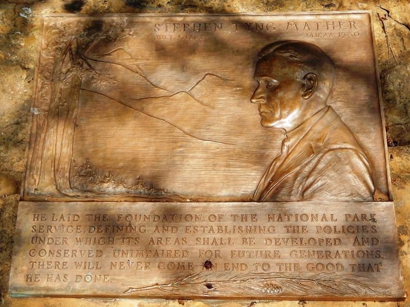
Stephen Tyng Mather
July 4, 1867 — Jan. 22, 1930
He laid the foundation of the National Park Service, defining and establishing the policies under which its areas shall be developed and conserved unimpaired for future generations. There will never come an end to the good that he has done.
Erected by National Park Service, United States Department of the Interior.
Topics and series. This historical marker is listed in these topic lists: Charity & Public Work • Environment • Parks & Recreational Areas. In addition, it is included in the Stephen Tyng Mather series list. A significant historical date for this entry is July 4, 1867.
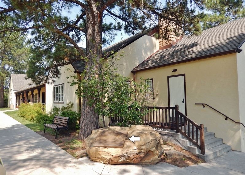
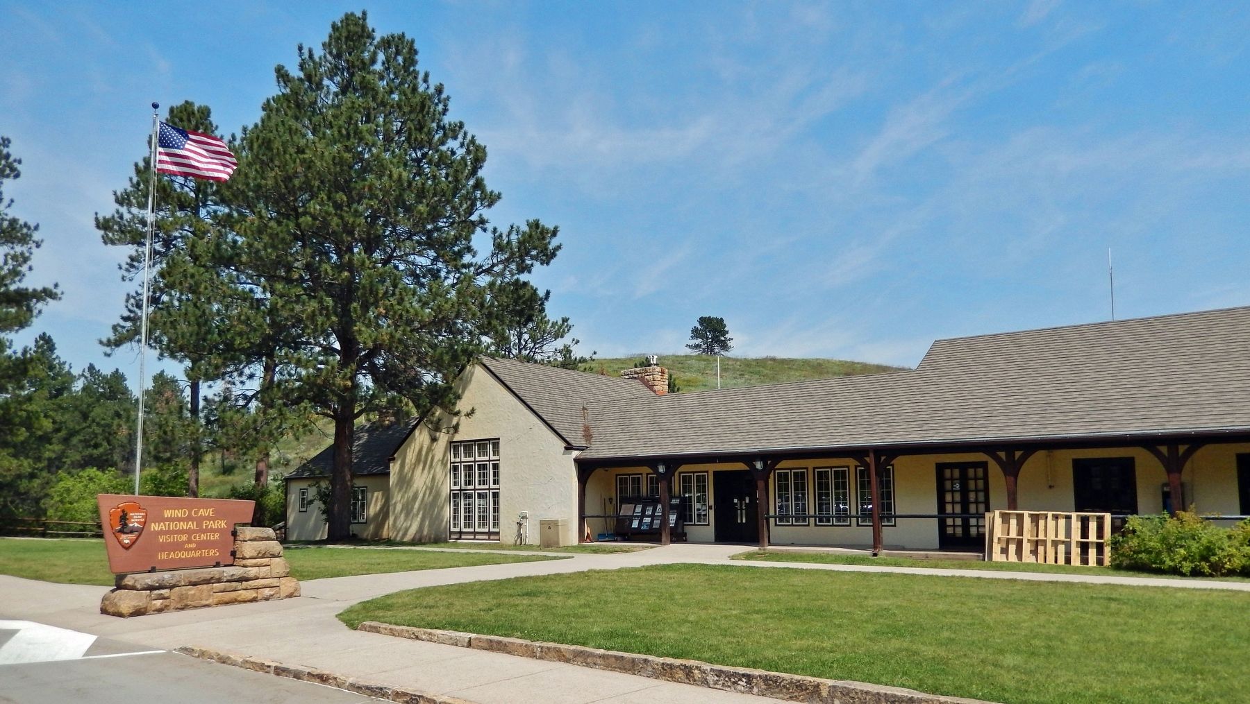
Location. 43° 33.377′ N, 103° 28.697′ W. Marker is near Hot Springs, South Dakota, in Custer County. Marker can be reached from Wind Cave Road, one mile south of U.S. 385. The marker is located along the walkway near the southwest corner of the Wind Cave National Park Visitor Center. Touch for map. Marker is at or near this postal address: 26611 US Highway 385, Hot Springs SD 57747, United States of America. Touch for directions.
Other nearby markers. At least 8 other markers are within 3 miles of this marker, measured as the crow flies. The CCC's Enduring Legacy (here, next to this marker); Home on the Range (here, next to this marker); Paha Sapa Limestone (a few steps from this marker); Life in a Prairie Dog Town (approx. 1.3 miles away); Early Game Preserve (approx. 1˝ miles away); Vanishing Prairie (approx. 1.7 miles away); Bringing Back the Bison (approx. 2 miles away); Civilian Conservation Corps Camp (approx. 2.4 miles away). Touch for a list and map of all markers in Hot Springs.
Also see . . .
1. Stephen Tyng Mather. Excerpt:
He was the founding director of the National Park Service in 1916. Prior to his involvement with NPS, he was an influential industrialist who had become personally wealthy from his involvement with Twenty Mule Team Borax. Mather was a dedicated conservationist, a member of the Sierra Club, and friend and admirer of John Muir; and an avid mountain climber. On a trip through Sequoia and Yosemite National Parks in 1914 he was shocked by the conditions he found. Mather wrote Secretary Franklin Lane a highly critical report on the mismanagement of the national parks. He and Lane were friends from their student days at the University of California. Quite succinctly Lane responded, "Dear Steve: If you don't like the way the national parks are run, why don't you come on down to Washington and run them yourself."(Submitted on October 17, 2023, by Cosmos Mariner of Cape Canaveral, Florida.)
2. Mather Plaques — A History (National Parks Service). Excerpt:
When it comes to Mather Plaques, they are spread out from Alaska to the Virgin Islands, Maine to Hawaii. They cover the gamut of National Parks, Monuments, a Sea Shore, Parkways, Memorials, a Preserve, a Battlefield, Recreation Areas, Historical Parks, Historic Sites, three administrative offices, a couple of State Parks, a city park, and two schools. They are in 16 UNESCO Biosphere Reserves. They are in 11 World Heritage Sites. They are a bit of history; they are a present reminder; they are a challenge for our future.(Submitted on October 17, 2023, by Cosmos Mariner of Cape Canaveral, Florida.)
Credits. This page was last revised on October 17, 2023. It was originally submitted on October 17, 2023, by Cosmos Mariner of Cape Canaveral, Florida. This page has been viewed 67 times since then and 15 times this year. Photos: 1, 2, 3. submitted on October 17, 2023, by Cosmos Mariner of Cape Canaveral, Florida.


