Near Marathon in Brewster County, Texas — The American South (West South Central)
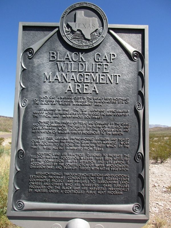
Black Gap Wildlife Management Area
Established in 1948, the "Gap" contains approximately 100,000 acres representative of the rugged Big Bend Country -- the typical arid, mountainous Southwest.
Owned by the people of Texas and operated by the Game and Fish Commission, the area is the scene of research and developmental work dedicated to the conservation and restoration of wildlife species indigenous to the region.
Mule deer, javelina, prong-horned antelope and scaled quail are among the principal game species managed. Work is in process to restore the bighorn sheep which, by the 1960's, were all but eliminated from Texas.
Scientific land use practices, designed to increases the yield of natural foods for wildlife, have been instituted by the Commission. Water retention and utilization is accomplished by the construction of water impoundments, diversion dams and "push ups" seeded with native vegetation.
Research findings, through demonstrations and educational extension programs conducted on this federal-state cooperative project, are available to the surrounding landowners and others who are interested. Game surpluses produced on the Black Gap are harvested periodically by hunters under a controlled public hunt program.
Erected 1963 by Texas Game and Fish Commission. (Marker Number 422.)
Topics. This historical marker is listed in these topic lists: Animals • Environment • Parks & Recreational Areas.
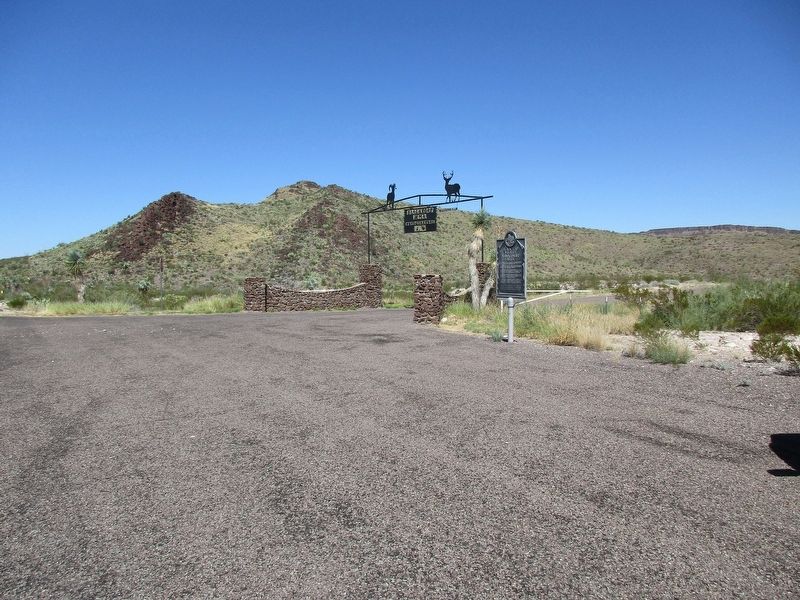
Location. 29° 33.723′ N, 102° 57.157′ W. Marker is near Marathon, Texas, in Brewster County. Marker is on Farm to Market Road 2627, 16.7 miles south of U.S. 385, on the left when traveling south. The marker is located at the entrance to Black Gap Wildlife Management Area. Touch for map. Marker is at or near this postal address: 49476 FM 2627, Alpine TX 79830, United States of America. Touch for directions.
Other nearby markers. At least 1 other marker is within 15 miles of this marker, measured as the crow flies. Ancient Swamp Creatures (approx. 14.9 miles away).
Credits. This page was last revised on October 20, 2023. It was originally submitted on October 18, 2023, by Jeff Leichsenring of Garland, Texas. This page has been viewed 58 times since then and 19 times this year. Photos: 1, 2. submitted on October 18, 2023, by Jeff Leichsenring of Garland, Texas. • James Hulse was the editor who published this page.

