Near Shenandoah in Page County, Virginia — The American South (Mid-Atlantic)
Rockingham County / Page County
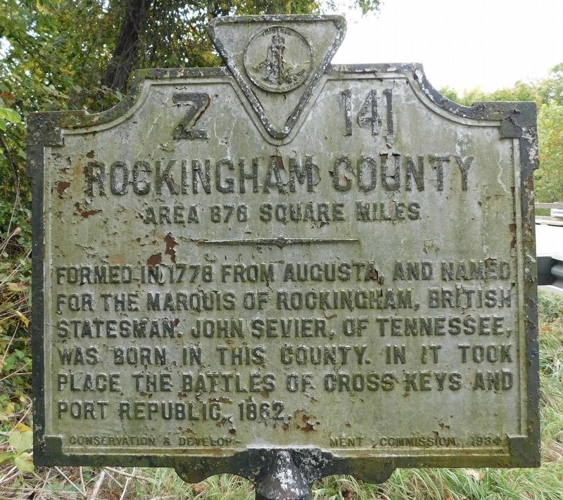
Rockingham County Area 876 square miles
Formed in 1778 from Augusta, and named for the Marquis of Rockingham, British Statesman. John Sevier, of Tennessee, was born in this county. In it took place the battles of Cross Keys and Port Republic, 1862.
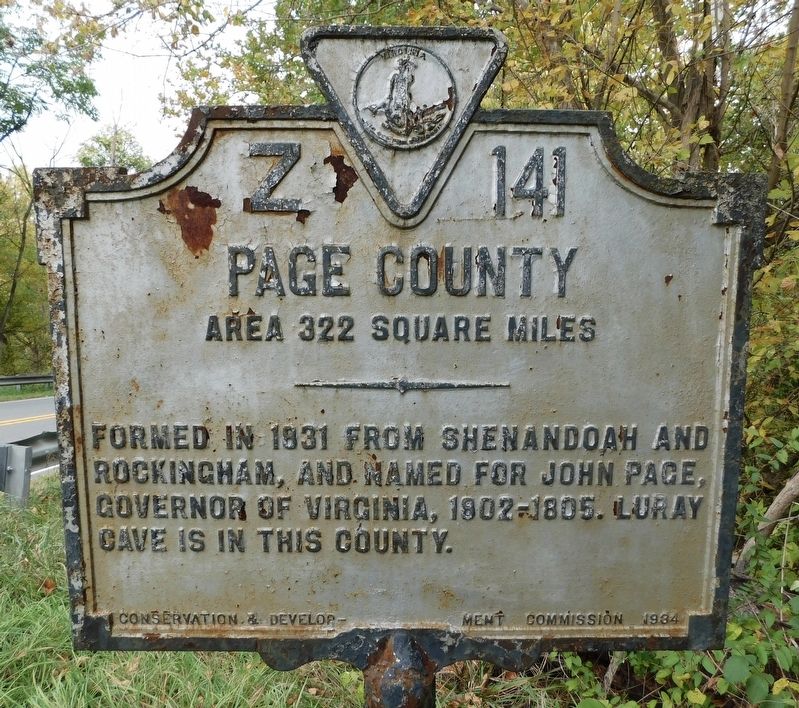
Page County Area 322 square miles
Formed in 1831 from Shenandoah and Rockingham, and named for John Page, Governor of Virginia, 1802-1805. Luray Cave is in this county.
Erected 1934 by Conservation & Development Commission. (Marker Number Z-141.)
Topics and series. This historical marker is listed in these topic lists: Natural Features • Political Subdivisions • War, US Civil. In addition, it is included in the Virginia Department of Historic Resources (DHR) series list. A significant historical year for this entry is 1778.
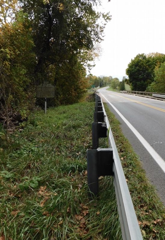
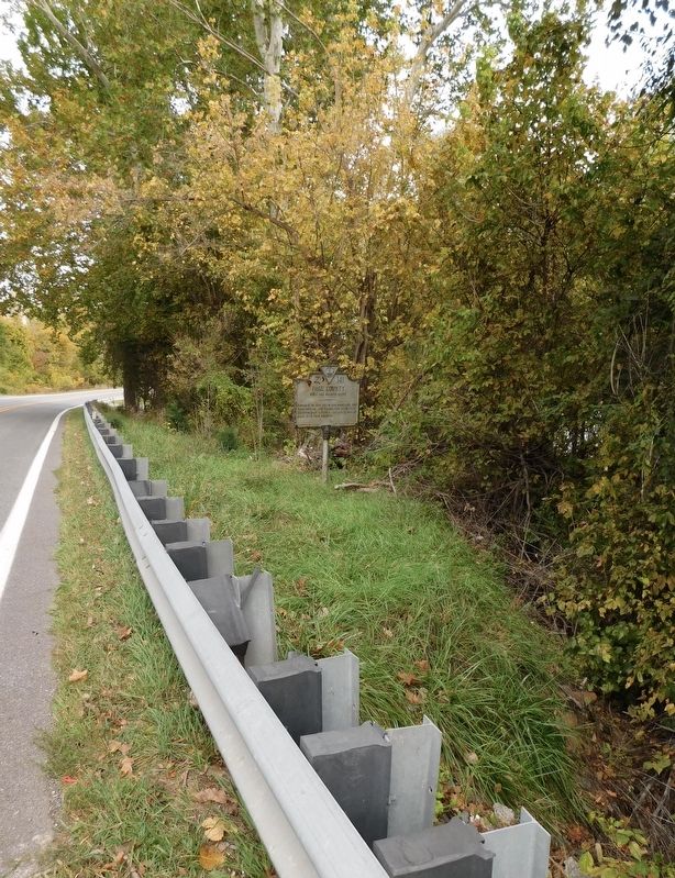
Location. 38° 27.894′ N, 78° 37.056′ W. Marker is near Shenandoah, Virginia, in Page County. Marker is on East Side Highway (U.S. 340) north of Naked Creek Road (Virginia Route 609), on the right when traveling north. Touch for map. Marker is at or near this postal address: 1728 East Side Highway, Shenandoah VA 22849, United States of America. Touch for directions.
Other nearby markers. At least 8 other markers are within 2 miles of this marker, measured as the crow flies. History of Verbena (within shouting distance of this marker); Shenandoah Iron Works (approx. 1.4 miles away); WWI Cannon 1906 Model (approx. 1.4 miles away); The Stevens Cottage 1890 (approx. 1.4 miles away); Shenandoah Historic District (approx. 1˝ miles away); Veterans Memorial (approx. 1.6 miles away); Shenandoah World War I & II Memorial (approx. 2 miles away); Veterans Memorial Fields (approx. 2 miles away). Touch for a list and map of all markers in Shenandoah.
Credits. This page was last revised on October 18, 2023. It was originally submitted on October 18, 2023, by Bradley Owen of Morgantown, West Virginia. This page has been viewed 71 times since then and 13 times this year. Photos: 1, 2, 3, 4. submitted on October 18, 2023, by Bradley Owen of Morgantown, West Virginia.


