Crozier in Goochland County, Virginia — The American South (Mid-Atlantic)
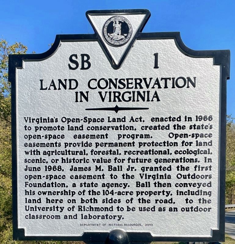
Land Conservation in Virginia
Erected 2019 by Department of Historic Resources. (Marker Number SB-1.)
Topics and series. This historical marker is listed in these topic lists: Agriculture • Environment • Horticulture & Forestry • Notable Places. In addition, it is included in the Virginia Department of Historic Resources (DHR) series list. A significant historical year for this entry is 1968.
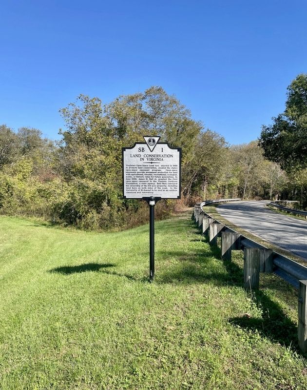
Location. 37° 40.674′ N, 77° 50.178′ W. Marker is in Crozier, Virginia, in Goochland County. Marker is on Sheppard Town Road, 0.3 miles Denver Drive, on the right when traveling west. Touch for map. Marker is at or near this postal address: 2094 Sheppard Town Road, Crozier VA 23039, United States of America. Touch for directions.
Other nearby markers. At least 8 other markers are within 3 miles of this marker, measured as the crow flies. Tanglewood Ordinary (approx. 1.8 miles away); The 1936 Virginia Prison Recordings (approx. 2.1 miles away); Beaverdam Episcopal Church (approx. 2.1 miles away); Goochland County Courthouse (approx. 2.6 miles away); Goochland's Jail (approx. 2.6 miles away); In Memory of All Veterans (approx. 2.6 miles away); Old Clerk's Office (approx. 2.6 miles away); a different marker also named Goochland County Courthouse (approx. 2.7 miles away).
Also see . . . Unveiling of Roadside Historical Marker at Ball Property in Goochland Commemorates More than 50 Year. (Submitted on October 18, 2023, by Brandon D Cross of Flagler Beach, Florida.)
Credits. This page was last revised on October 19, 2023. It was originally submitted on October 18, 2023, by Brandon D Cross of Flagler Beach, Florida. This page has been viewed 48 times since then and 8 times this year. Photos: 1, 2. submitted on October 18, 2023, by Brandon D Cross of Flagler Beach, Florida. • Andrew Ruppenstein was the editor who published this page.

