
Deadwood in Lawrence County, South Dakota — The American Midwest (Upper Plains)
Broadway Street
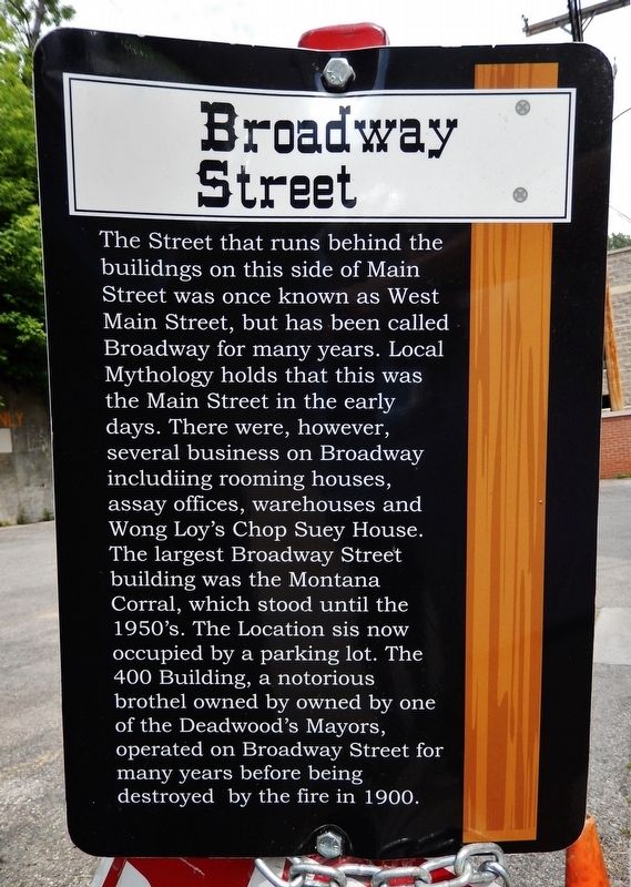
Photographed by Cosmos Mariner, August 20, 2023
1. Broadway Street Marker
Topics. This historical marker is listed in these topic lists: Industry & Commerce • Roads & Vehicles. A significant historical year for this entry is 1900.
Location. 44° 22.634′ N, 103° 43.839′ W. Marker is in Deadwood, South Dakota, in Lawrence County. It is at the intersection of Broadway Avenue and Lee Street, on the left when traveling north on Broadway Avenue. Touch for map. Marker is in this post office area: Deadwood SD 57732, United States of America. Touch for directions.

Regionally,
this page online
Other nearby markers. At least 8 other markers are within walking distance of this marker: Forest Hill (here, next to this marker); Deadwood 1876 (within shouting distance of this marker); Jack McCall Capture Site (within shouting distance of this marker); St. Johns Episcopal Church, Est. 1880 (within shouting distance of this marker); Home of John Belding (within shouting distance of this marker); The Fire of 1879 (within shouting distance of this marker); Waite Block Annex (about 300 feet away, measured in a direct line); Black Hills Trust and Savings Bank (about 300 feet away). Touch for a list and map of all markers in Deadwood.
Another marker is no longer nearby. Deadwood City 1876 (was within shouting distance of this marker but has been permanently removed).
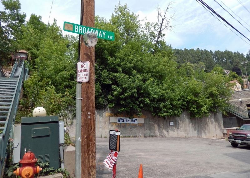
Photographed by Cosmos Mariner, August 20, 2023
2. Broadway Street Marker
Credits. This page was last revised on October 20, 2023. It was originally submitted on October 19, 2023, by Cosmos Mariner of Cape Canaveral, Florida. This page has been viewed 245 times since then and 20 times this year. Photos: 1, 2. submitted on October 20, 2023, by Cosmos Mariner of Cape Canaveral, Florida.
