Del Rio in Val Verde County, Texas — The American South (West South Central)
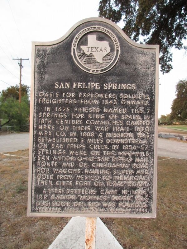
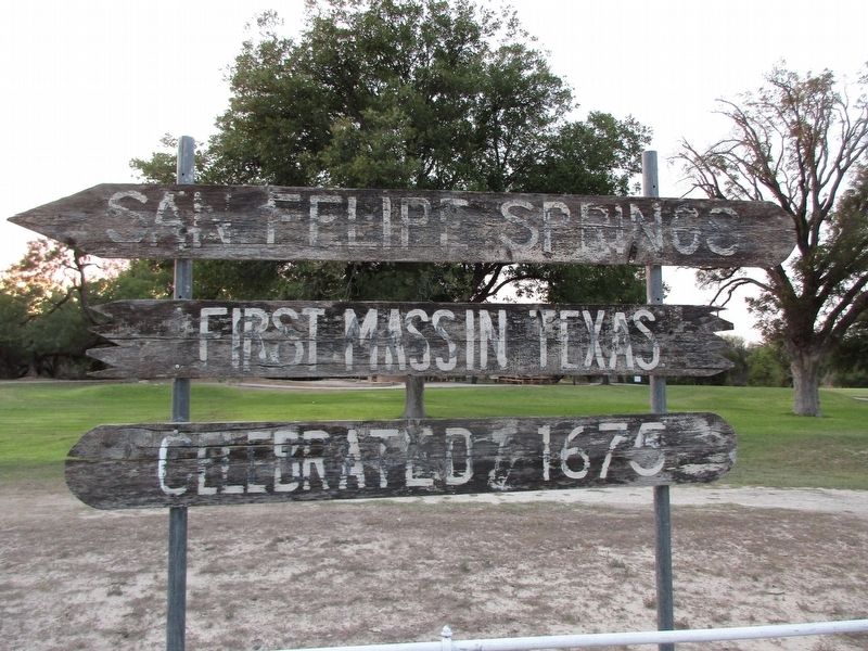
San Felipe Springs
In 1675 priests named the 7 Springs for King of Spain. In 18th century Comanches camped here on their war trail into Mexico. In 1808 a mission was established 3 miles downstream, on San Felipe Creek. By 1856-57, Springs were on the 1470-mile San Antonio-to-San Diego mail route and on Chihuahua Road for wagons hauling silver and gold from Mexico to Inidanola, then chief port on Texas Coast.
After settlers came in 1864, irrigation "Mother Ditch" was dug; soon Del Rio was founded.
Erected 1966 by State Historical Survey Committee. (Marker Number 4534.)
Topics. This historical marker is listed in these topic lists: Exploration • Native Americans • Settlements & Settlers • Waterways & Vessels. A significant historical year for this entry is 1542.
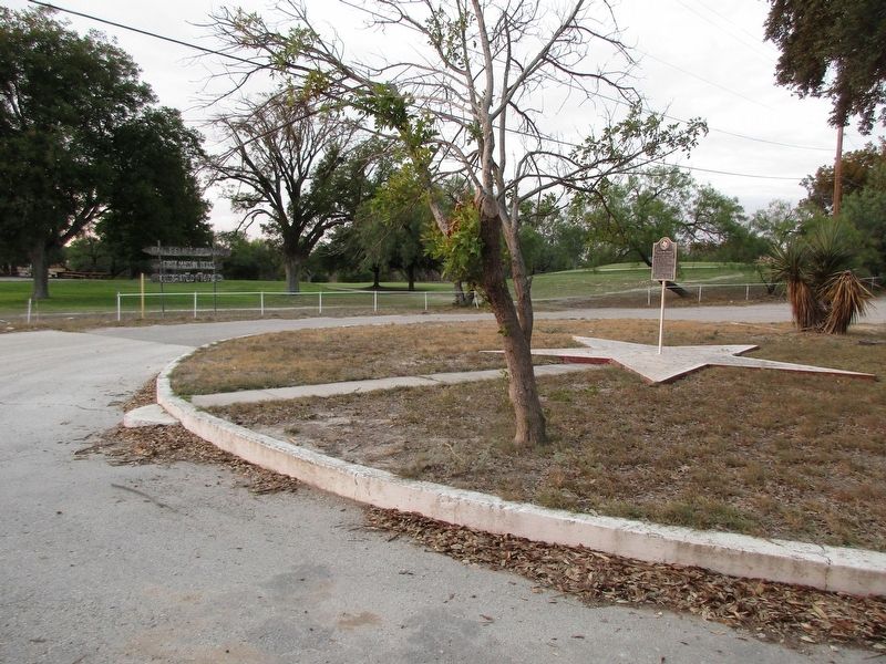
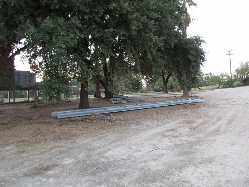
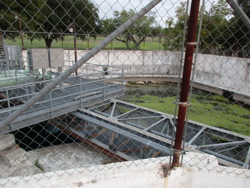
Location. 29° 22.43′ N, 100° 52.99′ W. Marker is in Del Rio, Texas, in Val Verde County. Marker can be reached from San Felipe Springs Road, ¼ mile north of Texas Route 90. The marker is located at the San Felipe Springs Golf Course, near Spring #3, between holes 6 and 7. Touch for map. Marker is at or near this postal address: 1524 E US 90, Del Rio TX 78840, United States of America. Touch for directions.
Other nearby markers. At least 8 other markers are within one mile of this marker, measured as the crow flies. U.S. Army Camel Corps (approx. 0.3 miles away); Val Verde County (approx. 0.3 miles away); Camp Michie (approx. half a mile away); Cal Rodgers and the Vin Fiz (approx. 0.6 miles away); Site of Camp Del Rio (approx. 0.7 miles away); Langston School (approx. 0.7 miles away); First Baptist Church of Del Rio (approx. 0.9 miles away); San Felipe Independent School District (approx. 1.1 miles away). Touch for a list and map of all markers in Del Rio.
Credits. This page was last revised on October 22, 2023. It was originally submitted on October 21, 2023, by Jeff Leichsenring of Garland, Texas. This page has been viewed 56 times since then and 15 times this year. Photos: 1, 2, 3, 4, 5. submitted on October 21, 2023, by Jeff Leichsenring of Garland, Texas. • James Hulse was the editor who published this page.
