
Fort Gregg-Adams in Prince George County, Virginia — The American South (Mid-Atlantic)
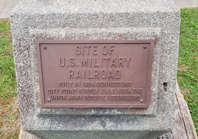
Site of U.S. Military Railroad
Photographed by James Hulse, October 6, 2023
1. Site of U.S. Military Railroad Marker
Erected by U.S Army.
Topics. This historical marker is listed in these topic lists: Railroads & Streetcars • War, US Civil. A significant historical year for this entry is 1864.
Location. 37° 13.601′ N, 77° 20.906′ W. Marker is in Fort Gregg-Adams, Virginia, in Prince George County. It is at the intersection of Sustainment Avenue and Jessup Street, on the right when traveling east on Sustainment Avenue. The marker is located on Fort Gregg-Adams, an active U.S. military installation. Appropriate identification is required for access for Fort Gregg-Adams. Touch for map. Marker is in this post office area: Fort Lee VA 23801, United States of America. Touch for directions.

Regionally, this marker is in Coastal Virginia. It is also in the American South, specifically in the Upper South, in the Tidewater, and on the Eastern Seaboard. Globally, it is in the North Atlantic Region, North America, the Western Hemisphere, the Western World, and the Anglosphere. Historically, it finds itself in what was once the territory of
this page online
Other nearby markers. At least 8 other markers are within walking distance of this marker: The United States Military Railroad (approx. ¼ mile away); General Brehon Burke Somervell (approx. ¼ mile away); Spring Used By The 209th Regt. Penn Vols. (approx. 0.3 miles away); To The Unknown Confederate Dead (approx. 0.4 miles away); U.S. Colored Troops (approx. half a mile away); Monotonous Toil (approx. half a mile away); a different marker also named Infantry Earthworks (approx. half a mile away); “A Splendid Charge” (approx. half a mile away).
Other markers no longer nearby. Prince George Court House Road (was approx. half a mile away but has been permanently removed); Infantry Earthworks (was approx. half a mile away but has been replaced with another marker now near it).
More about this marker. Fort Lee redesignated as Fort Gregg-Adams
Photographed by James Hulse, October 6, 2023
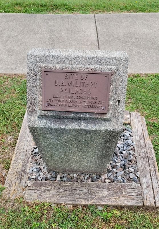
2. Site of U.S. Military Railroad Marker
Photographed by James Hulse, October 6, 2023
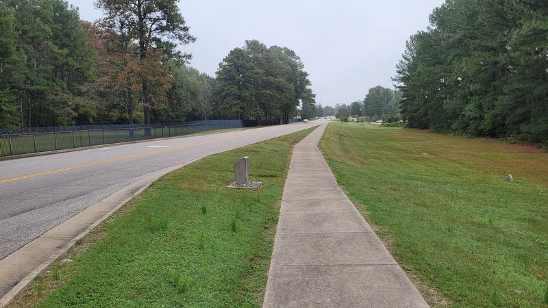
3. The Site of U.S. Military Railroad Marker is in front the Army Sustainment University
Public Domain - Andrew J. Russell, July 25, 1864
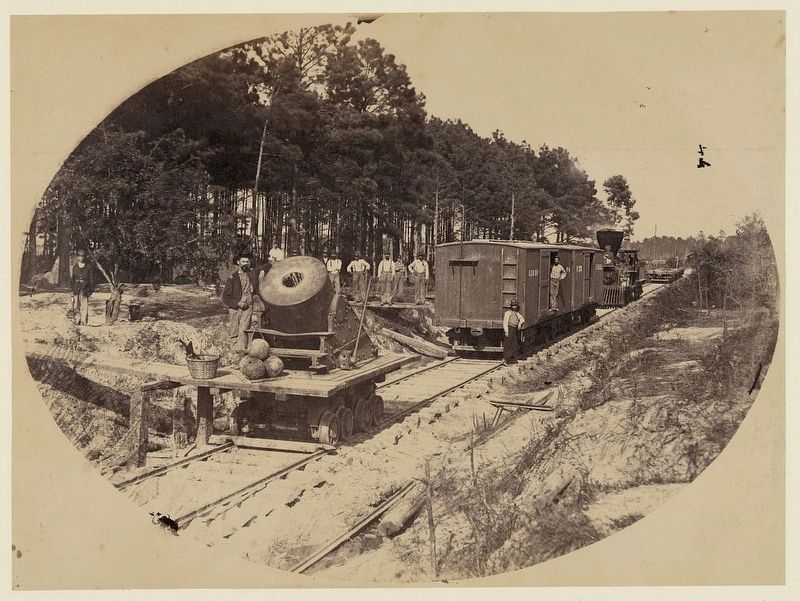
4. U.S. Military Railroad
Railroad mortar at Petersburg, Va., July 25, 1864. Photograph shows the mortar used to protect the United States Military Railroad.
Photographed by James Hulse, October 6, 2023
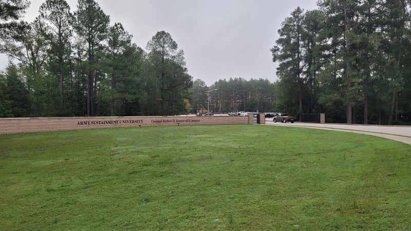
5. The front of the Army Sustainment University
Credits. This page was last revised on October 22, 2023. It was originally submitted on October 22, 2023, by James Hulse of Medina, Texas. This page has been viewed 271 times since then and 29 times this year. Photos: 1, 2, 3, 4, 5. submitted on October 22, 2023, by James Hulse of Medina, Texas.
