New Salem in Morton County, North Dakota — The American Midwest (Upper Plains)
Custer Trail
1874-1876
Photographed by Cosmos Mariner, August 26, 2023
1. Custer Trail Marker
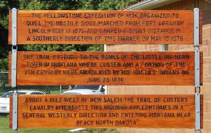
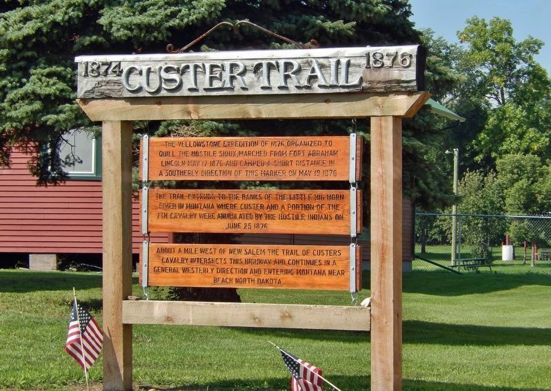
The Yellowstone Expedition of 1876, organized to quell the hostile Sioux, marched from Fort Abraham Lincoln May 17, 1876, and camped a short distance in a southerly direction of this marker on May 19, 1876.
The trail extends to the banks of the Little Big Horn River in Montana where Custer and a portion of the 7th Cavalry were annihilated by the hostile Indians on June 25, 1876.
About a mile west of New Salem the trail of Custer’s Calvary intersects this highway and continues in a general westerly direction and entering Montana near Beach, North Dakota.
Topics. This historical marker is listed in these topic lists: Indigenous Peoples and Communities • Wars, US Indian. A significant historical date for this entry is May 19, 1876.
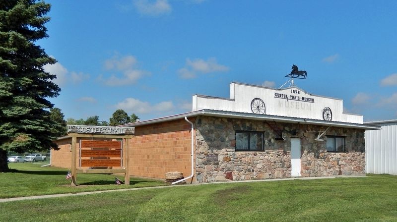
Location. 46° 51.072′ N, 101° 25.107′ W. Marker is in New Salem, North Dakota, in Morton County. It can be reached from 8th Street North 0.7 miles south of Interstate 94, on the right when traveling south. The marker is located on the Custer Trail Museum grounds, on the south side of the museum building. Touch for map. Marker is at or near this postal address: 900 8th Street North, New Salem ND 58563,
this page online

Regionally, this marker is in the Mandan, Hidatsa, and Arikara Nation, in the Standing Rock Sioux Tribe, on the Missouri Plateau, and in Greater Bismarck Area. It is also in the American Lewis & Clark Corridor, on the prairies, and on the Northern Plains. Globally, it is in North America, the Western Hemisphere, the Western World, and the Anglosphere. Historically, it finds itself in what was once Rupert’s Land and also the Louisiana Purchase.
Other nearby markers. At least one other marker is within walking distance of this marker: Salem Sue (approx. 0.4 miles away).
Related markers. Click here for a list of markers that are related to this marker. Custer Trail / Yellowstone Expedition of 1876
Also see . . . 1876: Custer defeated; Lakota and Cheyenne prevail. Excerpt:
On June 25 and 26, on the Greasy Grass River (which is now known as the Little Bighorn), 2,000 Lakota and Cheyenne, who are defending their summer hunting camp, fight and defeat U.S. troops led by Lieutenant Colonel George Armstrong Custer. Custer and the 209 soldiers fighting under him(Submitted on October 22, 2023, by Cosmos Mariner of Cape Canaveral, Florida.)are killed. The Indians lose just 32 men.Photographed by Cosmos Mariner, August 26, 20232. Custer Trail Marker
Photographed by Cosmos Mariner, August 26, 2023
3. Custer Trail Marker
Credits. This page was last revised on October 23, 2023. It was originally submitted on October 22, 2023, by Cosmos Mariner of Cape Canaveral, Florida. This page has been viewed 470 times since then and 77 times this year. Photos: 1, 2, 3. submitted on October 22, 2023, by Cosmos Mariner of Cape Canaveral, Florida.
