White Swan Township near Pickstown in Charles Mix County, South Dakota — The American Midwest (Upper Plains)
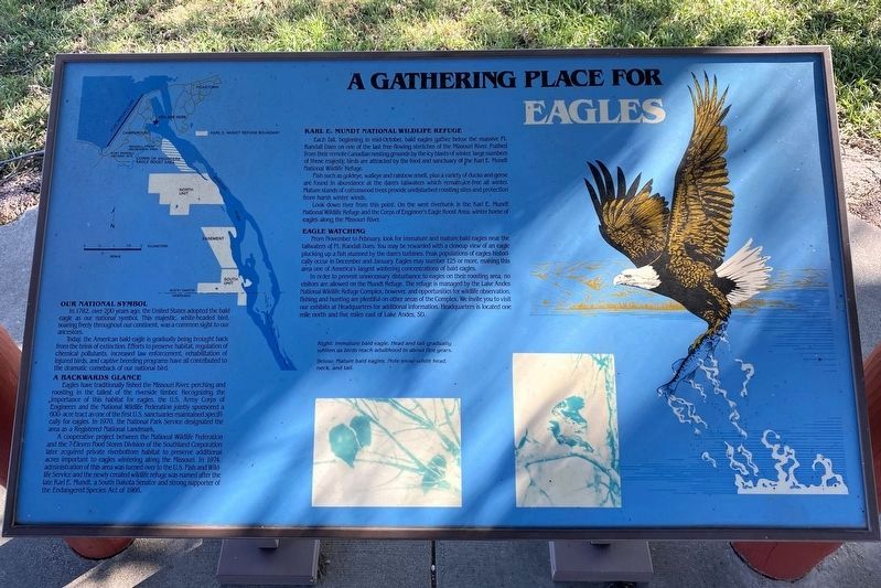
A Gathering Place for Eagles
Our National Symbol
In 1782, over 200 years ago, the United States adopted the bald eagle as our national symbol. This majestic, white-headed bird, soaring freely throughout our continent, was a common sight to our ancestors.
Today, the American bald eagle is gradually being brought back from the brink of extinction. Efforts to preserve habitat, regulation of chemical pollutants, increased law enforcement, rehabilitation of injured birds, and captive breeding programs have all contributed to the dramatic comeback of our national bird.
A Backwards Glance
Eagles have traditionally fished the Missouri River, perching and roosting in the tallest of the riverside timber. Recognizing the importance of this habitat for eagles, the U.S. Army Corps of Engineers and the National Wildlife Federation jointly sponsored a 600-acre tract as one of the first U.S. sanctuaries maintained specifically for eagles. In 1970, the National Park Service designated the area as a Registered National Landmark.
A cooperative project between the National Wildlife Federation and the 7-Eleven Food Stores Division of the Southland Corporation later acquired private riverbottom habitat to preserve additional acres important to eagles wintering along the Missouri. In 1974, administration of this area was turned over to the U.S. Fish and Wildlife Service and the newly created wildlife refuge was named after the late Karl E. Mundt, a South Dakota Senator and strong supporter of the Endangered Species Act of 1966.
Karl E. Mundt National Wildlife Refuge
Each fall, beginning in mid-October, bald eagles gather below the massive Ft. Randall Dam, on one of the last free-flowing stretches of the Missouri River. Pushed from their remote Canadian nesting grounds by the icy blasts of winter, large numbers of these majestic birds are attracted by the food and sanctuary of the Karl E. Mundt National Wildlife Refuge.
Fish such as goldeye, walleye and rainbow smelt, plus a variety of ducks and geese are found in abundance at the dam's tailwaters which remain ice-free all winter. Mature stands of cottonwood trees provide undisturbed roosting sites and protection from harsh winter winds.
Look down river from this point. On the west riverbank is the Karl E. Mundt National Wildlife Refuge and the Corps of Engineer's Eagle Roost Area, winter home of eagles along the Missouri River.
Eagle Watching
From November to February, look for immature and mature bald eagles near the tailwaters of Ft. Randall Dam. You may be rewarded with a closeup view of an eagle plucking up a fish stunned by the dam's turbines. Peak populations of eagles historically occur in December and January. Eagles may number 125 or more, making this area one of America's largest wintering concentrations of bald eagles.
In order to prevent unnecessary disturbance to eagles on their roosting area, no visitors are allowed on the Mundt Refuge. The refuge is managed by the Lake Andes National Wildlife Refuge Complex, however, and opportunities for wildlife observation, fishing, and hunting are plentiful on other areas of the Complex. We invite you to visit our exhibits at Headquarters for additional information. Headquarters is located one mile north and five miles east of Lake Andes, SD.
Right: Immature bald eagle. Head and tail gradually whiten as birds reach adulthood in about five years.
Below: Mature bald eagles. Note snow-white head, neck, and tail.
Topics. This historical marker is listed in these topic lists: Animals • Environment • Waterways & Vessels. A significant historical year for this entry is 1970.
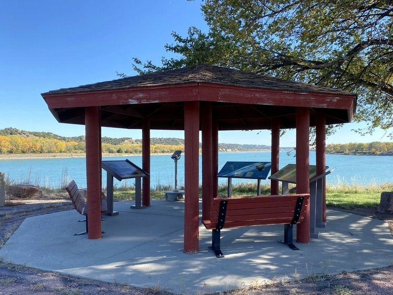
Location. 43° 3.341′ N, 98° 32.996′ W. Marker is near Pickstown, South Dakota, in Charles Mix County. It is in White Swan Township. Located at the interpretive shelter above the fishing area at the Fort Randall Dam. Touch for map. Marker is in this post office area: Lake Andes SD 57356, United States of America. Touch for directions.
Other nearby markers. At least 8 other markers are within walking distance of this marker. Missouri River (here, next to this marker); Fort Randall Area (here, next to this marker); Fort Randall Eagle Roost (within shouting distance of this marker); Welcome to Randall Creek Recreation Area (approx. 0.3 miles away); Supply & Demand (approx. 0.6 miles away); Frontier Firepower (approx. 0.6 miles away); Crime & Punishment (approx. 0.6 miles away); In Sickness & in Health (approx. 0.6 miles away). Touch for a list and map of all markers in Pickstown.
Credits. This page was last revised on October 25, 2023. It was originally submitted on October 25, 2023. This page has been viewed 63 times since then and 20 times this year. Photos: 1, 2, 3. submitted on October 25, 2023.


