West Seventh - Fort Road in Saint Paul in Ramsey County, Minnesota — The American Midwest (Upper Plains)
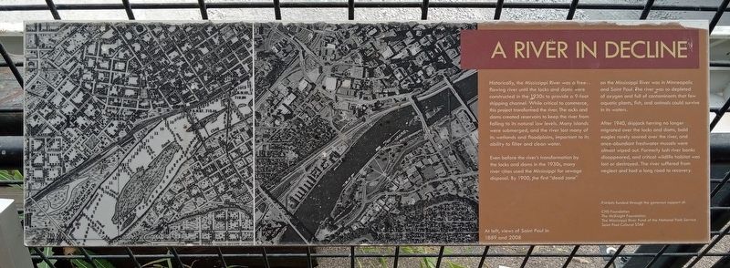
A River in Decline
Historically, the Mississippi River was a free-flowing river until the locks and dams were constructed in the 1930s to provide a 9-foot shipping channel. While critical to commerce, this project transformed the river. The locks and dams created reservoirs to keep the river from falling to its natural low levels. Many islands were submerged, and the river lost many of its wetlands and floodplains, important to its ability to filter and clean water.
Even before the river's transformation by the locks and dams in the 1930s, many river cities used the Mississippi for sewage disposal. By 1900, the first "dead zone" on the Mississippi River was in Minneapolis and Saint Paul. The river was so depleted of oxygen and full of contaminants that few aquatic plants, fish, and animals could survive in its waters.
After 1940, skipjack herring no longer migrated over the locks and dams, bald eagles rarely soared over the river, and once-abundant freshwater mussels were almost wiped out. Formerly lush river banks disappeared, and critical wildlife habitat was lost or destroyed. The river suffered from neglect and had a long road to recovery.
At left, views of Saint Paul in 1889 and 2008
Exhibits funded through the generous support of:
CHS Foundation
The McKnight Foundation
The Mississippi River Fund of the National Park Service
Saint Paul Cultural STAR
Topics. This historical marker is listed in these topic lists: Animals • Environment • Industry & Commerce • Waterways & Vessels. A significant historical year for this entry is 1900.
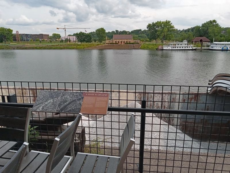
Location. 44° 56.34′ N, 93° 5.982′ W. Marker is in Saint Paul, Minnesota, in Ramsey County. It is in West Seventh - Fort Road. Marker can be reached from the intersection of Mill Street and Walnut Street. The marker is at the City House restaurant, on the railing overlooking the Mississippi River. Touch for map. Marker is at or near this postal address: 258 Mill Street, Saint Paul MN 55102, United States of America. Touch for directions.
Other nearby markers. At least 8 other markers are within walking distance of this marker. Welcome to the Saint Paul Municipal Grain Terminal (a few steps from this marker); USS Saint Paul (CA-73) Anchor (about 800 feet away, measured in a direct line); Saint Paul AMVETS Memorial (about 800 feet away); River Commerce and the Upper Landing (approx. 0.2 miles away); Irvine Park / Irvine Park Historic District (approx. 0.2 miles away); Justus Ohage, M.D. (approx. ¼ mile away); Alexander Ramsey House (approx. ¼ mile away); Giants populate the earth (approx. ¼ mile away). Touch for a list and map of all markers in Saint Paul.
Credits. This page was last revised on October 30, 2023. It was originally submitted on October 25, 2023, by McGhiever of Minneapolis, Minnesota. This page has been viewed 54 times since then and 14 times this year. Photos: 1, 2. submitted on October 25, 2023, by McGhiever of Minneapolis, Minnesota. • J. Makali Bruton was the editor who published this page.

