Ivel in Floyd County, Kentucky — The American South (East South Central)
The Battle of Ivy Mountain
November 8, 1861
Photographed by Duane Hall, August 7, 2015
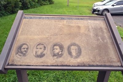
1. The Battle of Ivy Mountain Marker
this page online
Topics. This historical marker is listed in this topic list: War, US Civil. A significant historical date for this entry is November 8, 1861.
Location. 37° 35.593′ N, 82° 39.826′ W. Marker is in Ivel, Kentucky, in Floyd County. It is at the intersection of U.S. 23 and County Road 1032, on the right when traveling east on U.S. 23. Marker is at a pullout on the southwest side of US 23 across from its intersection with CR 1032. Touch for map. Marker is in this post office area: Ivel KY 41642, United States of America. Touch for directions.

Regionally, this marker is in Eastern Kentucky and in the Cumberland Plateau. It is also in the American South, specifically in the Upper South, in Appalachia, and specifically in Southern Appalachia. Globally, it is in North America, the Western Hemisphere, the Western World, and the Anglosphere. Historically,
Photographed by Duane Hall, August 7, 2015
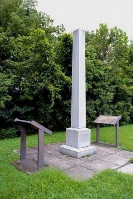
2. Battle of Ivy Mountain Markers
Other nearby markers. At least 8 other markers are within 8 miles of this marker, measured as the crow flies: A different marker also named The Battle of Ivy Mountain (here, next to this marker); Struggle for the Big Sandy Valley (here, next to this marker); Little Floyd (approx. 2 miles away); In Memory of the Lives We Lost on Friday February 28, 1958 (approx. 6.3 miles away); Leslie / Lesley Settlement (approx. 6.4 miles away); Snivley Chapel (approx. 6½ miles away); Ferguson Town Branch Ferry and Dock (approx. 7.8 miles away); Floyd County Veterans Memorial (approx. 7.9 miles away). Touch for a list and map of all markers in Ivel.
More about this marker. Marker is in poor condition at its far right end, and some parts of the last paragraph are not legible. Transcription of the last paragraph was derived from a photo of this marker at https://www.flickr.com/photos/kaintuckeean/6036730949 which was taken when the marker was in slightly better condition.
At the bottom, the marker includes portraits of Colonel John S. Williams
Photographed by Duane Hall, August 7, 2015
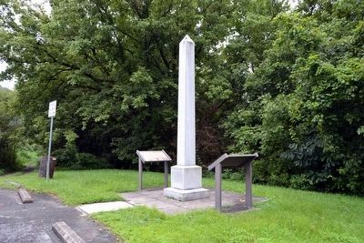
3. View to South from Parking Lot
Also see . . . Big Sandy Expedition - Wikipedia entry. (Submitted on August 29, 2015.)
Photographed by Duane Hall, August 7, 2015
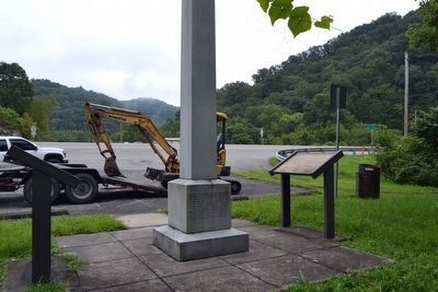
4. View Towards Pullout and US 23
Credits. This page was last revised on October 26, 2023. It was originally submitted on August 29, 2015. This page has been viewed 1,714 times since then and 102 times this year. Last updated on October 25, 2023. Photos: 1, 2, 3, 4. submitted on August 29, 2015, by Duane Hall of Abilene, Texas. • James Hulse was the editor who published this page.
