Washburn in McLean County, North Dakota — The American Midwest (Upper Plains)
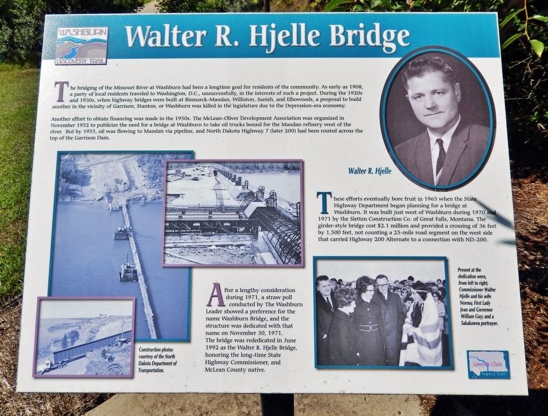
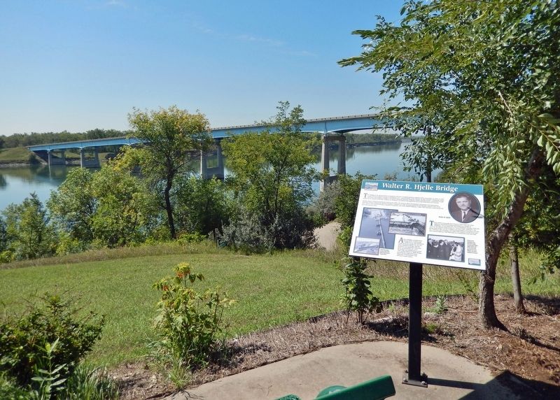
Walter R. Hjelle Bridge
— Washburn Discovery Trail/Lewis & Clark Legacy Trail —
The bridging of the Missouri River at Washburn had been a longtime goal for residents of the community. As early as 1908, a party of local residents traveled to Washington, D.C., unsuccessfully, in the interests of such a project. During the 1920s and 1930s, when highway bridges were built at Bismarck-Mandan, Williston, Sanish, and Elbowoods, a proposal to build another in the vicinity of Garrison, Stanton, or Washburn was killed in the legislature due to the Depression-era economy.
Another effort to obtain financing was made in the 1950s. The McLean-Oliver Development Association was organized in November 1952 to publicize the need for a bridge at Washburn to take oil trucks bound for the Mandan refinery west of the river. But by 1955, oil was flowing to Mandan via pipeline, and North Dakota Highway 7 (later 200) had been routed across the top of the Garrison Dam.
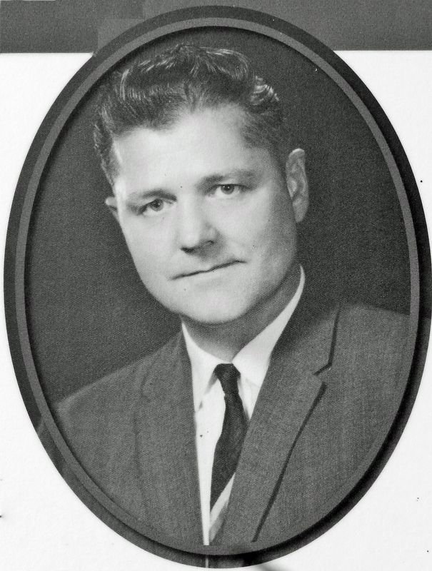
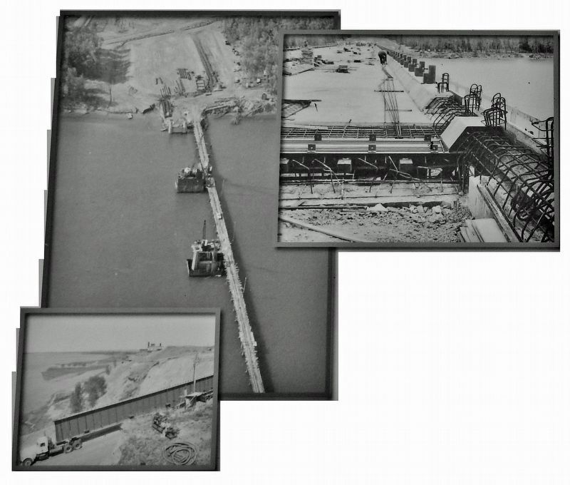
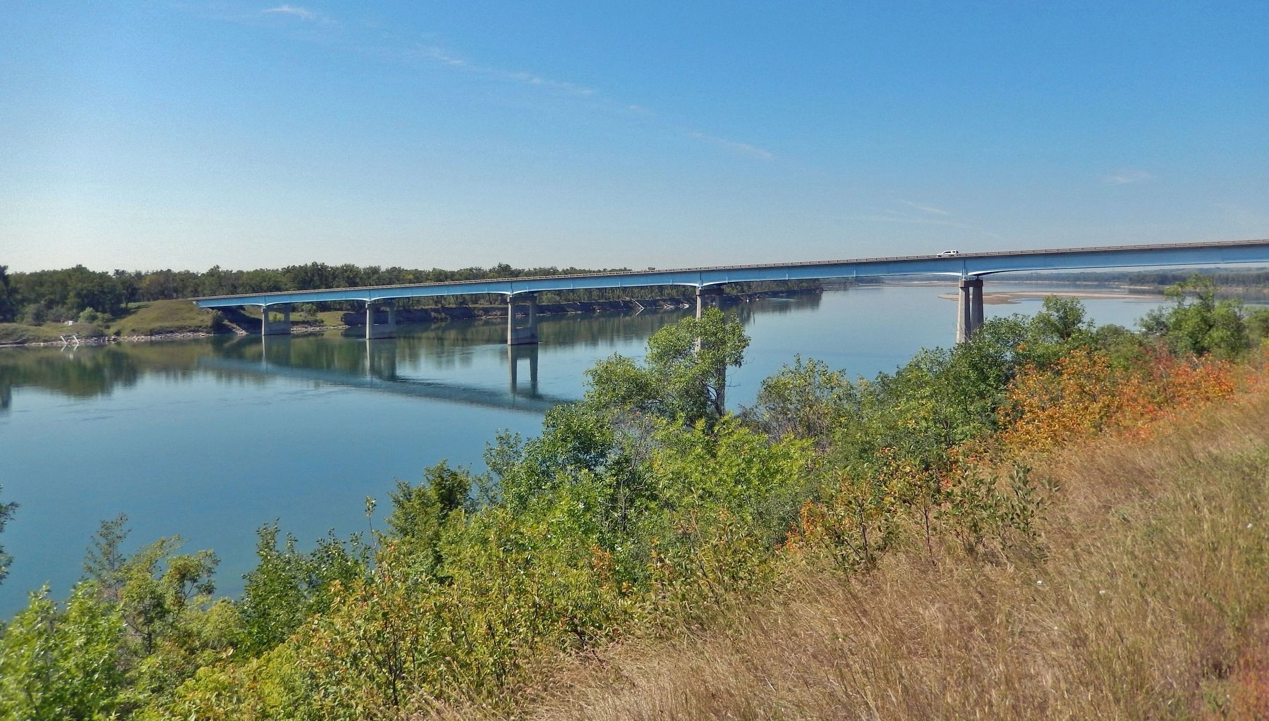
These efforts eventually bore fruit in 1965 when the State Highway Department began planning for a bridge at Washburn. It was built just west of Washburn during 1970 and 1971 by the Sletten Construction Co. of Great Falls, Montana. The girder-style bridge cost $2.1 million and provided a crossing of 36 feet by 1,500 feet, not counting a 25-mile road segment on the west side that carried Highway 200 Alternate to a connection with ND-200.
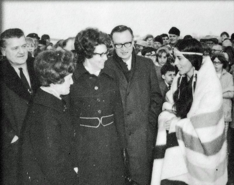
After a lengthy consideration during 1971, a straw poll conducted by The Washburn Leader showed a preference for the name Washburn Bridge, and the structure was dedicated with that name on November 30, 1971. The bridge was rededicated in June 1992 as the Walter R. Hjelle Bridge, honoring the long-time State Highway Commissioner, and McLean County native.
Erected by Washburn Discovery Trail.
Topics. This historical marker is listed in these topic lists: Bridges & Viaducts • Roads & Vehicles • Waterways & Vessels. A significant historical date for this entry is November 30, 1971.
Location. 47° 17.396′ N, 101° 2.38′ W. Marker is in Washburn, North Dakota, in McLean County. Marker can be reached from Boat Ramp Road just south of 1st Street. The marker is located along the Washburn Discovery Trail, overlooking Boat Ramp Road, the Missouri River, and the Hjelle Bridge from just south of 1st Street. Touch for map. Marker is in this post office area: Washburn ND 58577, United States of America. Touch for directions.
Other nearby markers. At least 8 other markers are within walking distance of this marker. Nettle Creek Country School (about 700 feet away, measured in a direct line); Sioux (approx. ¼ mile away); The Sioux Ferry Boat (approx. ¼ mile away); Ferry Boats on the Missouri (approx. ¼ mile away); The Washburn Plant (approx. 0.4 miles away); River Boats on the Missouri (approx. half a mile away); Soo Line Railroad & Depot (approx. 0.6 miles away); Taylor Cabin (approx. 0.7 miles away). Touch for a list and map of all markers in Washburn.
Related markers. Click here for a list of markers that are related to this marker. Washburn Discovery Trail
Credits. This page was last revised on October 27, 2023. It was originally submitted on October 26, 2023, by Cosmos Mariner of Cape Canaveral, Florida. This page has been viewed 96 times since then and 26 times this year. Photos: 1, 2, 3, 4, 5, 6. submitted on October 26, 2023, by Cosmos Mariner of Cape Canaveral, Florida.
