
McHenry in Garrett County, Maryland — The American Northeast (Mid-Atlantic)
Western Maryland
At the Crossroads of Conflict
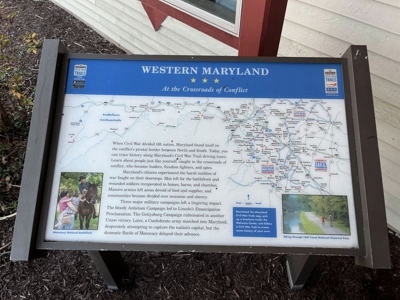
When Civil War divided the nation, Maryland found itself on the conflict's pivotal border between North and South. Today, you can trace history along Maryland's Civil War Trail driving tours. Learn about people just like yourself, caught in the crossroads of conflict, who became leaders, freedom fighters, and spies.
Maryland's citizens experienced the harsh realities of war fought on their doorsteps. Men left for the battlefront and wounded soldiers recuperated in homes, barns, and churches. Massive armies left areas devoid of food and supplies, and communities became divided over secession and slavery.
Three major military campaigns left a lingering impact. The bloody Antietam Campaign led to Lincoln's Emancipation Proclamation. The Gettysburg Campaign culminated in another Union victory. Later, a Confederate army marched into Maryland, desperately attempting to capture the nation's capital, but the dramatic Battle of Monocacy delayed their advance.
Erected by Maryland Civil War Trails.
Topics and series. This historical marker is listed in this topic list: War, US Civil. In addition, it is included
this page online
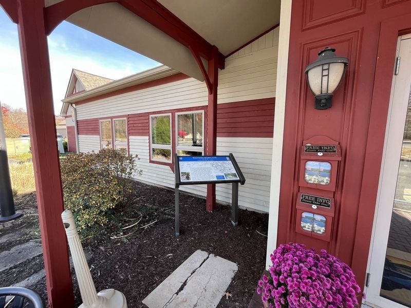
Location. 39° 33.704′ N, 79° 21.514′ W. Marker is in McHenry, Maryland, in Garrett County. It is on Visitors Center Drive just south of Garrett Highway (U.S. 219), on the right when traveling north. Touch for map. Marker is at or near this postal address: 15 Visitors Center Dr, Mc Henry MD 21541, United States of America. Touch for directions.

Regionally, this marker is in Western Maryland. It is also in the American Mid-Atlantic, in Appalachia, and specifically in Northern Appalachia. Globally, it is in North America, the Western Hemisphere, the Western World, and the Anglosphere. Historically, it finds itself in what was once one of the original Thirteen Colonies.
Other nearby markers. At least 8 other markers are within walking distance of this marker: A different marker also named The National Road (a few steps from this marker); An Attraction for Visitors (a few steps from this marker); Wisp Ski Resort (approx. half a mile away); African American History (approx. half a mile away); Deep Creek Volunteer Fire Company (approx. 0.6
Other markers no longer nearby. Gettysburg Campaign (was here, next to this marker but has been replaced with another marker now near it); The National Road (was a few steps from this marker but has been replaced with another marker now near it).
Related marker. Click here for another marker that is related to this marker. This marker has replaced the linked marker.
Credits. This page was last revised on October 27, 2023. It was originally submitted on October 27, 2023, by Devry Becker Jones of Washington, District of Columbia. This page has been viewed 262 times since then and 34 times this year. Photos: 1, 2. submitted on October 27, 2023, by Devry Becker Jones of Washington, District of Columbia.
