Barnstead in Belknap County, New Hampshire — The American Northeast (New England)
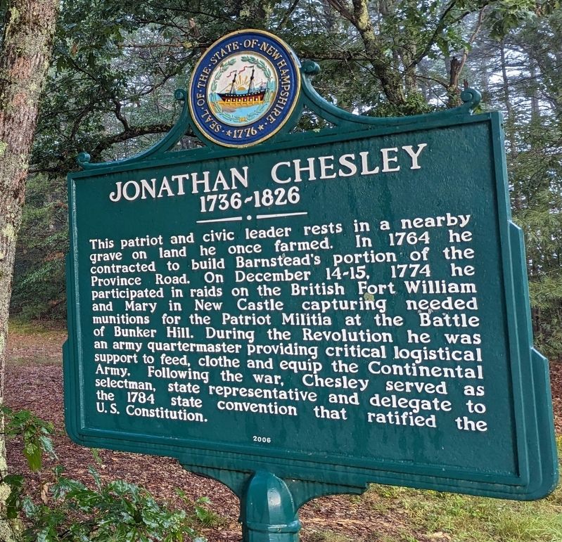
Jonathan Chesley
1736 - 1826
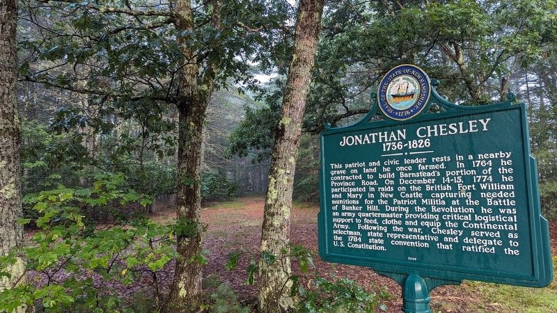
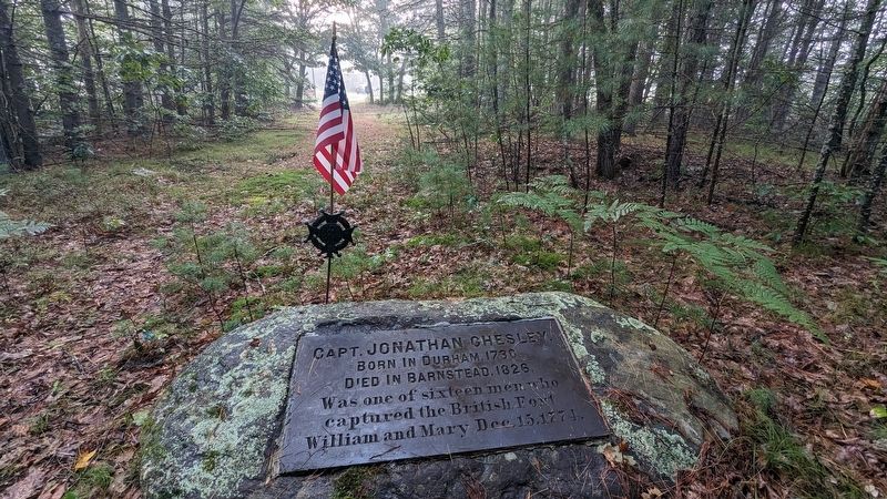
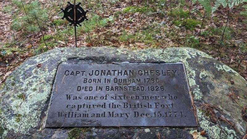
This patriot and civic leader rests in a nearby grave on land he once farmed. In 1764 he contracted to build Barnstead's portion of the Province Road. On December 14-15, 1774 he participated in raids on the British Fort William and Mary in New Castle capturing needed monitions for the Patriot Militia at the Battle of Bunker Hill. During the Revolution he was an army quartermaster providing critical logistical support to feed, clothe and equip the Continental Army. Following the war, Chesley served as selectman, state representative and delegate to the 1784 state convention that ratified the U.S. Constitution.
Erected 2006 by New Hampshire Division of Historical Resources. (Marker Number 0201.)
Topics. This historical marker is listed in these topic lists: Cemeteries & Burial Sites • Colonial Era • Patriots & Patriotism • War, US Revolutionary.
Location. 43° 19.786′ N, 71° 15.355′ W. Marker is in Barnstead, New Hampshire, in Belknap County. Marker is on S Barnstead Road (New Hampshire Route 126) north of Gray Road, on the left when traveling north. Touch for map. Marker is in this post office area: Barnstead NH 03218, United States of America. Touch for directions.
Other nearby markers. At least 8 other markers are within 9 miles of this marker, measured as the crow flies. Old Province Road (approx. 6.9 miles away); First New Hampshire Turnpike (approx. 7.4 miles away); Pineground Bridge (approx. 7.6 miles away); New Durham Meeting House (approx. 8.3 miles away); Northwood Parade 1775 (approx. 8.3 miles away); Northwood NH WWI Honor Roll (approx. 8.3 miles away); Northwood NH War Memorial (approx. 8.3 miles away); Northwood NH WWII Honor Roll (approx. 8.3 miles away).
Credits. This page was last revised on November 9, 2023. It was originally submitted on October 27, 2023, by Kelly Marsh of Moultonboro, New Hampshire. This page has been viewed 58 times since then and 21 times this year. Photos: 1, 2, 3, 4. submitted on October 27, 2023, by Kelly Marsh of Moultonboro, New Hampshire. • Michael Herrick was the editor who published this page.


