Cayuga in Haldimand County, Ontario — Central Canada (North America)
Judicial Complex, Haldimand County
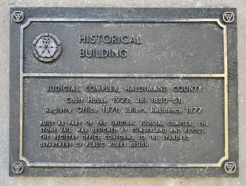
Historical Building
Photographed by Tim Boyd, October 23, 2023
1. Judicial Complex, Haldimand County Marker
Judicial Complex, Haldimand County
Court House, 1923, Jail 1850-51,
Registry Office 1871, Jailer's Residence 1877
Built as part of the original judicial complex, the stone jail was designed by Cumberland and Ridout. The registry office conforms to the standard Department of Public Works design.
Erected 1984 by Province of Ontario.
Topics. This historical marker is listed in these topic lists: Architecture • Law Enforcement • Notable Buildings. A significant historical year for this entry is 1923.
Location. 42° 57.312′ N, 79° 51.523′ W. Marker is in Cayuga, Ontario, in Haldimand County. It is on Munsee Street North 0.2 kilometers north of Echo Street West, on the right when traveling south. Touch for map. Marker is at or near this postal address: 55 Munsee Street North, Cayuga ON N0A 1E0, Canada. Touch for directions.

Regionally, this marker is in the Southwest Ontario Area and in Southwestern Ontario. It is also in Central Canada. Globally, it is in North America, on the Great Lakes, in the Western Hemisphere, in the Western World, and in the Anglosphere. Historically, it finds itself
this page online
Other nearby markers. At least 8 other markers are within 8 kilometers of this marker, measured as the crow flies: The Haldimand Grant (within shouting distance of this marker); Nicholas Log Cabin (about 90 meters away, measured in a direct line); Flour Mill Stones (about 90 meters away); Evolving History of the Cayuga Bridge (approx. 0.7 kilometers away); Ruthven Mansion (approx. 3 kilometers away); Ruthven Park (approx. 3 kilometers away); The Youngs (approx. 4.2 kilometers away); The Davis, Martindale Flour and Grist Mill of York (approx. 7.7 kilometers away). Touch for a list and map of all markers in Cayuga.
Also see . . . Wikipedia - Haldimand County.
Haldimand's history has been closely associated with that of neighbouring Norfolk County. Upper Canada was created in 1791 by being separated from the old Province of Quebec, Haldimand was created in 1798 as part of the Niagara District.[3] It was named after Sir Frederick Haldimand, the governor of the Province of Quebec from 1778 to 1785.
Photographed by Tim Boyd, October 23, 2023
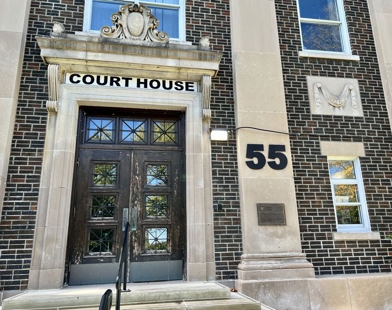
2. Judicial Complex, Haldimand County Marker
Photographed by Tim Boyd, October 23, 2023
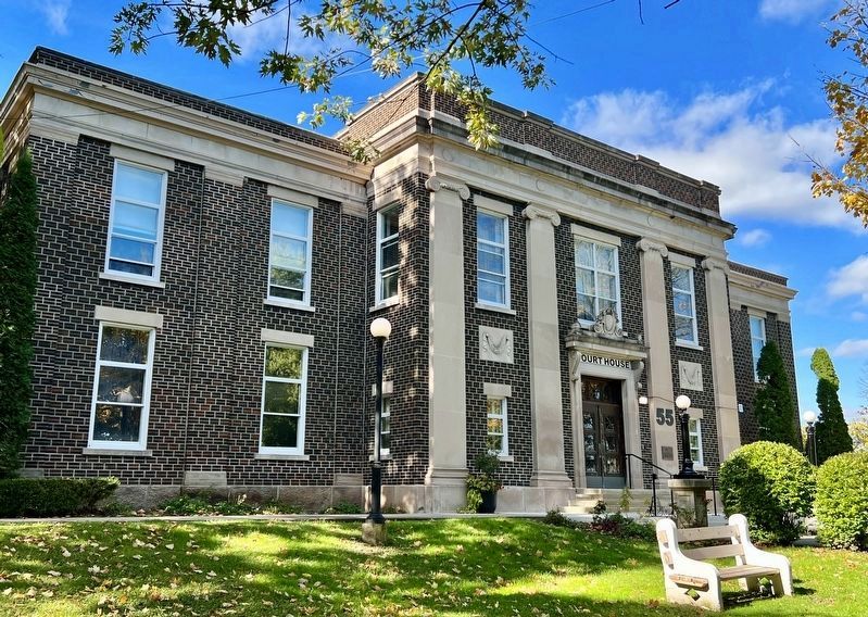
3. The Cayuga Courthouse, 1923
Photographed by Tim Boyd, October 23, 2023
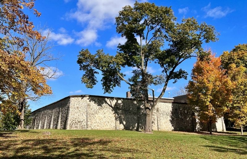
4. The Haldimand County Jail, 1851
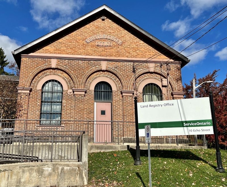
Photographed by Tim Boyd, October 23, 2023
5. The Haldimand County Land Registry Office, 1871
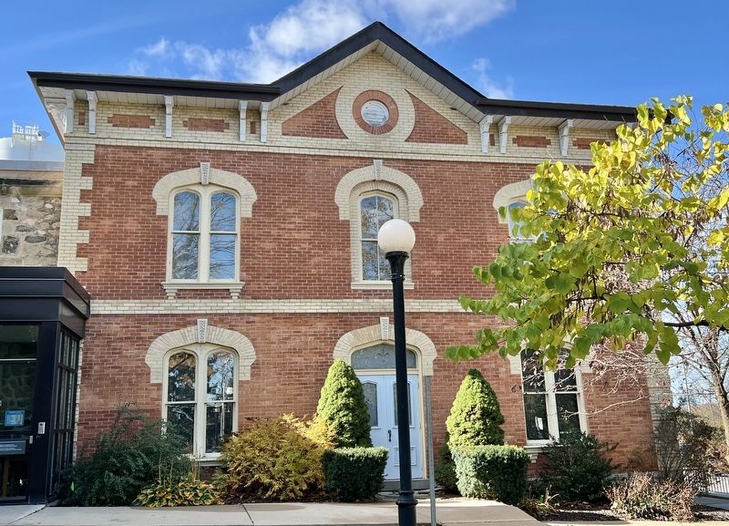
Photographed by Tim Boyd, October 23, 2023
6. The Jailer’s Residence, 1877
Credits. This page was last revised on October 29, 2023. It was originally submitted on October 27, 2023, by Tim Boyd of Hamilton, Ontario. This page has been viewed 437 times since then and 51 times this year. Photos: 1, 2, 3, 4, 5, 6. submitted on October 27, 2023, by Tim Boyd of Hamilton, Ontario. • Andrew Ruppenstein was the editor who published this page.
