Marker Logo HMdb.org THE HISTORICAL
MARKER DATABASE
“Bite-Size Bits of Local, National, and Global History”
Anguilla in Sharkey County, Mississippi — The American South (East South Central)
 

Anguilla Mound

— Mississippi Mound Trail —


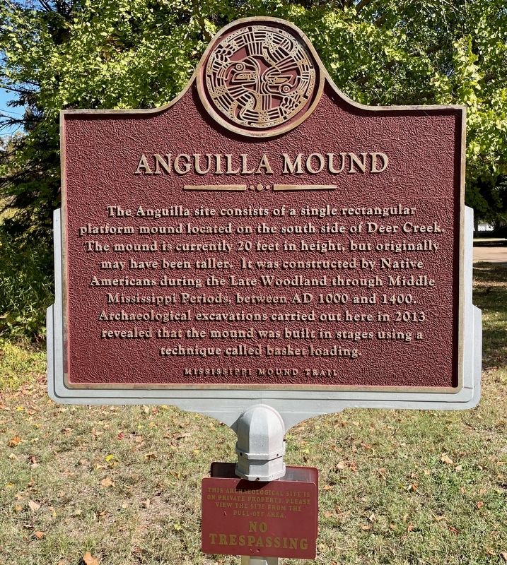
Anguilla Mound Marker image. Click for full size.
Photographed By Mark Hilton, October 26, 2023
1. Anguilla Mound Marker
Inscription. The Anguilla site consists of a single rectangular platform mound located on the south side of Deer Creek. The mound is currently 20 feet in height, but originally may have been taller. It was constructed by Native Americans during the Late Woodland through Middle Mississippi Periods between AD 1000 and 1400. Archaeological excavations carried out here in 2013 revealed that the mound was built in stages using a technique called basket loading.
 
Erected by the Mississippi Department of Archives and History.
 
Topics and series. This historical marker is listed in these topic lists: Anthropology & ArchaeologyNative Americans. In addition, it is included in the Mississippi Mound Trail series list.
 
Location. 32° 58.353′ N, 90° 50.478′ W. Marker is in Anguilla, Mississippi, in Sharkey County. Marker is on Creek Road, 0.3 miles west of Barfield Road, on the right when traveling west. Touch for map. Marker is in this post office area: Anguilla MS 38721, United States of America. Touch for directions.
 
Other nearby markers. At least 8 other markers are within 11 miles of this marker, measured as the crow flies. Carter Mounds (approx. 4.1 miles away); The Story of Teddy Bears (approx. 4.9 miles away); Muddy Waters (approx. 4.9 miles away); What is a Shotgun Shack?
Paid Advertisement
Click on the ad for more information.
Please report objectionable advertising to the Editor.
Click or scan to see
this page online
(approx. 4.9 miles away); Sharkey County Courthouse (approx. 5 miles away); Rolling Fork Mounds (approx. 5.7 miles away); Grace Mounds (approx. 7.6 miles away); Hampton Plantation (approx. 10.1 miles away).
 
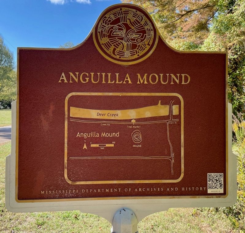
Anguilla Mound map of location of mound. image. Click for full size.
Photographed By Mark Hilton, October 26, 2023
2. Anguilla Mound map of location of mound.
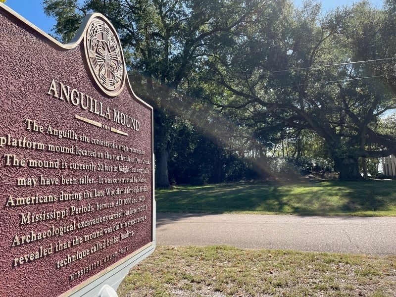
Anguilla Mound Marker with mound in distance. image. Click for full size.
Photographed By Mark Hilton, October 26, 2023
3. Anguilla Mound Marker with mound in distance.
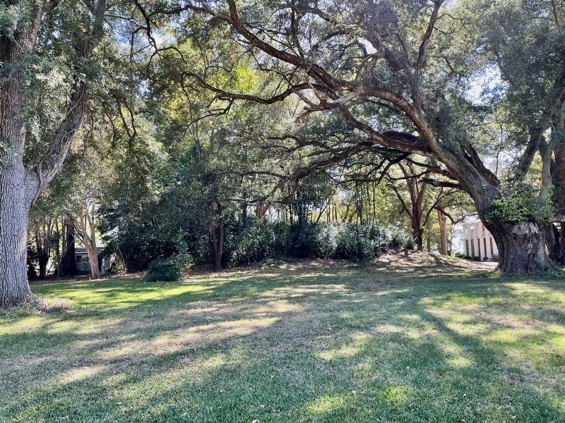
Anguilla Mound image. Click for full size.
Photographed By Mark Hilton, October 26, 2023
4. Anguilla Mound
 
 
Credits. This page was last revised on October 28, 2023. It was originally submitted on October 28, 2023, by Mark Hilton of Montgomery, Alabama. This page has been viewed 47 times since then and 8 times this year. Photos:   1, 2, 3, 4. submitted on October 28, 2023, by Mark Hilton of Montgomery, Alabama.
Share this page.  
Share on Tumblr
m=235138

CeraNet Cloud Computing sponsors the Historical Marker Database.
This website earns income from purchases you make after using our links to Amazon.com. We appreciate your support.
Paid Advertisement
Apr. 30, 2024