Middletown in Frederick County, Virginia — The American South (Mid-Atlantic)
The Toll of War
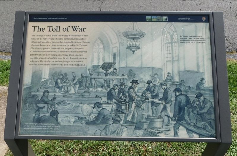
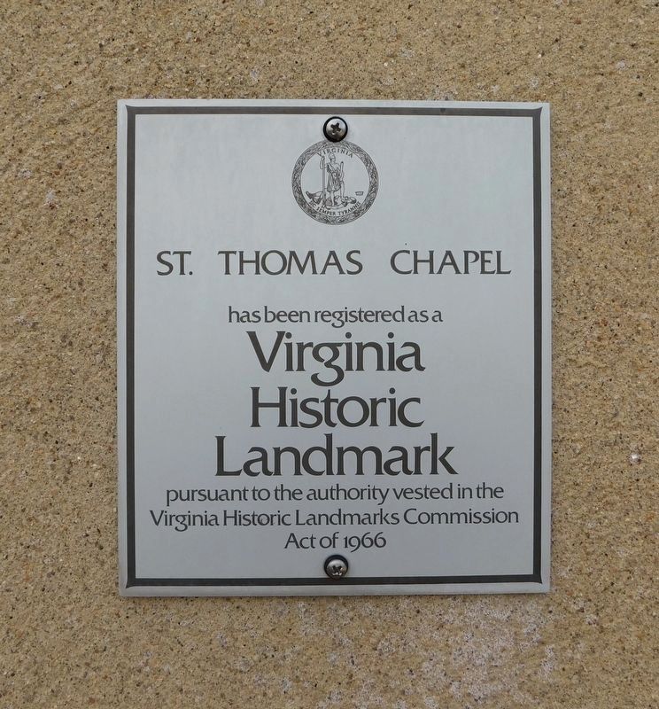
The carnage of battle meant that beside the hundreds of men killed or mortally wounded on the battlefield, thousands of others had wounds or injuries that required treatment. Dozens of private homes and other structures, including St. Thomas Church were pressed into service as temporary hospitals. Conditions were deplorable, as medicine was still somewhat primitive and in short supply, knowledge about infection was little understood and the need for sterile conditions was unknown. The number of soldiers dying from infections was almost double the number who died on the battlefield.
(Captions):
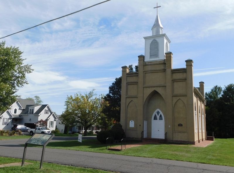
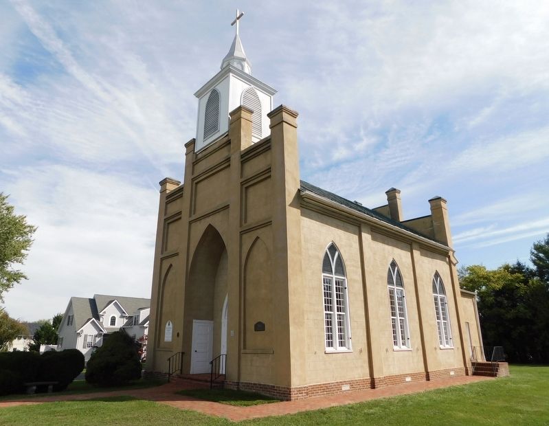
St. Thomas Episcopal Church opened in 1837. The Hite family of Belle Grove was instrumental in raising funds for its construction.
This James Taylor sketch depicts Union doctors performing surgery inside St. Thomas Chapel following the Battle of Cedar Creek.
Sketch by James E. Taylor, an artist for Frank Leslie's Illustrated Newspaper, 1864
Erected by National Park Service, U.S. Department of the Interior.
Topics. This historical marker is listed in these topic lists: Churches & Religion • Science & Medicine • War, US Civil. A significant historical year for this entry is 1837.
Location. 39° 1.669′ N, 78° 16.667′ W. Marker is in Middletown, Virginia, in Frederick County. Marker is on Church Street south of 2nd Street, on the right when traveling south. Touch for map. Marker is at or near this postal address: 7854 Church Street, Middletown VA 22645, United States of America. Touch for directions.
Other nearby markers. At least 8 other markers are within walking distance of this marker. Middletown Virginia (about 500 feet away, measured in a direct line); Old Stone Fort (about 600 feet away); Colonel Charles Russell Lowell (approx. 0.2 miles away); Engagement Of Middletown (approx. 0.2 miles away); The Shenandoah Valley / Battle of Cedar Creek, October 19, 1864 (approx. 0.3 miles away); Middletown Veterans Memorial (approx. 0.4 miles away); Middletown (approx. half a mile away); Defense in the Cemetery (approx. half a mile away). Touch for a list and map of all markers in Middletown.
Credits. This page was last revised on November 3, 2023. It was originally submitted on October 28, 2023, by Bradley Owen of Morgantown, West Virginia. This page has been viewed 63 times since then and 16 times this year. Photos: 1, 2, 3. submitted on October 28, 2023, by Bradley Owen of Morgantown, West Virginia. 4, 5, 6. submitted on November 3, 2023, by Bradley Owen of Morgantown, West Virginia.
