Wayne Township in Puxico in Bollinger County, Missouri — The American Midwest (Upper Plains)
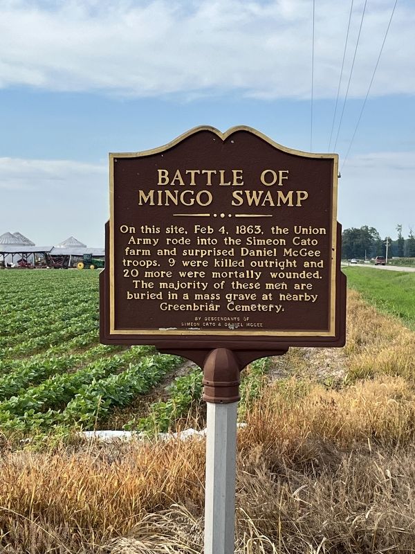
Battle of Mingo Swamp
Erected by Descendants of Simeon Cato & Daniel McGee.
Topics. This historical marker is listed in these topic lists: Cemeteries & Burial Sites • War, US Civil. A significant historical date for this entry is February 4, 1863.
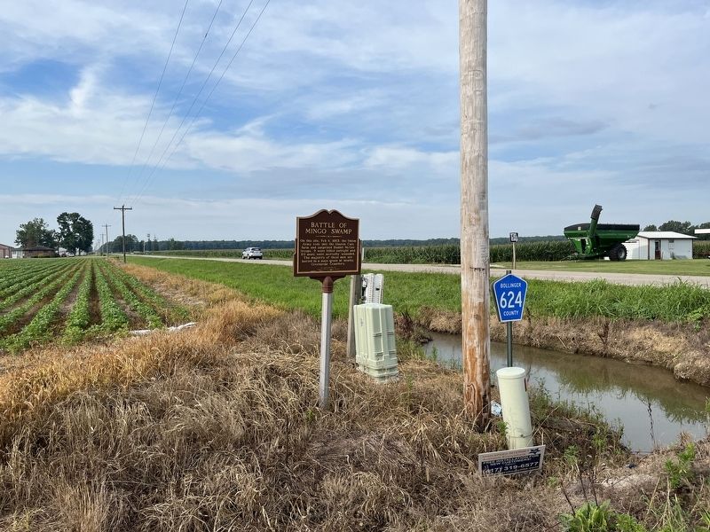
Location. 37° 4.196′ N, 90° 4.347′ W. Marker is in Puxico, Missouri, in Bollinger County. It is in Wayne Township. Marker is at the intersection of Missouri Route 51 and County Route 624, on the left when traveling south on State Route 51. Touch for map. Marker is at or near this postal address: 10901 Bcr 716, Sturdivant MO 63782, United States of America. Touch for directions.
Other nearby markers. At least 8 other markers are within 15 miles of this marker, measured as the crow flies. The Civil War Hospitals of Bloomfield (approx. 14.9 miles away); The Bloomfield Academy (approx. 14.9 miles away); The History of Bloomfield High School (approx. 14.9 miles away); The Execution of Asa V. Ladd (approx. 15.1 miles away); Stoddard Countians Aboard the C.S. Arkansas (approx. 15.1 miles away); Major Amos Stoddard (approx. 15.1 miles away); Mutiny in Bloomfield (approx. 15.1 miles away); The Civil War in Bloomfield (approx. 15.1 miles away).

Photographed By Craig Swain, July 31, 2023
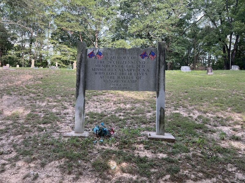
3. Greenbrier Cemetery Memorial
Approximately 5.5 miles (by road) to the northeast of the marker is Greenbrier Cemetery, where many of the Confederate dead were buried. A memorial in the cemetery reads:
In memory of the 29 citizens and members of the 2CD Missouri Cavalry, C.S.A. who lost their lives at the Battle of Mingo Swamp. Feb 4, 1863. Deo Vindice.
The cemetery may be reached by driving north on Missouri 51, then traveling east on State Highway C, and finally north on County Road 614. The cemetery is a short distance off County Road 614 on County Road 646.
Credits. This page was last revised on March 20, 2024. It was originally submitted on October 28, 2023, by Craig Swain of Leesburg, Virginia. This page has been viewed 142 times since then and 94 times this year. Photos: 1, 2. submitted on October 28, 2023, by Craig Swain of Leesburg, Virginia. 3. submitted on March 20, 2024, by Craig Swain of Leesburg, Virginia. • Bernard Fisher was the editor who published this page.

