Near Grantsville in Garrett County, Maryland — The American Northeast (Mid-Atlantic)
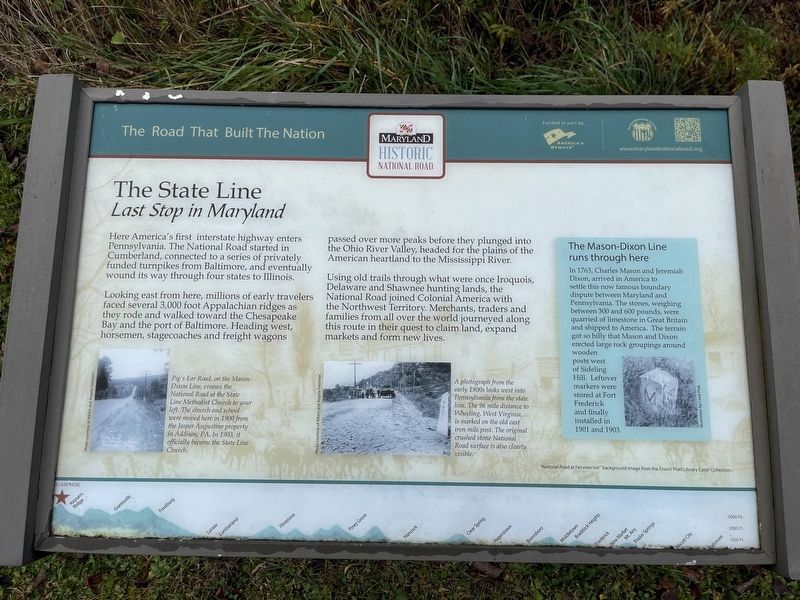
The State Line
Last Stop in Maryland
— The Road That Built The Nation —
Here in America's first interstate highway enters Pennsylvania. The National Road started in Cumberland, connected to a series of privately funded turnpikes from Baltimore, and eventually wound its way through four states to Illinois.
Looking east from here, millions of early travelers faced several 3,000 foot Appalachian ridges as they rode and walked toward the Chesapeake Bay and the port of Baltimore. Heading west, horsemen, stagecoaches and freight wagons passed over more peaks before they plunged into the Ohio River Valley, headed for the plains of the American heartland to the Mississippi River.
Using old trails through what were once Iroquois, Delaware and Shawnee hunting lands, the National Road joined Colonial America with the Northwest Territory. Merchants, traders and families from all over the world journeyed along this route in their quest to claim lands, expand markets and form new lives.
[Sidebar:]
The Mason-Dixon Line runs through here
In 1763, Charles Mason and Jeremiah Dixon, arrived in America to settle this now famous boundary dispute between Maryland and Pennsylvania. The stones, weighing between 300 and 600 pounds, were quarried of limestone in Great Britain and shipped to America. The terrain got so hilly that Mason and Dixon erected large rock groupings around wooden posts west of Sideling Hill. Leftover markers were stored at Fort Frederick and finally installed in 1901 and 1903.
[Captions:]
Pig's Ear Road, on the Mason-Dixon Line, crosses the National Road at the State Line Methodist Church to your left. The church and school were moved here in 1900 from the Jasper Augustine property in Addison, PA. In 1903, it officially became the State Line Church.
A photograph from the early 1900s looks west into Pennsylvania from the state line. The 96 mile distance to Wheeling, West Virginia, is marked on the old cast iron mile post. The original crushed stone National Road surface is also clearly visible.
Erected by America's Byways; Maryland National Road Association.
Topics and series. This historical marker is listed in these topic lists: Native Americans • Political Subdivisions • Roads & Vehicles. In addition, it is included in the The Historic National Road series list. A significant historical year for this entry is 1763.
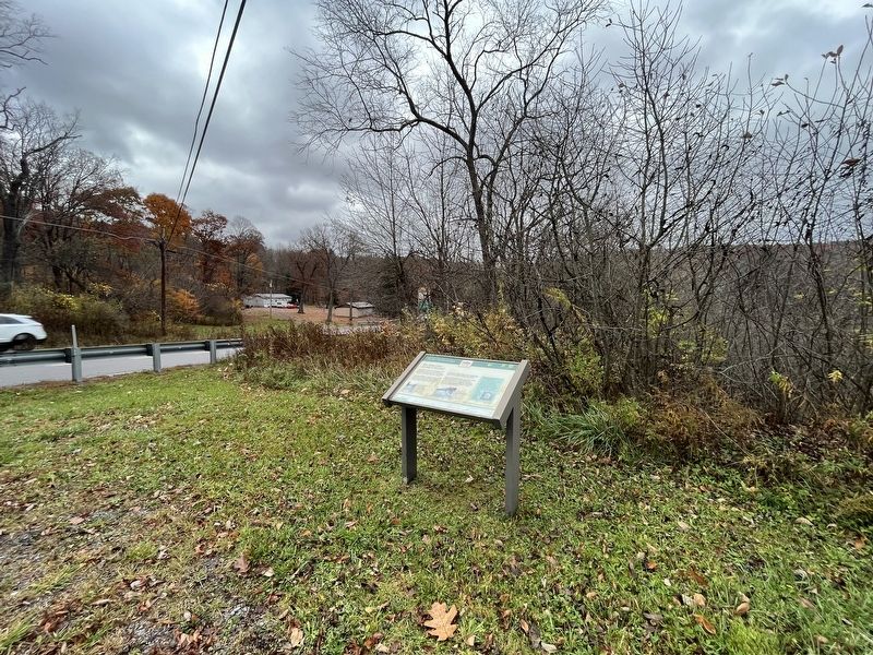
Location. 39° 43.273′ N, 79° 17.916′ W. Marker is near Grantsville, Maryland, in Garrett County. Marker is at the intersection of Pigs Ear Road and National Pike (U.S. 40), on the left when traveling south on Pigs Ear Road. Touch for map.
Other nearby markers. At least 8 other markers are within 3 miles of this marker, measured as the crow flies. National Road (approx. 0.3 miles away in Pennsylvania); Pennsylvania (approx. 0.3 miles away in Pennsylvania); Bear Camp (approx. 0.7 miles away); Toll House (approx. 2.4 miles away in Pennsylvania); Honor Roll (approx. 2.4 miles away in Pennsylvania); a different marker also named Honor Roll (approx. 2.6 miles away in Pennsylvania); The Old Petersburg Toll House (approx. 2.6 miles away in Pennsylvania); Washington-Braddock Road 1754-55 (approx. 2.6 miles away in Pennsylvania).
Credits. This page was last revised on October 29, 2023. It was originally submitted on October 29, 2023, by Devry Becker Jones of Washington, District of Columbia. This page has been viewed 61 times since then and 26 times this year. Photos: 1, 2. submitted on October 29, 2023, by Devry Becker Jones of Washington, District of Columbia.

