Middletown in Frederick County, Virginia — The American South (Mid-Atlantic)
Defense in the Cemetery
8:00 to 9:30 a.m.
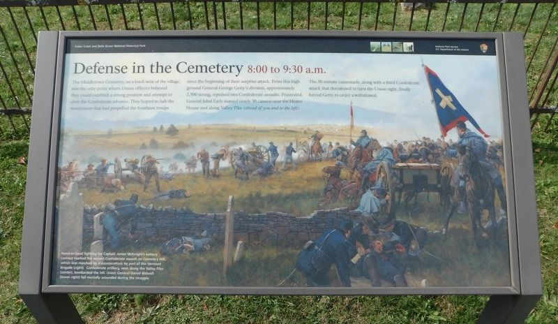
The Middletown Cemetery, on a knoll west of the village, was the only point where Union officers believed they could establish a strong position and attempt to slow the Confederate advance. They hoped to halt the momentum that had propelled the Southern troops since the beginning of their surprise attack. From this high ground General George Getty's division, approximately 2,500 strong, repulsed two Confederate assaults. Frustrated, General Jubal Early massed nearly 30 cannon near the Heater House and along Valley Pike (ahead of you and to the left).
The 30-minute cannonade, along with a third Confederate attack that threatened to turn the Union right, finally forced Getty to order a withdrawal.
(Caption):
Hand-to-hand fighting for Captain James McKnight's battery (center) marked the second Confederate assault on Cemetery Hill, which was repulsed by a counterattack by part of the Vermont Brigade (right). Confederate artillery, seen along the Valley Pike (center), bombarded the hill. Union General Daniel Bidwell (lower right) fell mortally wounded during the struggle.
Erected by National Park Service, U.S. Department of the Interior.
Topics. This historical marker is listed in these topic lists: Cemeteries & Burial Sites • War, US Civil.
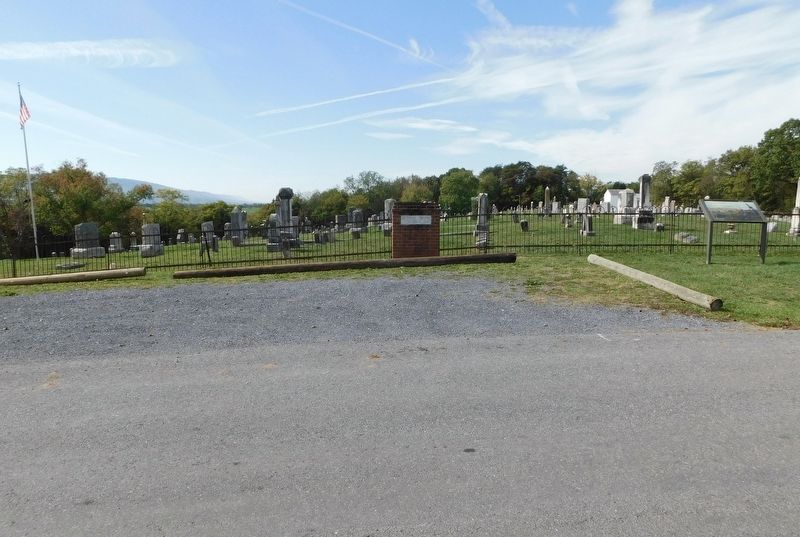
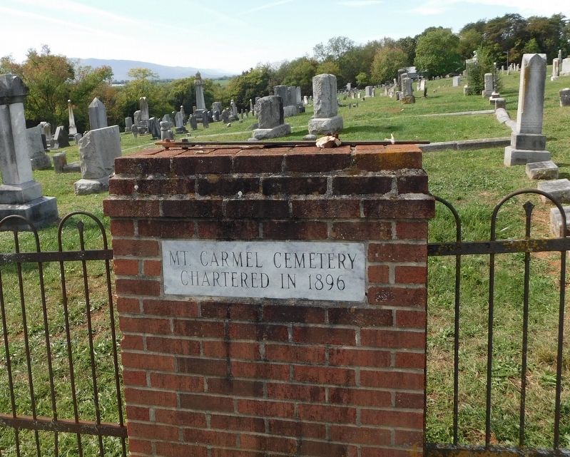
Location. 39° 1.943′ N, 78° 17.164′ W. Marker is in Middletown, Virginia, in Frederick County. Marker is on Third Street (Virginia Route 635) north of High Street (Virginia Route 635), on the right when traveling south. Marker is located at Tour Stop 6 on the Cedar Creek Battlefield Driving Tour. It is at the south entrance to Mount Carmel Cemetery. Touch for map. Marker is in this post office area: Middletown VA 22645, United States of America. Touch for directions.
Other nearby markers. At least 8 other markers are within walking distance of this marker. Middletown Virginia (approx. half a mile away); Old Stone Fort (approx. half a mile away); Colonel Charles Russell Lowell (approx. half a mile away); The Cauldron (approx. half a mile away); Engagement Of Middletown (approx. half a mile away); The Toll of War (approx. half a mile away); Middletown Veterans Memorial (approx. 0.6 miles away); The Shenandoah Valley / Battle of Cedar Creek, October 19, 1864 (approx. 0.6 miles away). Touch for a list and map of all markers in Middletown.
Credits. This page was last revised on October 31, 2023. It was originally submitted on October 30, 2023, by Bradley Owen of Morgantown, West Virginia. This page has been viewed 49 times since then and 14 times this year. Photos: 1, 2, 3. submitted on October 31, 2023, by Bradley Owen of Morgantown, West Virginia.


