Near Beverly in Randolph County, West Virginia — The American South (Appalachia)
Battle of Rich Mountain
Rich Mountain Battlefield
Topics. This historical marker is listed in this topic list: War, US Civil.
Location. 38° 51.959′ N, 79° 56.046′ W. Marker is near Beverly, West Virginia, in Randolph County. Marker is on Rich Mountain Road / Files Creek Road (County Route 37/8), on the right when traveling east. Located in the Rich Mountain Battlefield. Touch for map. Marker is in this post office area: Beverly WV 26253, United States of America. Touch for directions.
Other nearby markers. At least 8 other markers are within walking distance of this marker. Rich Mountain (within shouting distance of this marker); Welcome to Rich Mountain Battlefield (within shouting distance of this marker); The Stable Yard (within shouting distance of this marker); General William S. Rosecrans (within shouting distance of this marker); Battle Of Rich Mountain (within shouting distance of this marker); The Hart House (within shouting distance of this marker); Rich Mountain / Hart House (within shouting distance of this marker); Site of Old Hart House (about 300 feet away, measured in a direct line). Touch for a list and map of all markers in Beverly.
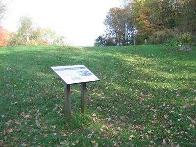
More about this marker. In the upper right is a drawing depicting the Battle of Rich Mountain, July 11, 1861. On the lower left is a newspaper headline with the caption, General McClellan's electrifying telegrams of victory made him a star - the North's first battlefield hero, leading to his appointment as commander of all Union armies.
Also see . . . The Battle of Rich Mountain. An overview of the battlefield. (Submitted on October 22, 2009, by Craig Swain of Leesburg, Virginia.)

Photographed By Craig Swain, October 11, 2009
3. Rich Mountain Battlefield
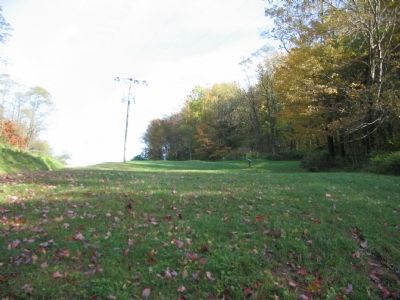
The path of the Staunton-Parkersburg Turnpike passes on the left of this view. After flanking Confederate positions by a flank march to the south, forces led by General Rosecrans attacked near this point, overtaking the Confederate rear guard.
Credits. This page was last revised on July 18, 2018. It was originally submitted on October 22, 2009, by Craig Swain of Leesburg, Virginia. This page has been viewed 2,294 times since then and 55 times this year. Photos: 1, 2, 3. submitted on October 22, 2009, by Craig Swain of Leesburg, Virginia.

