Death Valley National Park in Inyo County, California — The American West (Pacific Coastal)
The Racetrack Playa
Death Valley National Park
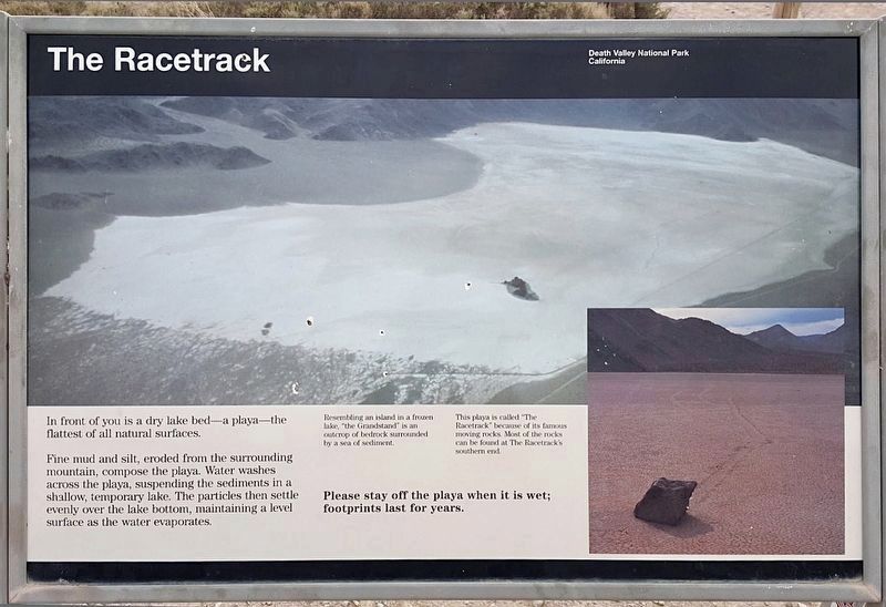
In front of you is a dry lake bed - a playa - the flattest of all natural surfaces.
Fine mud and silt, eroded from the surrounding mountain, compose the playa. Water washes across the playa, suspending the sediments in a shallow, temporary lake. The particles then settle evenly over the lake bottom, maintaining a level surface as the water evaporates.
Resembling an island in a frozen lake, the Grandstand is an outcrop of bedrock surrounded by a sea of sediment.
This playa is called "The Racetrack" because of its famous moving rocks. Most of the rocks can be found at The Racetrack's southern end.
Please stay off the playa when it is wet; footprints last for years.
Moving Rocks
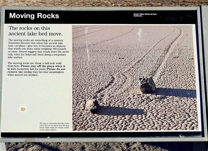
The rocks on this ancient lake bed move.
The moving rocks are something of a mystery. Scientists theorize that when this ancient lake bed - or playa - gets wet, it becomes so slippery that winds can move rocks weighing 100 pounds or more. Others suggest that winds move the rocks only when ice helps raft them along a temporary lake surface.
The moving rocks are about a half-mile walk from here. Please stay off the playa when it is wet; footprints last for years. Please do not remove the rocks; they become meaningless when moved out-of-place.
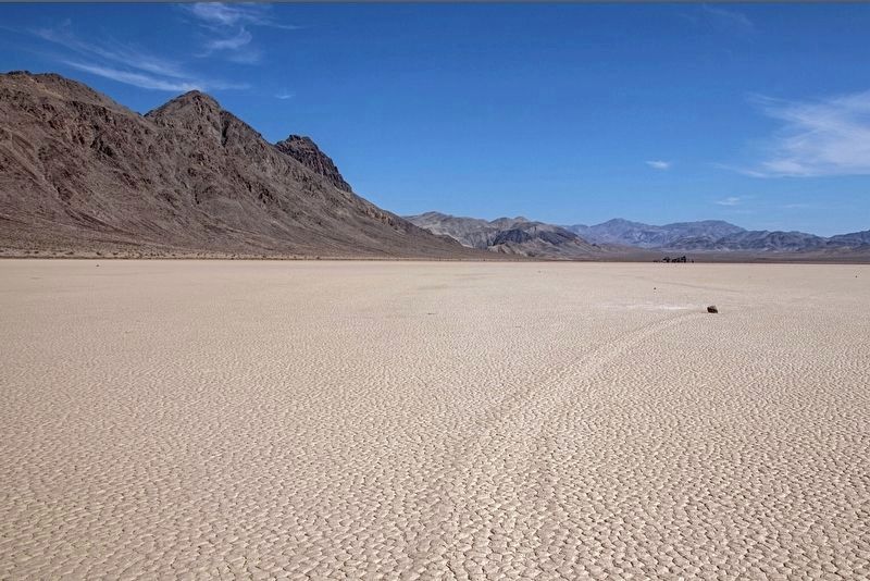
We may be uncertain how the rocks move, but we do know how far they travel. Their trails are clearly visible on the playa sarface.
Erected by Death Valley National Park.
Topics and series. This historical marker is listed in these topic lists: Natural Features • Notable Places • Parks & Recreational Areas. In addition, it is included in the Believe It or Not series list.
Location. 36° 41.662′ N, 117° 34.288′ W. Marker is in Death Valley National Park, California, in Inyo County. Marker is on Racetrack Valley Road, 26 miles south of Ubehebe Crater, on the left when traveling south. Touch for map. Marker is in this post office area: Death Valley CA 92328, United States of America. Touch for directions.
More about this marker. The 26-mile-long dirt road might be impassible after rain or snow. High ground clearance vehicle recommended. Avoid traveling in remote areas during severe weather.
To see the moving rocks, drive to the south end of the dry lake, then walk ˝-mile to the eastern edge.
Related marker. Click here for another marker that is related to this marker. Ubehebe Crater — The nearest marker, and the nearest paved road, is 26 miles away.
Also see . . . The Racetrack. Death Valley National Park website has recommendations for visitors; road closure notices; and new information about how rocks move. (Submitted on November 4, 2023.)
Credits. This page was last revised on December 9, 2023. It was originally submitted on November 4, 2023. This page has been viewed 55 times since then and 10 times this year. Photos: 1, 2, 3, 4. submitted on November 4, 2023, by Craig Baker of Sylmar, California.


