Ventura in Ventura County, California — The American West (Pacific Coastal)
Cemetery Memorial Park
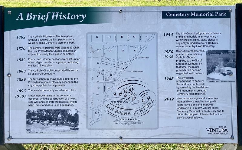
A Brief History
1862: The Catholic Diocese of Monterey-Los Angeles acquired the first parcel of what would become Cemetery Memorial Park.
1870: The cemetery grounds were expanded when the First Presbyterian Church acquired an adjacent property for a public cemetery.
1882: Formal and informal sections were set up for other religious and ethnic groups, including one for Chinese plots.
1883: The Catholic Church consecrated its sector as St. Mary's Cemetery.
1889: The City of San Buenaventura acquired the Presbyterian parcel, officially becoming the city's only public burial grounds.
1895: The Jewish community was deeded plots.
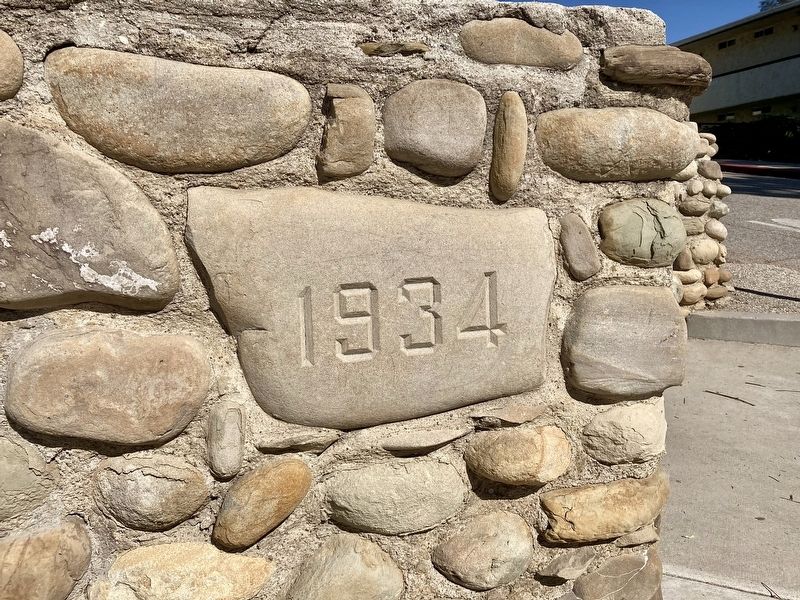
1930s: Major improvements to the cemetery occurred, with the construction of a river rock wall and concrete staircases along its Main Street and Aliso Lane boundaries.
1944: The City Council adopted an ordinance prohibiting burials in any cemetery within the city limits. Many pioneers originally buried here were gradually re-interred at Ivy Lawn Cemetery.
1950-1965: Deeds from 1950 to 1965 granted the remaining Catholic Church property to the City of San Buenaventura. By that time, the burial grounds had become neglected and rundown.
1965: The city began preparations to convert the land to a public park by removing the headstones and monuments, creating Cemetery Memorial Park.
2012: New entrance signs and a Veterans Memorial were installed along with interpretive signs, and improved landscaping to inform visitors about Cemetery Memorial Park's history and to honor the people still buried below the park's sweeping lawns.
Erected 2012 by City of Ventura Parks and Recreation.
Topics. This historical marker is listed in these topic lists: Cemeteries & Burial Sites • Parks & Recreational Areas. A significant historical year for this entry is 1862.
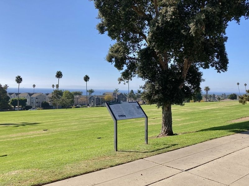
Location. 34° 16.891′ N, 119° 16.745′ W. Marker is in Ventura, California, in Ventura County. Marker is at the intersection of Poli Street and Aliso Lane, on the right when traveling east on Poli Street. Touch for map. Marker is in this post office area: Ventura CA 93001, United States of America. Touch for directions.
Other nearby markers. At least 8 other markers are within walking distance of this marker. Veterans Memorial (within shouting distance of this marker); Ventura’s Diverse Inhabitants (about 400 feet away, measured in a direct line); a different marker also named Ventura’s Diverse Inhabitants (about 500 feet away); Southern Methodist Episcopal Church (approx. half a mile away); Nellie Clover House (approx. half a mile away); The A.D. Briggs Residence (approx. half a mile away); Site of the Mayfair Theater, 1941-2000 (approx. 0.6 miles away); Sifford House (approx. 0.6 miles away). Touch for a list and map of all markers in Ventura.
Regarding Cemetery Memorial Park. Some grave sites have markers, including Medal of Honor recipients. Additional interpretive signs along Poli Street honor prominent individuals interred here and describe their place in Ventura’s history.
Credits. This page was last revised on November 14, 2023. It was originally submitted on November 5, 2023, by Craig Baker of Sylmar, California. This page has been viewed 79 times since then and 37 times this year. Photos: 1, 2, 3. submitted on November 5, 2023, by Craig Baker of Sylmar, California.


