Near Crawford in Dawes County, Nebraska — The American Midwest (Upper Plains)
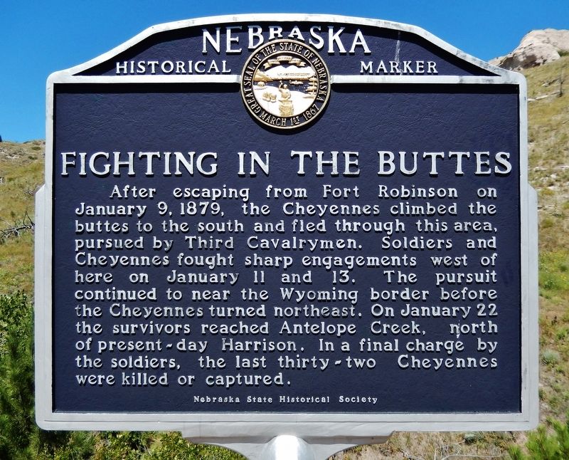
Fighting in the Buttes
After escaping from Fort Robinson on January 9, 1879, the Cheyennes climbed the buttes to the south and fled through this area, pursued by Third Cavalrymen. Soldiers and Cheyennes fought sharp engagements west of here on January 11 and 13. The pursuit continued to near the Wyoming border before the Cheyennes turned northeast. On January 22 the survivors reached Antelope Creek, north of present-day Harrison. In a final charge by the soldiers, the last thirty-two Cheyennes were killed or captured.
Erected by Nebraska State Historical Society. (Marker Number 426.)
Topics and series. This historical marker is listed in these topic lists: Forts and Castles • Native Americans • Wars, US Indian. In addition, it is included in the Nebraska State Historical Society series list. A significant historical date for this entry is January 9, 1879.
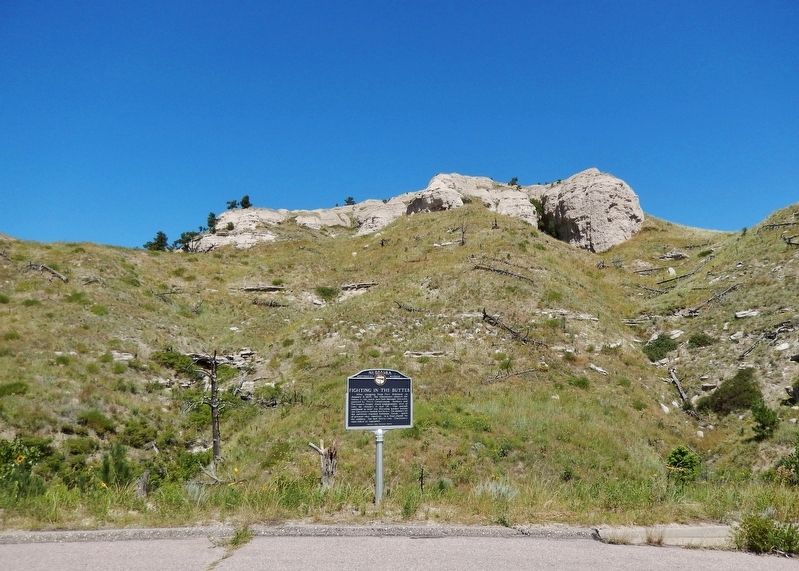
Location. 42° 39.913′ N, 103° 31.511′ W. Marker is near Crawford, Nebraska, in Dawes County. Marker is on Old Smiley Scenic Road/Smiley Canyon Scenic Drive, 3 miles west of Bridges to Buttes Byway (U.S. 20), on the right when traveling west. The marker is located in a pull-out on the north side of Old Smiley Scenic Road. Touch for map. Marker is in this post office area: Harrison NE 69346, United States of America. Touch for directions.
Other nearby markers. At least 8 other markers are within 3 miles of this marker, measured as the crow flies. The Cheyenne Outbreak (approx. 1.7 miles away); Buffalo Soldiers at Fort Robinson (approx. 2.7 miles away); Officers’ Row, 1909 (approx. 2.8 miles away); Bison: Behemoths of the Plains (approx. 2.8 miles away); 1887 Barracks Row (approx. 2.9 miles away); Flagstaff, 1890 (approx. 3 miles away); Ft. Robinson (approx. 3 miles away); Post Headquarters, 1905 (approx. 3 miles away). Touch for a list and map of all markers in Crawford.
Related markers. Click here for a list of markers that are related to this marker.
Also see . . .
1. Fort Robinson Breakout (Wikipedia). Excerpt:
In January 1879, after the Cheyenne had refused an earlier order to return to the south, the soldiers began to treat them harshly to try to force them south. They were confined to a barracks without food, water, or wood for heat. Most of the band escaped the barracks on January 9, but the US Army hunted them down. The Cheyenne were poorly armed and outnumbered by 175 soldiers pursuing them. On January 22, the army surrounded and killed most of the last 37 escapees. In total, the army recaptured about 70 of the Cheyenne and killed about 60.(Submitted on November 9, 2023, by Cosmos Mariner of Cape Canaveral, Florida.)
2. Fort Robinson Massacre.
Excerpt:
Of the 78 Northern Cheyenne who were recaptured and returned to Fort Robinson, seven who were suspected of committing, permitting, or instigating the depredations upon civilians in Kansas the previous year, were taken first to Fort Leavenworth, Kansas, then to Dodge City for trial. These included Cheyenne men Wild Hog, Tangle Hair, Strong Left Hand, Old Crow, Porcupine, Noisy Walker, and Blacksmith. Including their families, 20 Indians traveled south in February. They were finally tried in Ford and Douglas Counties, but the evidence was insufficient to convict, and in October 1879, the Indians were released by order of Judge Stephens of Lawrence, Kansas.(Submitted on November 9, 2023, by Cosmos Mariner of Cape Canaveral, Florida.)
Credits. This page was last revised on November 9, 2023. It was originally submitted on November 9, 2023, by Cosmos Mariner of Cape Canaveral, Florida. This page has been viewed 65 times since then and 27 times this year. Photos: 1, 2. submitted on November 9, 2023, by Cosmos Mariner of Cape Canaveral, Florida.

