Ventura in Ventura County, California — The American West (Pacific Coastal)
A Brief History of California State Parks
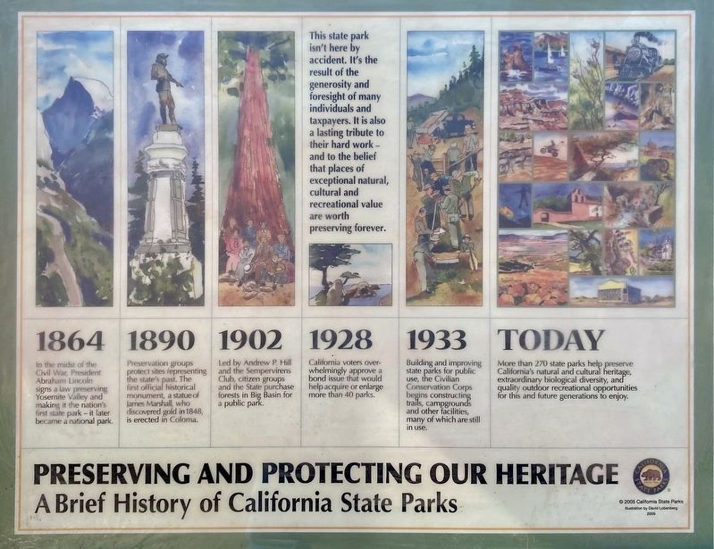
Preserving and Protecting our Heritage
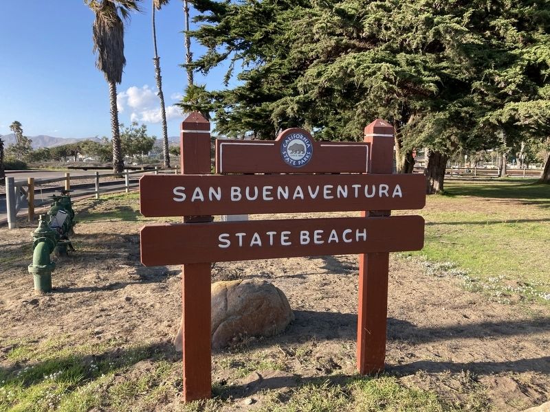
— San Buenaventura State Beach —
1864
In the midst of the Civil War, President Abraham Lincoln signs a law preserving Yosemite Valley and making it the nation's first state park - it later became a national park.
1890
Preservation groups protect sites representing the state's past. The first official historical monument, a statue of James Marshall, who discovered gold in 1848, is erected in Coloma.
1902
Led by Andrew P. Hill and the Sempervirens Club, citizen groups and the State purchase forests in Big Basin for a public park.
1928
California voters overwhelmingly approve a bond issue that would help acquire or enlarge more than 40 parks.
1933
Building and improving state parks for public use, the Civilian Conservation Corps begins constructing trails, campgrounds and other facilities, many of which are still in use.
Today
More than 270 state parks help preserve California's natural and cultural heritage, extraordinary biological diversity, and quality outdoor recreational opportunities for this and future generations to enjoy.
This state park isn't here by accident. It's the result of the generosity and foresight of many individuals and taxpayers. It is also a lasting tribute to their hard work - and to the belief that places of exceptional natural, cultural and recreational value are worth preserving forever.
Erected 2005 by California State Parks.
Topics. This historical marker is listed in these topic lists: Natural Features • Parks & Recreational Areas.
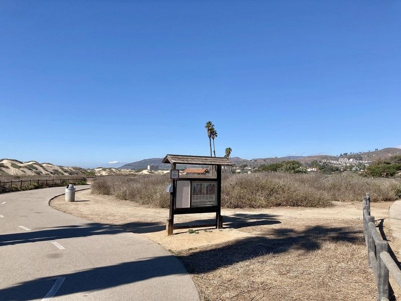
Location. 34° 16.092′ N, 119° 16.643′ W. Marker is in Ventura, California, in Ventura County. Marker can be reached from the intersection of San Pedro Street and Pierpoint Boulevard. Located at the beginning of the Ventura Beach Bike Trail in San Buenaventura State Beach. Touch for map. Marker is at or near this postal address: 900 San Pedro St, Ventura CA 93001, United States of America. Touch for directions.
Other nearby markers. At least 8 other markers are within walking distance of this marker. The A.D. Briggs Residence (approx. 0.9 miles away); The Hobart/Barr/Lucking Initial Residence c. 1898 (approx. 0.9 miles away); Ventura Pier (approx. 0.9 miles away); The Hobart/Barr/Lucking Residence (approx. 0.9 miles away); Cemetery Memorial Park (approx. 0.9 miles away); Veterans Memorial (approx. 0.9 miles away); Ventura’s Diverse Inhabitants (approx. one mile away); Sifford House (approx. one mile away). Touch for a list and map of all markers in Ventura.
Credits. This page was last revised on November 10, 2023. It was originally submitted on November 10, 2023, by Craig Baker of Sylmar, California. This page has been viewed 41 times since then and 8 times this year. Photos: 1, 2, 3. submitted on November 10, 2023, by Craig Baker of Sylmar, California.


