Rock Creek Park in Northwest Washington in Washington, District of Columbia — The American Northeast (Mid-Atlantic)
Fort De Russy
Civil War Defenses of Washington
| — | 1861-1865 | — |
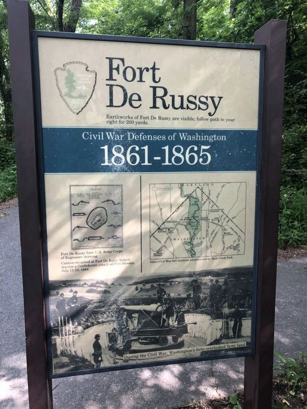
Earthworks of Fort De Russy are visible; follow path to your right for 200 yards.
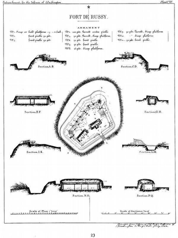
[drawing of fort]
Fort De Russy from U.S. Army Corps of Engineers drawing.
Cannon mounted at Fort De Russy helped repulse a Confederate attack on Fort Stevens, July 11-12, 1864.
[map of northern DC]
Other Civil War fort locations administered by Rock Creek Park.
[picture of unnamed fort]
During the Civil War, Washington's forts overlooked farm land.
Erected by National Park Service, U.S. Department of the Interior.
Topics and series. This historical marker is listed in these topic lists: Forts and Castles • War, US Civil. In addition, it is included in the Defenses of Washington series list. A significant historical date for this entry is July 30, 1864.
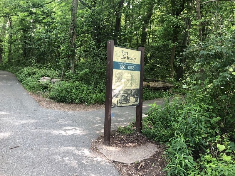
Location. 38° 57.744′ N, 77° 3.159′ W. Marker is in Northwest Washington in Washington, District of Columbia. It is in Rock Creek Park. It is on Oregon Avenue Northwest north of Military Road Northwest, on the right when traveling north. Marker is on a paved park trail that runs alongside Oregon Avenue, about 250 feet north of Military Road. Touch for map. Marker is at or near
this page online

Regionally, this marker is in the Washington Metropolitan Area. It is also in the American Northeast, in the Upper South, in the Mid-Atlantic, in the Tidewater, and in the Chesapeake Bay Region. Globally, it is in North America, the Western Hemisphere, the Western World, and the Anglosphere.
Other nearby markers. At least 8 other markers are within walking distance of this marker: Fort DeRussy (about 600 feet away, measured in a direct line); a different marker also named Fort DeRussy (about 600 feet away); A Garden Protecting Rock Creek (approx. 0.2 miles away); Herring Highway (approx. 0.3 miles away); Tupelo Tree (approx. 0.4 miles away); Dr. Vera Rubin (approx. 0.7 miles away); Segregated by Design (approx. 0.8 miles away); Broad Branch Market (approx. 0.9 miles away). Touch for a list and map of all markers in Northwest Washington.
Also see . . . René Edward De Russy. (Submitted on March 13, 2011, by Richard E. Miller of Oxon Hill, Maryland.)
Photographed by F. Robby, July 9, 2009
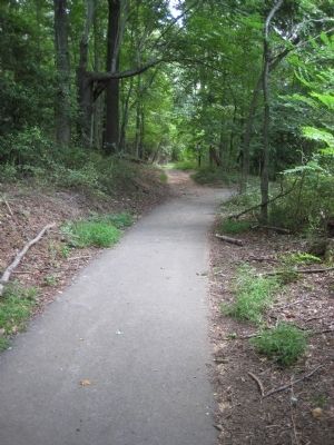
3. Trail to the Fort
The unpaved trail to the fort departs on the left from the paved Rock Creek path to the right.
Photographed by F. Robby, July 9, 2009
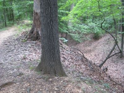
4. Fort De Russy Trenches
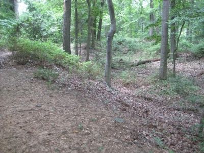
Trenches to the right are on the outside of the fort wall.
Photographed by F. Robby, July 9, 2009
5. Fort Interior
The fort walls circle in this photo from bottom left to upper right.
Photographed by National Park Service
6. Fort De Russy
U. S. Army Corps of Engineers Drawing
U. S. Army Corps of Engineers Drawing
Cannon mounted at Fort De Russy helped repulse a Confederate attack on Fort Stevens July 11-12, 1864. (Image appears in Stanley McClure, The Defenses of Washington, 1961 reprint.)
Library of Congress
7. Gustavus A. DeRussy
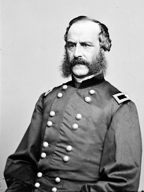
“Fort DeRussy was named for Colonel Gustavus A. DeRussy, whose 4th New York Heavy Artillery provided construction details to build the work.” – Cooling and Owen, 1988.
Photographed by Wikipedia
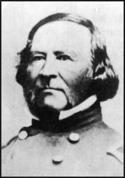
8. BGen René Edward De Russy.
Credits. This page was last revised on November 24, 2023. It was originally submitted on July 14, 2009, by F. Robby of Baltimore, Maryland. This page has been viewed 2,387 times since then and 43 times this year. Last updated on November 10, 2023, by Allen C. Browne of Silver Spring, Maryland. Photos: 1, 2. submitted on May 26, 2020, by Devry Becker Jones of Washington, District of Columbia. 3, 4, 5. submitted on July 14, 2009, by F. Robby of Baltimore, Maryland. 6. submitted on November 10, 2023, by Allen C. Browne of Silver Spring, Maryland. 7. submitted on November 8, 2023, by Allen C. Browne of Silver Spring, Maryland. 8. submitted on March 13, 2011, by Richard E. Miller of Oxon Hill, Maryland. • J. Makali Bruton was the editor who published this page.
