Gordon in Sheridan County, Nebraska — The American Midwest (Upper Plains)
Lone Willow
Photographed by Cosmos Mariner, August 15, 2023
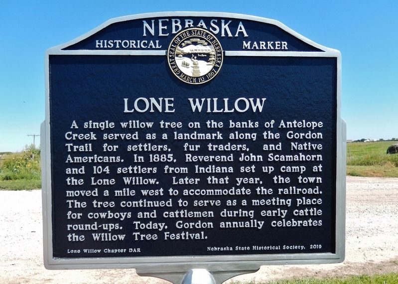
1. Lone Willow Marker
A single willow tree on the banks of Antelope Creek served as a landmark along the Gordon Trail for settlers, fur traders, and Native Americans. In 1885, Reverend John Scamahorn and 104 settlers from Indiana set up camp at the Lone Willow. Later that year, the town moved a mile west to accommodate the railroad. The tree continued to serve as a meeting place for cowboys and cattlemen during early cattle round-ups. Today, Gordon annually celebrates the Willow Tree Festival.
Erected 2019 by Lone Willow Chapter, Daughters of the American Revolution; Nebraska State Historical Society. (Marker Number 565.)
Topics and series. This historical marker is listed in these topic lists: Indigenous Peoples and Communities • Roads & Vehicles • Settlements & Settlers. In addition, it is included in the Daughters of the American Revolution (DAR), and the Nebraska State Historical Society series lists. A significant historical year for this entry is 1885.
Location. 42° 48.437′ N, 102° 11.022′ W. Marker is in Gordon, Nebraska, in Sheridan County. It is on 190th Lane half a mile north of Bridges to Buttes Byway (U.S. 20), on the
this page online

Regionally, this marker is in the Nebraska Panhandle. It is also in the American Midwest, in the Corn Belt, on the prairies, on the Great Plains, on the Northern Plains, and specifically on the High Plains. Globally, it is in North America, the Western Hemisphere, the Western World, and the Anglosphere. Historically, it finds itself in what was once the Louisiana Purchase.
Other nearby markers. At least one other marker is within 9 miles of this marker, measured as the crow flies: Opening the Sandhills (approx. 8.7 miles away).
Also see . . . Lone Willow. Sheridan County website entry:
Excerpt:
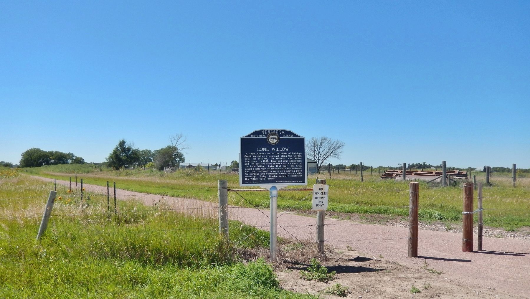
Judge Tucker, U.S. Commissioner at Valentine, convinced the Rev. John Scamahorn of Sullivan, Indiana, that northwest Nebraska was “a paradise for agriculture development” while in attendance at the Louisville Exposition in 1882. The next year, Scamahorn and a few friends came out to look it over. He returned home and organized a colony. In the winter of 1884, he and 104 sturdy(Submitted on November 10, 2023, by Cosmos Mariner of Cape Canaveral, Florida.)folks journeyed to rail’s end at Valentine, then on west by means of ox drawn wagons. They set up their tents beside the “Lone Willow”, the only tree of any size in the area, near the present site of Gordon.Photographed by Cosmos Mariner, August 15, 20232. Lone Willow MarkerLooking northwest from 190th Lane. Nebraska's Cowboy Trail (rails-to-trails) in background.
Credits. This page was last revised on February 27, 2025. It was originally submitted on November 10, 2023, by Cosmos Mariner of Cape Canaveral, Florida. This page has been viewed 402 times since then and 51 times this year. Photos: 1, 2. submitted on November 10, 2023, by Cosmos Mariner of Cape Canaveral, Florida.
