Shockoe Slip in Richmond, Virginia — The American South (Mid-Atlantic)
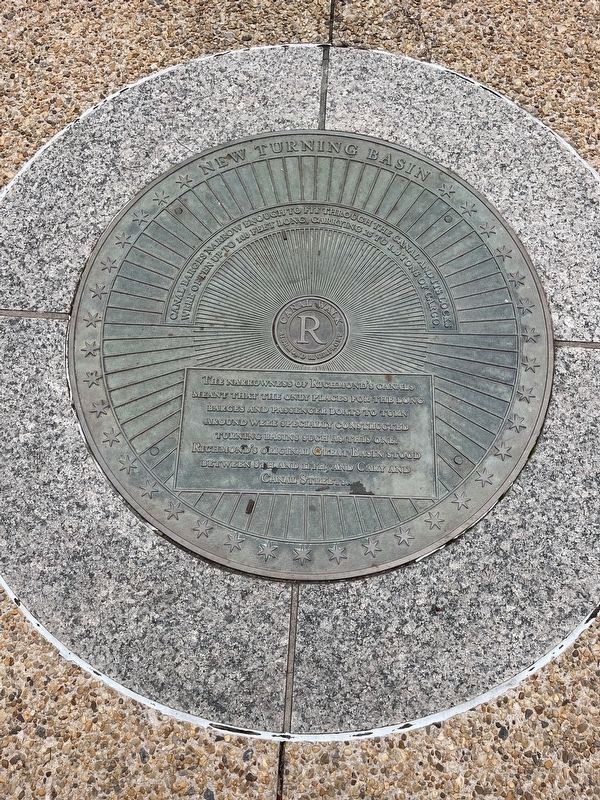
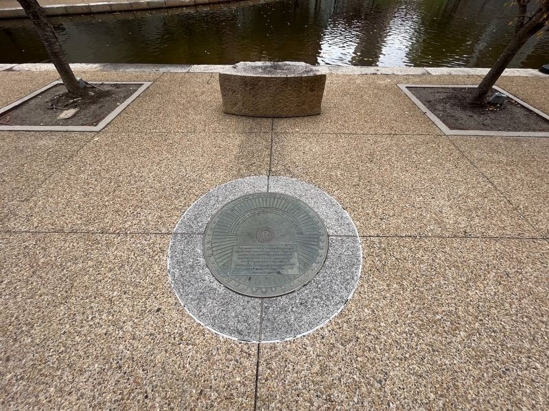
New Turning Basin
Canal Walk
— Richmond Riverfront —
Canal barges narrow enough to fit through the canal and its locks were often up to 100 feet long, carrying 25 to 100 tons of cargo
The narrowness of Richmond's canals meant that the only places for the long barges and passenger boats to turn around were specially constructed turning basins such as this one. Richmond's original Great Basin stood between 8th and 11th, and Cary and Canal Streets.
Topics. This historical marker is listed in these topic lists: Industry & Commerce • Waterways & Vessels.
Location. 37° 31.987′ N, 77° 26.01′ W. Marker is in Richmond, Virginia. It is in Shockoe Slip. Marker can be reached from Virginia Street north of East Byrd Street, on the right when traveling north. Touch for map. Marker is at or near this postal address: 301 Virginia St, Richmond VA 23219, United States of America. Touch for directions.
Other nearby markers. At least 8 other markers are within walking distance of this marker. James River Bateaumen (a few steps from this marker); James River & Kanawha Canal (a few steps from this marker); Atlantic Sturgeon (within shouting distance of this marker); Use of Arms (within shouting distance of this marker); Canal Walk / Historic Canals (within shouting distance of this marker); Burnt District (within shouting distance of this marker); George Washington’s Vision (within shouting distance of this marker); Tobacco District (within shouting distance of this marker). Touch for a list and map of all markers in Richmond.
Credits. This page was last revised on November 11, 2023. It was originally submitted on November 10, 2023, by Devry Becker Jones of Washington, District of Columbia. This page has been viewed 57 times since then and 23 times this year. Photos: 1, 2. submitted on November 10, 2023, by Devry Becker Jones of Washington, District of Columbia.

