
Pittsfield Township near Ann Arbor in Washtenaw County, Michigan — The American Midwest (Great Lakes)
Pump House
Photographed by Joel Seewald, April 25, 2017
1. Pump House Marker
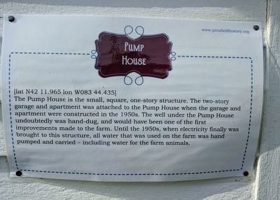
[lat N42 11.965 lon W083 44.435]
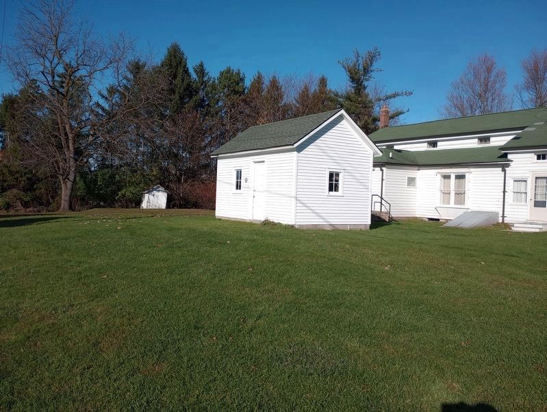
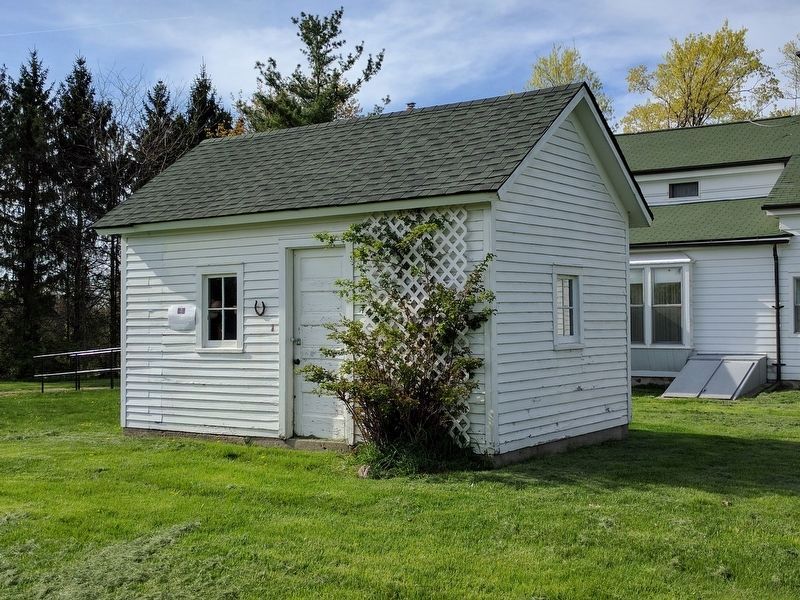
The Pump House is the small, square, one-story structure. The two-story garage and apartment was attached to the Pump House when the garage and apartment were constructed in the 1950s. The well under the Pump House undoubtedly was hand-dug, and would have been one of the first improvements made to the farm. Until the 1950s, when electricity finally was brought to this structure, all water that was used on the farm was hand pumped and carried — including water for the farm animals.
Erected by Pittsfield Township Historical Society.
Topics. This historical marker is listed in this topic list: Agriculture.
Location. Marker has been reported missing. It was located near 42° 11.963′ N, 83° 44.44′ W. Marker was near Ann Arbor, Michigan, in Washtenaw County. It was in Pittsfield Township. It could be reached from West Textile Road 0.4 miles west of South State Road, on the left when traveling west. The marker is behind the Sutherland-Wilson farmhouse. Touch for map. Marker was at or near this postal address: 797 Textile Road, Ann Arbor
this page online

Regionally, this marker was in Southeast Michigan and in Greater Detroit. It was also in the American Midwest. Globally, it was in North America, the Western Hemisphere, the Western World, and the Anglosphere. Historically, it found itself in what was once the Northwest Territory.
Other nearby markers. At least 8 other markers are within 3 miles of this location, measured as the crow flies: A different marker also named Wood Shed (within shouting distance of this marker); LeClair Barn (within shouting distance of this marker); Upper Level of the Barn (within shouting distance of this marker); Hog House (within shouting distance of this marker); Sutherland - Wilson Farm (within shouting distance of this marker); Lower Level of the Barn (within shouting distance of this marker); An Early Township Blacksmith (approx. 2.4 miles away); Davenport House (approx. 2.7 miles away). Touch for a list and map of all markers in Ann Arbor.
Other markers no longer nearby. Ice House (was a few steps from this marker but has been confirmed missing); Wood Shed (was a few steps
Photographed by Craig Doda, November 11, 2023
2. Pump House Marker Missing
Photographed by Joel Seewald, April 25, 2017
3. Pump House and Marker
View from the south. The Sutherland-Wilson farmhouse is in the background.
Credits. This page was last revised on November 30, 2023. It was originally submitted on April 27, 2017, by Joel Seewald of Madison Heights, Michigan. This page has been viewed 507 times since then and 13 times this year. Last updated on November 13, 2023, by Craig Doda of Napoleon, Ohio. Photos: 1. submitted on April 27, 2017, by Joel Seewald of Madison Heights, Michigan. 2. submitted on November 13, 2023, by Craig Doda of Napoleon, Ohio. 3. submitted on April 27, 2017, by Joel Seewald of Madison Heights, Michigan. • J. Makali Bruton was the editor who published this page.
