Central Vancouver in Metro Vancouver, British Columbia — Canada’s West Coast (North America)
Three English Greenhorns

Photographed by Adam Margolis, October 10, 2023
1. This Sundial Marker
Topics. This historical marker is listed in these topic lists: Industry & Commerce • Parks & Recreational Areas • Settlements & Settlers. A significant historical year for this entry is 1862.
Location. 49° 17.241′ N, 123° 8.561′ W. Marker is in Vancouver, British Columbia, in Metro Vancouver. It is in Central Vancouver. It can be reached from Denman Street, on the right. Touch for map. Marker is in this post office area: Vancouver BC V6E 1V3, Canada. Touch for directions.

Regionally, this marker is on the Lower Mainland and in Coast & Mountains. Globally, it is in North America, in the Cascade Range, in the Inside Passage, on the Ring of Fire, on the Pacific Rim, in the Western Hemisphere, in the Western World, and in the Anglosphere. Historically, it finds itself in what was once
this page online
Other nearby markers. At least 8 other markers are within walking distance of this marker: Inukshuk (approx. 0.4 kilometers away); Thomas Fee House (approx. 0.6 kilometers away); Roedde House (approx. 0.8 kilometers away); St. Paul's Anglican Episcopal Church (approx. 0.8 kilometers away); Before the Lagoon Was Lost (approx. 0.9 kilometers away); From Coal Seams to Park (approx. 0.9 kilometers away); First West Vancouver Ferry (approx. one kilometer away); First Known AIDS Memorial (approx. one kilometer away). Touch for a list and map of all markers in Vancouver.
More about this marker. The marker is in Stanley Park.
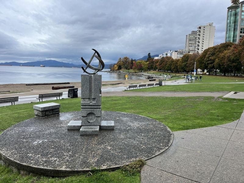
Photographed by Adam Margolis, October 10, 2023
2. This Sundial Marker
Marker can be seen towards the left of the sundial.
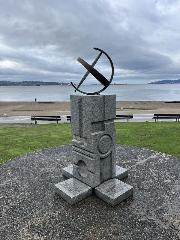
Photographed by Adam Margolis, October 10, 2023
3. This Sundial Marker

Photographed by Adam Margolis, October 10, 2023
4. This Sundial Marker

Photographed by Adam Margolis, October 10, 2023
5. This Sundial Marker
Dedication marker at base of sundial.

Photographed by Adam Margolis, October 10, 2023
6. This Sundial Marker
Dedication marker at base of sundial.
Credits. This page was last revised on November 23, 2023. It was originally submitted on November 18, 2023, by Adam Margolis of Mission Viejo, California. This page has been viewed 211 times since then and 27 times this year. Photos: 1, 2, 3, 4, 5, 6. submitted on November 18, 2023, by Adam Margolis of Mission Viejo, California. • Andrew Ruppenstein was the editor who published this page.
