Spencer Township near Spencerville in Allen County, Ohio — The American Midwest (Great Lakes)
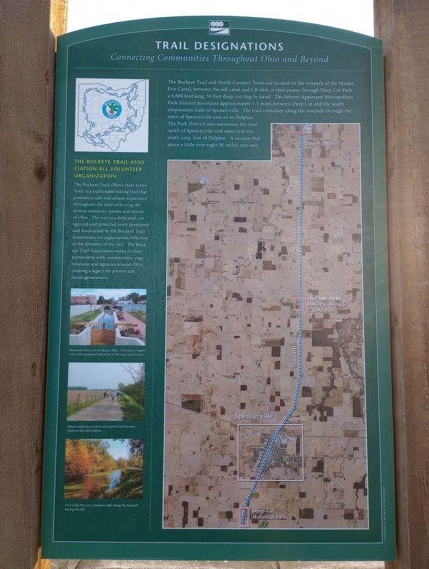
Trail Designations
Connecting Communities Throughout Ohio and Beyond
The Buckeye Trail and North Country Trails are located on the towpath of the Miami- Erie Canal, between the old canal and CR-66A, it then passes through Deep Cut Park, a 6,600 foot long, 50 foot deep, cut dug by hand. The Johnny Appleseed Metropolitan Park District maintains approximately 1.5 miles between Deep Cut and the south corporation limit of Spencerville. The trail continues along the towpath through the town of Spencerville and on to Delphos.
The Park District also maintains the trail north of Spencerville and takes it to the south corp. line of Delphos. A section that spans a little over eight (8) miles, one-way.
The Buckeye Trail Association All Volunteer Organization
The Buckeye Trail, Ohio's State Scenic Trail, is a sustainable hiking trail that provides a safe and unique experience throughout the state reflecting the diverse resources, people and stories of Ohio. The trail is a dedicated, recognized and protected route developed and maintained by the Buckeye Trail Association, an organization reflective of the diversity of the trail. The Buckeye Trail Association works in close partnership with communities, organizations and agencies around Ohio creating a legacy for present and future generations.
Erected by Johnny Appleseed Metropolitan Park District.
Topics. This historical marker is listed in these topic lists: Industry & Commerce • Parks & Recreational Areas • Waterways & Vessels.
Location. 40° 45.784′ N, 84° 20.42′ W. Marker is near Spencerville, Ohio, in Allen County. It is in Spencer Township. Marker is on Miami-Erie Canal Walkway/Bike Path south of Zion Church Road, on the right when traveling south. Touch for map. Marker is at or near this postal address: 12325 Zion Church Rd, Spencerville OH 45887, United States of America. Touch for directions.
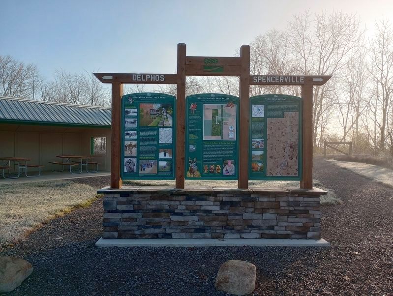
Other nearby markers. At least 8 other markers are within 4 miles of this marker, measured as the crow flies. Recreation Along The Canal (here, next to this marker); Robert K. Antibus Trail Access (a few steps from this marker); Where do Prairies come from? (approx. 1.7 miles away); Welcome to Kiracofe Prairie! (approx. 1.7 miles away); Cultural History of the Prairie (approx. 1.7 miles away); Hartford Cemetery Veterans Memorial (approx. 2.1 miles away); American Civil War (approx. 3.6 miles away); Spencerville Athletic Booster Veterans Memorial (approx. 3.6 miles away). Touch for a list and map of all markers in Spencerville.
Credits. This page was last revised on November 29, 2023. It was originally submitted on November 19, 2023, by Craig Doda of Napoleon, Ohio. This page has been viewed 51 times since then and 8 times this year. Photos: 1, 2. submitted on November 19, 2023, by Craig Doda of Napoleon, Ohio. • Devry Becker Jones was the editor who published this page.

