Bloomfield/Allen in Des Moines in Polk County, Iowa — The American Midwest (Upper Plains)
Owen's Covered Bridge
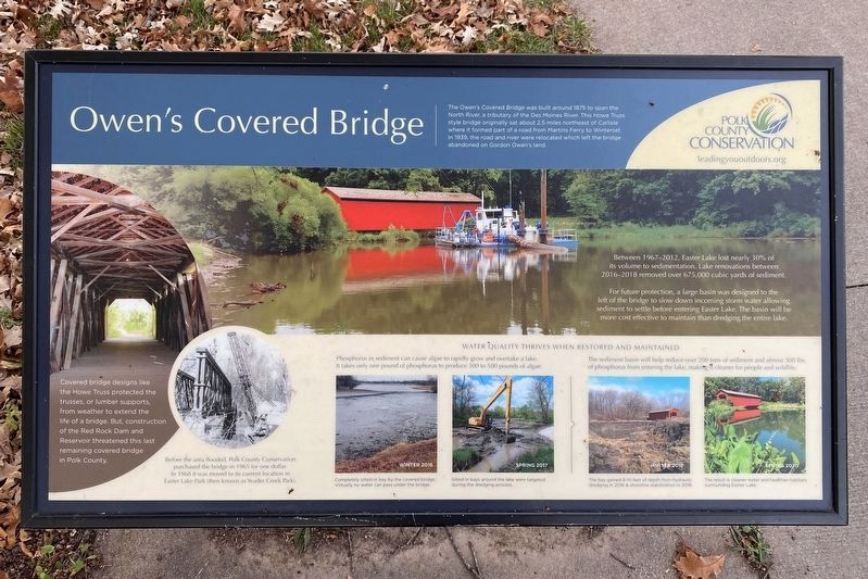
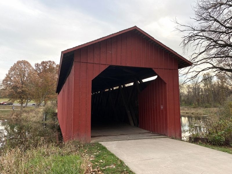
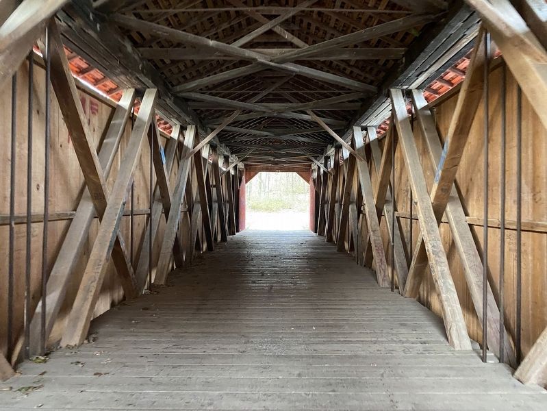
Covered bridge designs like the Howe Truss protected the trusses, or lumber supports, from weather to extend the life of a bridge. But, construction of the Red Rock Dam and Reservoir threatened this last remaining covered bridge in Polk County.
Before the area flooded, Polk County Conservation purchased the bridge in 1965 for one dollar. In 1968 it was moved to its current location in Easter Lake Park (then known as Yeader Creek Park).
Between 1967–2012, Easter Lake lost nearly 30% of its volume to sedimentation. Lake renovations between 2016–2018 removed over 675,000 cubic yards of sediment.
For future protection, a large basin was designed to the left of the bridge to slow down incoming storm water allowing sediment to settle before entering Easter Lake. The basin will be more cost effective to maintain than dredging the entire lake.
Water quality thrives when restored and maintained
Phosphorus in sediment can cause algae to rapidly grow and overtake a lake. It takes only one pound of phosphorus to produce 300 to 500 pounds of algae.
Winter 2016
Completely silted-in bay by the covered bridge. Virtually no water can pass under the bridge.
Spring 2017
Silted-in bays around the lake were targeted during the dredging process.
The sediment basin will help reduce over 200 tons of sediment and almost 300 lbs. of phosphorus from entering the lake, making it cleaner for people and wildlife.
Winter 2017
The bay gained 8-10 feet of depth from hydraulic dredging in 2016 & shoreline stabilization in 2018.
Spring 2020
The result is cleaner water and healthier habitats surrounding Easter Lake.
Erected by Polk County Conservation.
Topics and series. This historical marker is listed in these topic lists: Bridges & Viaducts • Environment • Waterways & Vessels. In addition, it is included in the Covered Bridges series list. A significant historical year for this entry is 1875.
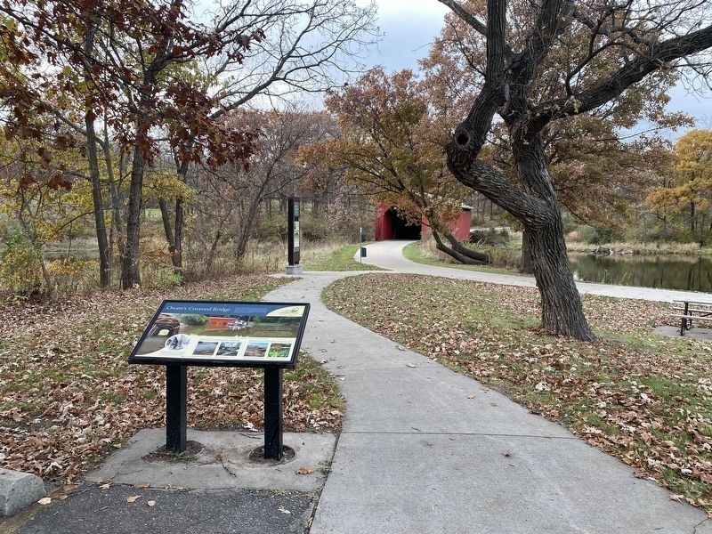
Location. 41° 32.401′ N, 93° 33.575′ W. Marker is in Des Moines, Iowa, in Polk County. It is in Bloomfield/Allen. Marker can be reached from the intersection of Easter Lake Drive and Southeast 28th Street. Located in Easter Lake Park, along the Mark C. Ackelson Trail. Touch for map. Marker is at or near this postal address: 2830 Easter Lake Drive, Des Moines IA 50320, United States of America. Touch for directions.
Other nearby markers. At least 8 other markers are within 4 miles of this marker, measured as the crow flies. Site of Camp Burnside 1862 (approx. 3.8 miles away); Willson Alexander Scott (approx. 3.9 miles away); 平和と友情の鐘 (approx. 4 miles away); Japanese Bell of Peace and Friendship (approx. 4 miles away); Shattering Silence (approx. 4 miles away); A Reflection of Hope (approx. 4.1 miles away); S-36 Submarine Memorial (approx. 4.1 miles away); Dragoon Trail Historical Site Marker No. 7 (approx. 4.1 miles away). Touch for a list and map of all markers in Des Moines.
Credits. This page was last revised on November 21, 2023. It was originally submitted on November 20, 2023. This page has been viewed 67 times since then and 27 times this year. Photos: 1, 2, 3, 4. submitted on November 20, 2023.


