Adams Morgan in Northwest Washington in Washington, District of Columbia — The American Northeast (Mid-Atlantic)
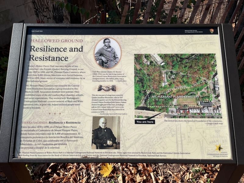
Resilience and Resistance
Hallowed Ground
— Rock Creek Park, National Park Service, U.S. Department of the Interior —
Today's Walter Pierce Park was once the site of two cemeteries—the Friends (Quaker) Burying Ground, in use from 1807 to 1890, and Mt. Pleasant Plains Cemetery, where more than 8,400 African Americans were buried between 1870 and 1890. Many stories of resistance and resilience lie in this hallowed ground.
Mt. Pleasant Plains Cemetery was owned by the Colored Union Benevolent Association, a group founded by free Blacks in 1838. Association members were activists. They established many of the city's earliest Black churches, schools, and social organizations. They worked with Washington's Underground Railroad—a secret network of Black and White operatives who, at great risk, helped enslaved people travel north to freedom.
Tierra Segrada: Resiliencia y Resistencia
Entre los años 1870 y 1890, en el Parque Walter Pierce se encontraba el Cementerio de Mount Pleasant Plains, donde fueron enterrados más de 8,4000 afroamericanos. El cementario pertenecía a la Asociación Benéfica del Sindicato de Personas de Color, que colaboraba con el Ferrocarril Subterráneo—le red clandestina que ayudaba a las personas a escapar de la eslavitud.
[Captions:]
Civil War veteran Charles H. Shorter (1844-1916) was the last living trustee of the Colored Union Benevolent Association (insignia below). His father, John, was a founding member in 1838. — Family photo
This site was part of a large tract owned by Quaker Jonathan Shoemaker, who in 1807 donated a quarter-acre for the Friends Burying Ground. Future President John Quincy Adams (below) bought part of the tract, including a mill, in 1823. Adam' heirs sold 7 acres to the Colored Union Benevolent Association for its cemetery in 1870.
—Smithsonian National Portrait Gallery
The dotted line shows the historical boundaries of the cemeteries.
—Google Earth map
Erected by National Park Service, U.S. Department of the Interior.
Topics and series. This historical marker is listed in these

Photographed By Devry Becker Jones (CC0), November 25, 2023
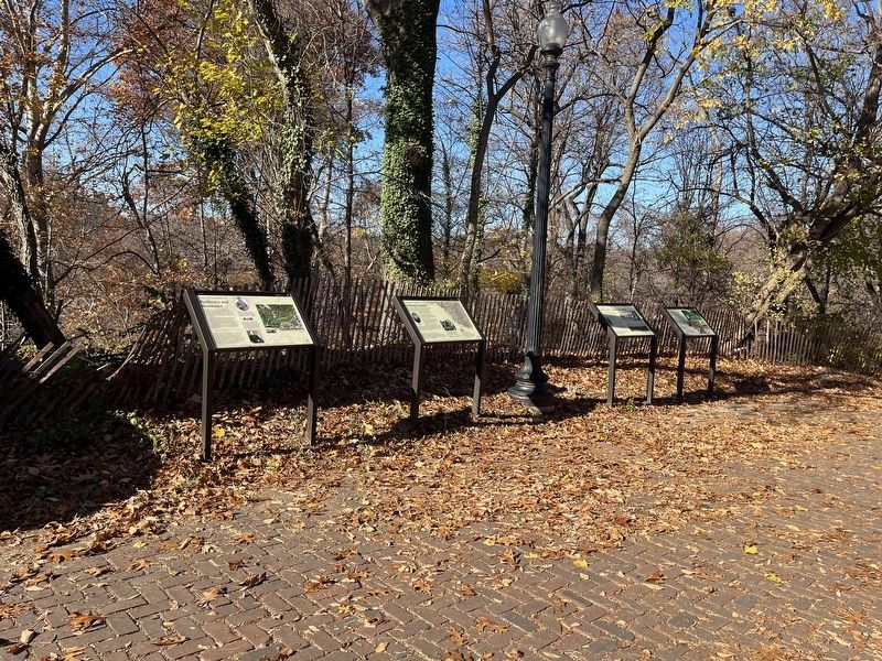
2. Hollowed Ground markers on the grounds of Walter Pierce Park
Location. 38° 55.409′ N, 77° 2.852′ W. Marker is in Northwest Washington in Washington, District of Columbia. It is in Adams Morgan. Marker is at the intersection of Calvert Street Northwest and 20th Street Northwest, on the right when traveling west on Calvert Street Northwest. Touch for map. Marker is at or near this postal address: 1971 Calvert Street Northwest, Washington DC 20009, United States of America. Touch for directions.
Other nearby markers. At least 8 other markers are within walking distance of this marker. Seeking Freedom (here, next to this marker); Rediscovery and Remembrance (here, next to this marker); Soldiers, Sailors, and Refugees of War (here, next to this marker); The ›Duke‹ Ellington Memorial Bridge (here, next to this marker); Archaeology in Adams Morgan: Surveying the Walter Pierce Park Cemeteries, 2005-2013 (a few steps from this marker); Historic Cemetery (about 400 feet away, measured in a direct line); Walter Pierce Park (approx. 0.2 miles away); Woodley Lane Bridge (approx. 0.2 miles away). Touch for a list and map of all markers in Northwest Washington.
Credits. This page was last revised on November 25, 2023. It was originally submitted on November 25, 2023, by Devry Becker Jones of Washington, District of Columbia. This page has been viewed 77 times since then and 44 times this year. Photos: 1, 2. submitted on November 25, 2023, by Devry Becker Jones of Washington, District of Columbia.
