Adams Morgan in Northwest Washington in Washington, District of Columbia — The American Northeast (Mid-Atlantic)
Rediscovery and Remembrance
Hallowed Ground
— Rock Creek Park, National Park Service, U.S. Department of the Interior —
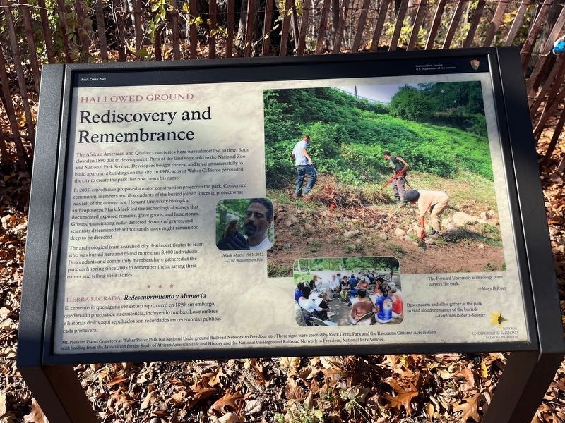
The African American and Quaker cemeteries here were almost lost to time. Both closed in 1890 due to development. Parts of the land were sold to the National Zoo and National Park Service. Developers bought the rest and tried unsuccessfully to build apartment buildings on this site. In 1978, activist Walter C. Pierce persuaded the city to create the park that now bears his name.
In 2005, city officials proposed a major construction project in the park. Concerned community members and descendants of the buried joined forces to protect what was left of the cemeteries. Howard University biological anthropologist Mark Mack led the archeological survey that documented exposed remains, grave goods, and headstones. Ground-penetrating radar detected dozens of graves, and scientists determined that thousands more might remain too deep to be detected.
The archeological team searched city death certificates to learn who was buried here and found more than 8,400 individuals. Descendants and community members have gathered at the park each spring since 2005 to remember them, saying their names and telling their stories.
El cementerio que alguna vez estuvio aqui, cerró en 1890; sin embargo, quedan aún pruebas de su existencia, incluyendo tumbas. Los nombres e historias de los aquí sepultados son recordados en ceremonias públicas cada primavera.
[Captions:]
The Howard University archeology team surveys the park.
— Mary Belcher
Descendants and allies gather at the park to read aloud the names of the buried.
— Gretchen Roberts-Shorter
Erected by National Park Service, U.S. Department of the Interior.
Topics and series. This historical marker is listed in these topic lists: African Americans • Cemeteries & Burial Sites • Industry & Commerce

Photographed By Devry Becker Jones (CC0), November 25, 2023
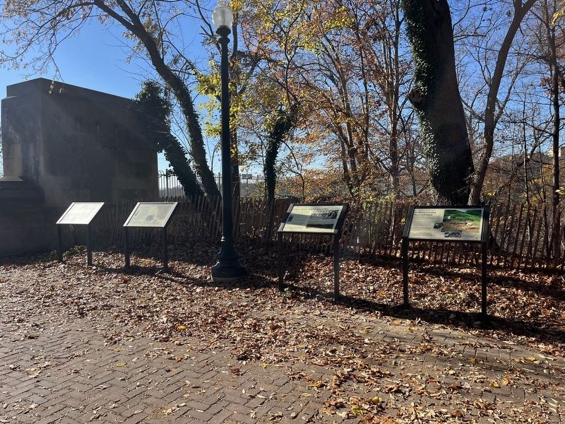
2. Hollowed Ground markers on the grounds of Walter Pierce Park
Location. 38° 55.413′ N, 77° 2.851′ W. Marker is in Northwest Washington in Washington, District of Columbia. It is in Adams Morgan. Marker is at the intersection of Calvert Street Northwest and 20th Street Northwest, on the right when traveling west on Calvert Street Northwest. Touch for map. Marker is at or near this postal address: 1971 Calvert Street Northwest, Washington DC 20009, United States of America. Touch for directions.
Other nearby markers. At least 8 other markers are within walking distance of this marker. Soldiers, Sailors, and Refugees of War (here, next to this marker); Seeking Freedom (here, next to this marker); Resilience and Resistance (here, next to this marker); Archaeology in Adams Morgan: Surveying the Walter Pierce Park Cemeteries, 2005-2013 (a few steps from this marker); The ›Duke‹ Ellington Memorial Bridge (a few steps from this marker); Historic Cemetery (about 400 feet away, measured in a direct line); Walter Pierce Park (approx. 0.2 miles away); Herring Highway (approx. 0.2 miles away). Touch for a list and map of all markers in Northwest Washington.
Credits. This page was last revised on November 25, 2023. It was originally submitted on November 25, 2023, by Devry Becker Jones of Washington, District of Columbia. This page has been viewed 40 times since then and 13 times this year. Photos: 1, 2. submitted on November 25, 2023, by Devry Becker Jones of Washington, District of Columbia.
