Gilead Township near Mount Gilead in Morrow County, Ohio — The American Midwest (Great Lakes)
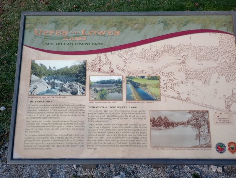
Upper and Lower Dams
Mt. Gilead State Park
The Early Mill
For over 175 years, various lowhead dams (similar to this one) have impounded water at this location on Sam's Creek. In 1841, Richard House built the first dam here from wood, dirt, and gravel. Often, hard rains washed out the dam and it had to be rebuilt. House also built one of the first grist mills in the county, where settlers brought grain to be ground into flour.
Dam building was critical to the early settlers of Morrow County, who relied upon the resulting "mill ponds" to create power. Water from the pond was channeled through the "mill race," where the force of the water turned the mill's waterwheel and powered the equipment.
As teenagers, Richard House's sons John and Walter took over operation of the grist mill. They eventually added a saw mill and planing mill to the operation. In the early 1900s, Richard's grandson Davies George and great-grandson Ernest George joined the business. The mill operated until 1904, when the property was sold to farmer Wesley Shaffer.
Building A New State Park
The 1930s and 1940s marked the beginning of an expansion program for the Ohio Department of Agriculture's Division of Conservation and Natural Resources; this period saw a busy program of dam building around the state to create lakes for fishing and recreation.
In 1928, the Ohio Department of Agriculture purchased 92 acres from Wesley Shaffer, with the intention to build a public lake and state game resort. At this time, the upper dam was rebuilt and the lower dam was added to form a second lake. The project continued through 1930, as the lake beds were excavated and banks were filled. Other infrastructure work included cutting down the hillsides along Route 95 to permit a clear view of the entire site from the highway. Additionally, 50,000 trees were planted surrounding the lakes. The new state park opened in the fall of 1930.
Erected by Ohio Department of Natural Resources.
Topics. This historical marker is listed in these topic lists: Architecture • Parks & Recreational Areas • Waterways & Vessels. A significant historical year for this entry is 1841.
Location. 40° 32.913′ N, 82° 49.104′ W. Marker is near Mount Gilead, Ohio, in Morrow County. It is in Gilead Township. Marker is on East High Street (Ohio Route 95) east of Bank Street, on the left when traveling east. Touch for map. Marker is at or near this postal address: 4119 East High Street, Mount Gilead OH 43338, United States of America. Touch for directions.
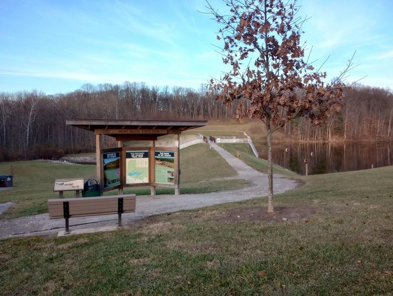
Other nearby markers. At least 8 other markers are within walking distance of this marker. The Dams of Mt. Gilead (here, next to this marker); Mount Gilead Veterans Memorial (approx. 0.3 miles away); Morrow County Civil War Memorial (approx. 0.3 miles away); Morrow County Veterans Memorial Plaza (approx. 0.4 miles away); D.A.R. Revolutionary Soldiers Memorial (approx. 0.4 miles away); War Savings Quota (approx. half a mile away); Morrow County War Memorial (approx. half a mile away); Dawn Powell (approx. half a mile away). Touch for a list and map of all markers in Mount Gilead.
Credits. This page was last revised on December 7, 2023. It was originally submitted on November 26, 2023, by Craig Doda of Napoleon, Ohio. This page has been viewed 55 times since then and 16 times this year. Photos: 1, 2. submitted on November 26, 2023, by Craig Doda of Napoleon, Ohio. • Devry Becker Jones was the editor who published this page.
Editor’s want-list for this marker. A photo of the entire historical marker. • Can you help?

