Fort Smith in Sebastian County, Arkansas — The American South (West South Central)
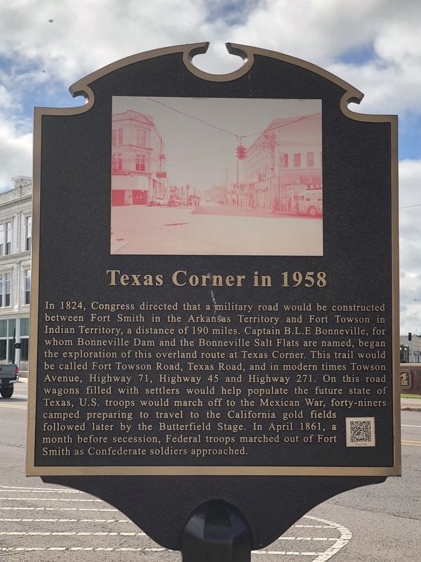
Texas Corner in 1958
Topics. This historical marker is listed in these topic lists: Roads & Vehicles • War, US Civil. A significant historical year for this entry is 1824.
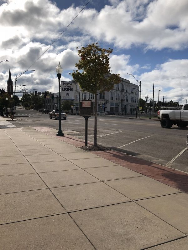
Location. 35° 23.081′ N, 94° 25.272′ W. Marker is in Fort Smith, Arkansas, in Sebastian County. Marker is at the intersection of Garrison Avenue and Towson Road, on the right when traveling west on Garrison Avenue. Marker is in Cisterna Park. Touch for map. Marker is at or near this postal address: 1015 Garrison Ave, Fort Smith AR 72901, United States of America. Touch for directions.
Other nearby markers. At least 8 other markers are within walking distance of this marker. Fort Towson Trail (a few steps from this marker); The New Theatre in 1911 (within shouting distance of this marker); Great Cyclone at Fort Smith (within shouting distance of this marker); Immaculate Conception Church in 1906 (approx. 0.2 miles away); United Spanish War Veterans Memorial (approx. ¼ mile away); 50 Year Concrete Street Service Award • 1963 (approx. ¼ mile away); Sebastian County California Gold Seekers (approx. ¼ mile away); Purple Heart Memorial (approx. ¼ mile away). Touch for a list and map of all markers in Fort Smith.
Also see . . . Texas Corner (PDF). Originally a military road, it begins at what we now know as Texas Corner, the intersection of Garrison and Towson Avenues in downtown Fort Smith, and led south and west through Indian Territory to Texas. First called the Fort Towson Trail, it became better known as Texas Road because of its destination. (Amelia Martin, Fort Smith Historical Society's The Journal newsletter, April 1978; article begins on page 5) (Submitted on November 26, 2023, by Duane and Tracy Marsteller of Murfreesboro, Tennessee.)
Credits. This page was last revised on November 26, 2023. It was originally submitted on November 26, 2023, by Duane and Tracy Marsteller of Murfreesboro, Tennessee. This page has been viewed 53 times since then and 23 times this year. Photos: 1, 2. submitted on November 26, 2023, by Duane and Tracy Marsteller of Murfreesboro, Tennessee.

