Central West End in St. Louis, Missouri — The American Midwest (Upper Plains)
Pershing Place
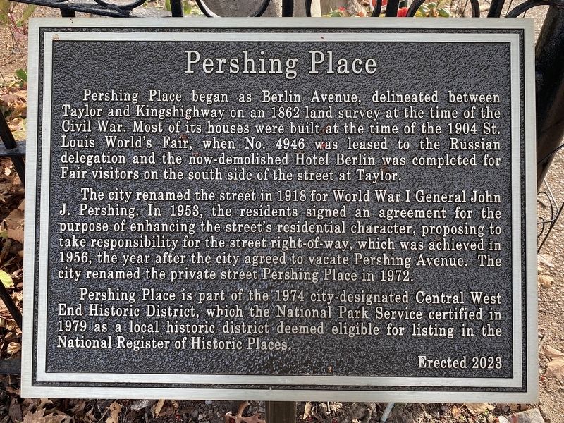
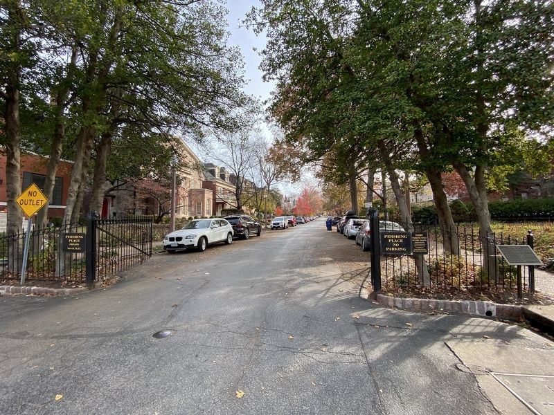
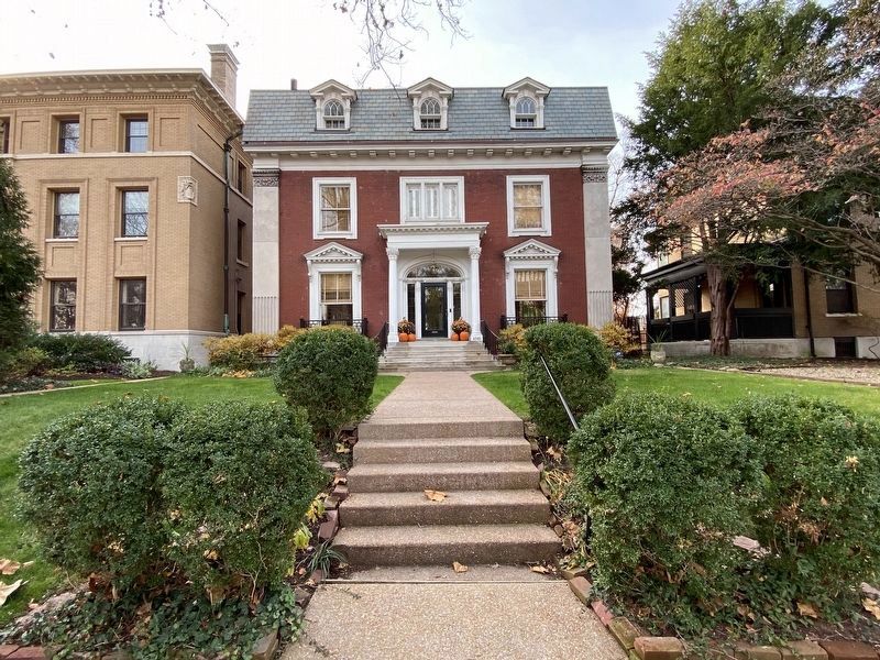
Pershing Place began as Berlin Avenue, delineated between Taylor and Kingshighway on an 1862 land survey at the time of the Civil War. Most of its houses were built at the time of the 1904 St. Louis World's Fair, when No. 4946 was leased to the Russian delegation and the now-demolished Hotel Berlin was completed for Fair visitors on the south side of the street at Taylor.
The city renamed the street in 1918 for World War I General John J. Pershing. In 1953, the residents signed an agreement for the purpose of enhancing the street's residential character, proposing to take responsibility for the street right-of-way, which was achieved in 1956, the year after the city agreed to vacate Pershing Avenue. The city renamed the private street Pershing Place in 1972.
Pershing Place is part of the 1974 city-designated Central West End Historic District, which the National Park Service certified in 1979 as a local historic district deemed eligible for listing in the National Register of Historic Places.
Erected 2023.
Topics. This historical marker is listed in these topic lists: Notable Events • Roads & Vehicles.
Location. 38° 38.764′ N, 90° 15.673′ W. Marker is in St. Louis, Missouri . It is in Central West End. Marker is at the intersection of Pershing Place and North Euclid Avenue, on the right when traveling east on Pershing Place. Touch for map. Marker is at or near this postal address: 4668 Pershing Place, Saint Louis MO 63108, United States of America. Touch for directions.
Other nearby markers. At least 8 other markers are within walking distance of this marker. World's Largest Chess Piece (about 600 feet away, measured in a direct line); Frank P. Blair, Jr. (approx. 0.3 miles away); Trinity Episcopal Church (approx. 0.3 miles away); American Jewish Tercentenary Memorial (approx. 0.3 miles away); Pope John Paul II in St. Louis (approx. 0.4 miles away); Welcome to Forest Park (approx. 0.4 miles away); 4446 Westminster Place (approx. 0.4 miles away); Saint Rose Philippine Duchesne (approx. 0.4 miles away). Touch for a list and map of all markers in St. Louis.
Additional keywords. St. Louis World's Fair of 1904
Credits. This page was last revised on December 18, 2023. It was originally submitted on November 27, 2023, by Darren Jefferson Clay of Duluth, Georgia. This page has been viewed 75 times since then and 37 times this year. Photos: 1, 2, 3. submitted on December 11, 2023, by Darren Jefferson Clay of Duluth, Georgia. • Devry Becker Jones was the editor who published this page.


