Goldsberry Township in Mountain View in Howell County, Missouri — The American Midwest (Upper Plains)
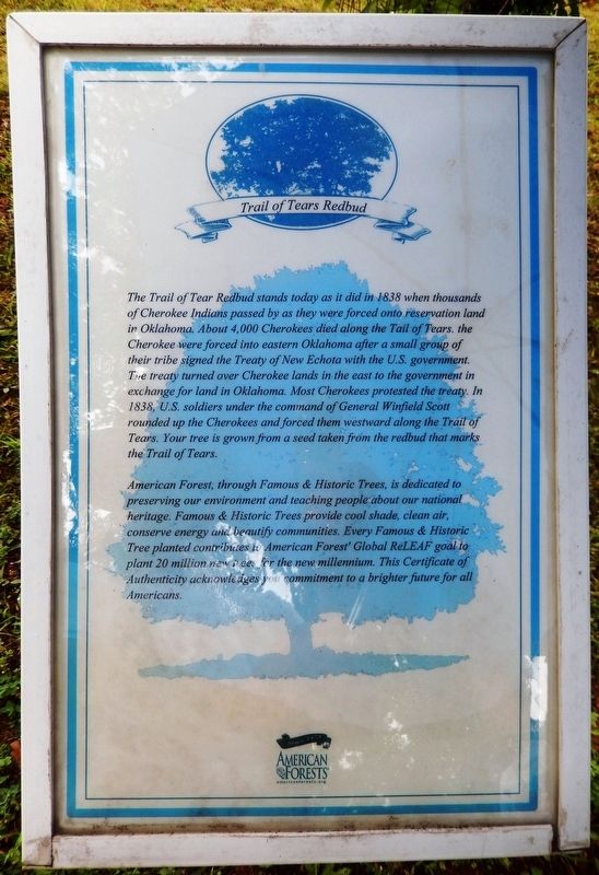
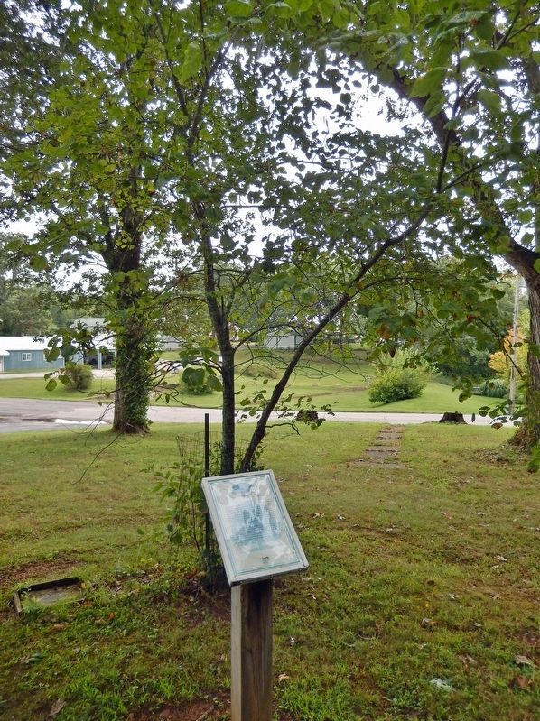
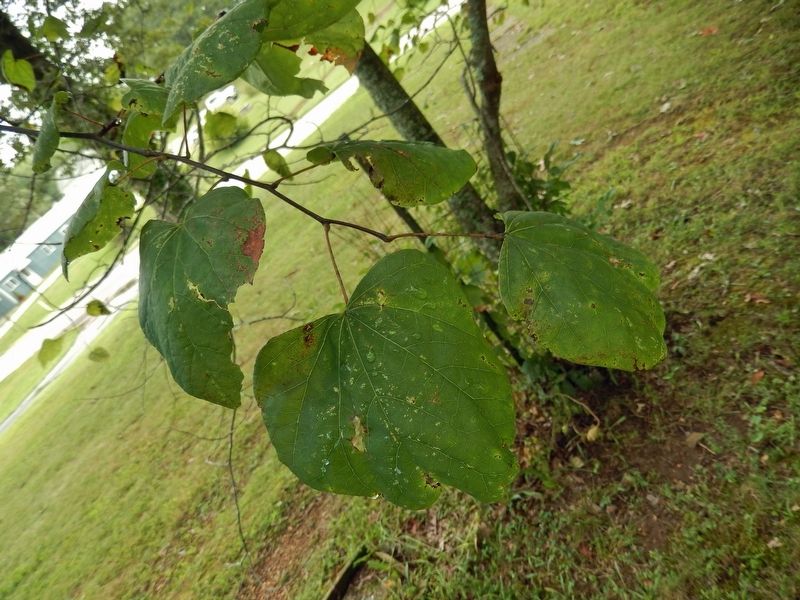
Trail of Tears Redbud
The Trail of Tear Redbud stands today as it did in 1838 when thousands of Cherokee Indians passed by as they were forced onto reservation land in Oklahoma. About 4,000 Cherokees died along the Trail of Tears. The Cherokee were forced into eastern Oklahoma after a small group of their tribe signed the Treaty of New Echota with the U.S. government. The treaty turned over Cherokee lands in the east to the government in exchange for land in Oklahoma. Most Cherokees protested the treaty. In 1838, U.S. soldiers under the command of General Winfield Scott rounded up the Cherokees and forced them westward along the Trail of Tears. Your tree is grown from a seed taken from the redbud that marks the Trail of Tears.
American Forest, through Famous & Historic Trees, is dedicated to preserving our environment and teaching people about our national heritage. Famous & Historic Trees provide cool shade, clean air, conserve energy and beautify communities. Every Famous & Historic Tree planted contributes to American Forest’ Global ReLEAF goal to plant 20 million new trees for the new millennium. This Certificate of Authenticity acknowledges your commitment to a brighter future for all Americans.
Erected by American Forests; Famous & Historic Trees.
Topics and series. This historical marker is listed in these topic lists: Horticulture & Forestry • Native Americans • Wars, US Indian. In addition, it is included in the Trail of Tears series list. A significant historical year for this entry is 1838.
Location. 36° 59.927′ N, 91° 42.346′ W. Marker is in Mountain View, Missouri, in Howell County. It is in Goldsberry Township. Marker can be reached from North Pine Street just north of West 4th Street, on the left when traveling north. The marker and tree are located along the walkway in West Side Park. Touch for map. Marker is at or near this postal address: 406 North Pine Street, Mountain View MO 65548, United States of America. Touch for directions.
Other nearby markers. At least 8 other markers are within walking distance of this marker. George Washington Carver Green Ash (a few steps from this marker); Minuteman Silver Maple (within shouting distance of this marker); John F. Kennedy Crabapple (within shouting distance of this marker); Manassas Red Oak (within shouting distance of this marker); Mount Vernon Red Maple (within shouting distance of this marker); Mark Twain Cave Bur Oak (within shouting distance of this marker); Moon Sycamore
(within shouting distance of this marker); Robin Hood English Oak (about 300 feet away, measured in a direct line). Touch for a list and map of all markers in Mountain View.
Also see . . .
1. Treaty of New Echota (Wikipedia). Excerpt:
The Treaty of New Echota was signed on December 29, 1835, in New Echota, Georgia, by officials of the United States government and representatives of a minority Cherokee political faction, the Treaty Party. The treaty established terms for the Cherokee Nation to cede its territory in the southeast and move west to the Indian Territory. Although the treaty was not approved by the Cherokee National Council nor signed by Principal Chief John Ross, it was amended and ratified in March 1836, and became the legal basis for the forcible removal known as the Trail of Tears.(Submitted on November 29, 2023, by Cosmos Mariner of Cape Canaveral, Florida.)
2. Trail of Tears (History.com). Excerpt:
At the beginning of the 1830s, nearly 125,000 Native Americans lived on millions of acres of land in Georgia, Tennessee, Alabama, North Carolina and Florida–land their ancestors had occupied and cultivated for generations. But by the end of the decade, very few natives remained anywhere in the southeastern United States. Working on behalf of white settlers who wanted to grow cotton on the Indians’ land, the federal government forced them to leave their homelands and walk hundreds of miles to a specially designated “Indian Territory” across the Mississippi River. This difficult and oftentimes deadly journey is known as the Trail of Tears.(Submitted on November 29, 2023, by Cosmos Mariner of Cape Canaveral, Florida.)
3. American Forests™ website. (Submitted on November 29, 2023, by Cosmos Mariner of Cape Canaveral, Florida.)
Credits. This page was last revised on November 30, 2023. It was originally submitted on November 29, 2023, by Cosmos Mariner of Cape Canaveral, Florida. This page has been viewed 69 times since then and 26 times this year. Photos: 1, 2, 3. submitted on November 29, 2023, by Cosmos Mariner of Cape Canaveral, Florida.


