Grand Saline in Van Zandt County, Texas — The American South (West South Central)
Grand Saline, C.S.A.
Photographed by Jeff Leichsenring, November 27, 2023
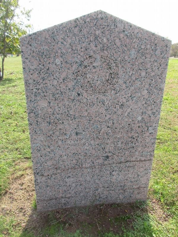
1. Grand Saline, C.S.A. Marker
The large saline deposit was a major source of salt in Texas during the Civil War. Salt was first obtained by the Indians. In 1854, works were built. Sam Richardson, the owner in 1861, went to war and left his wife to run the works until the Confederate government took over production. Because salt was considered a strategic industry, salt workers were exempt from army service for a time and many wells were sunk to obtain the more than 10,000 pounds of salt made daily for the civilians and army west of the Mississippi River. Mule-powered pumps drew the brine from the wells. Gum logs, hollowed out and pinned together formed a pipeline to
Reverse
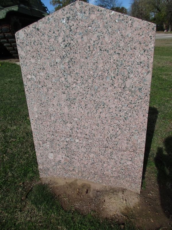
huge iron evaporating kettles. Salt was then sacked, purchased and hauled away on horseback, in wagons and oxcarts. During the Civil War, the demand for salt, the only known way to preserve meat, increased to supply the Southern army. Meat was salted, smoked and then packed in salt for the long, hot trips to army camps. Horses and mules used by cavalry, artillery, and quartermaster units required the vital mineral, too. Salt also preserved hides for making shoes, harnesses
this page online
Erected 1964 by State of Texas. (Marker Number 11416.)
Topics. This historical marker is listed in these topic lists: Indigenous Peoples and Communities • Industry & Commerce • War, US Civil. A significant historical year for this entry is 1854.
Location. 32° 40.44′ N, 95° 41.989′ W. Marker is in Grand Saline, Texas, in Van Zandt County. It is at the intersection of East Garland Street (U.S. 80) and Farm to Market Road 857 on East Garland Street. Touch for map. Marker is at or near this postal address: 591 E Garland Street, Grand Saline TX 75140, United States of America. Touch for directions.

Regionally, this marker is in the American South and in the Piney Woods. Globally, it is in North America, a Gulf of Mexico state, the
Photographed by Jeff Leichsenring, November 27, 2023
2. Grand Saline, C.S.A. Marker Reverse
Other nearby markers. At least 8 other markers are within 5 miles of this marker, measured as the crow flies: Wiley Hardeman Post (approx. 0.6 miles away); First Methodist Church of Grand Saline (approx. 0.6 miles away); Jordans Saline (approx. one mile away); Poletown and Rhodesburg (approx. 1.9 miles away); Creagleville (approx. 3.2 miles away); Benjamin Franklin Wheeler (approx. 3.4 miles away); Mercer's Colony Eastern Boundary (approx. 3½ miles away); Sand Flat Community (approx. 4.3 miles away). Touch for a list and map of all markers in Grand Saline.
Photographed by Jeff Leichsenring, November 27, 2023
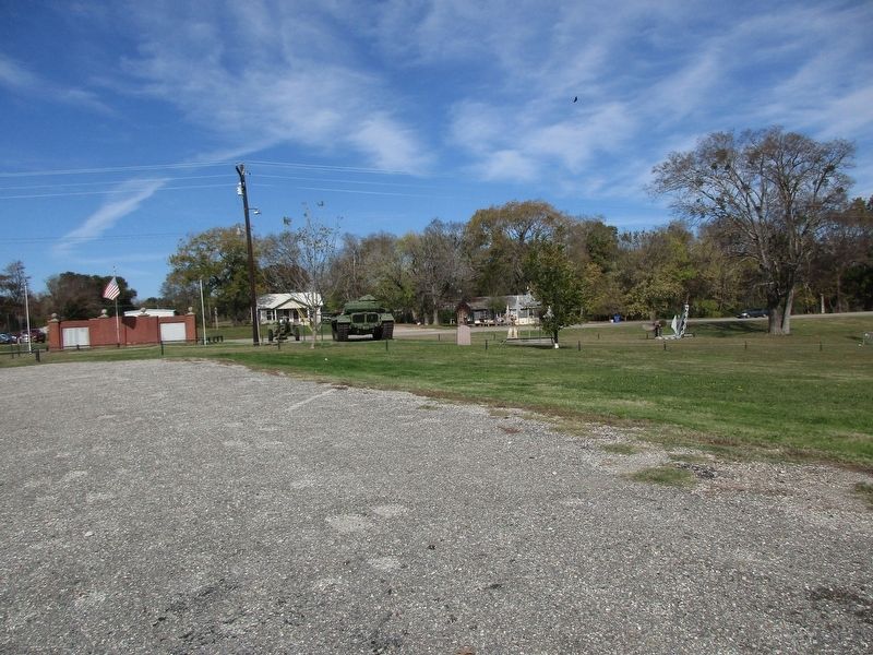
3. Grand Saline, C.S.A. Marker
Credits. This page was last revised on May 10, 2024. It was originally submitted on November 29, 2023, by Jeff Leichsenring of Garland, Texas. This page has been viewed 418 times since then and 56 times this year. Photos: 1, 2, 3. submitted on November 29, 2023, by Jeff Leichsenring of Garland, Texas. • James Hulse was the editor who published this page.
