Kingman and Heritage Islands in Northeast Washington in Washington, District of Columbia — The American Northeast (Mid-Atlantic)
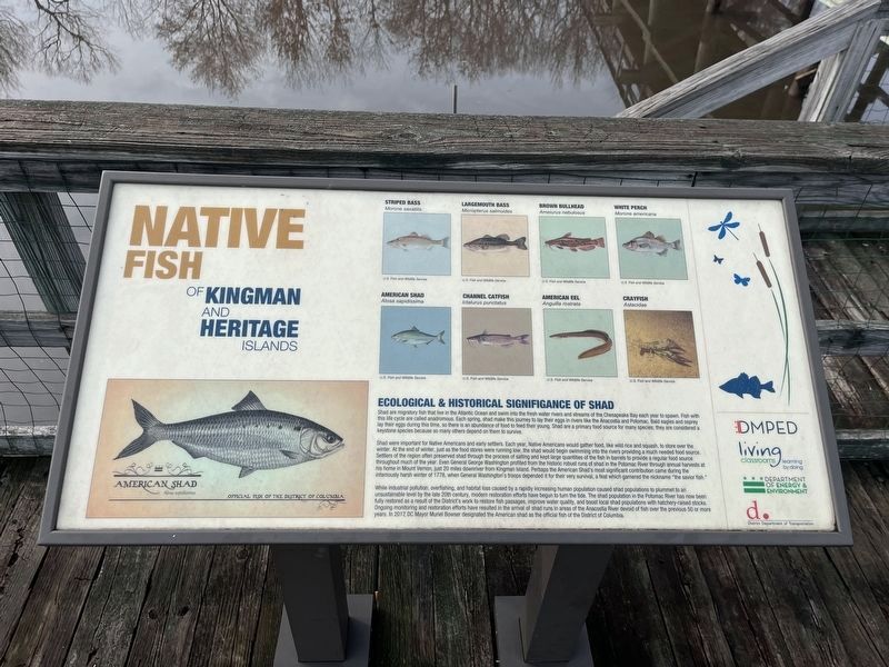
Native Fish of Kingman and Heritage Islands

Photographed By Devry Becker Jones (CC0), December 2, 2023
1. Native Fish of Kingman and Heritage Islands Marker
Ecological & Historical Significance of Shad
Shade are migratory fish in the Atlantic Ocean and swim into the fresh water rivers and streams of the Chesapeake Bay each year to spawn. Fish with this life cycle are called anadromous. Each spring, shad make this journey to lay their eggs in rivers like the Anacostia and Potomac. Bald eagles and osprey lay their eggs during this time, so there is an abundance of food to feed their young. Shad are a primary food source for many species; they are considered a keystone species because so many others depend on them to survive.
Shad were important for Native Americans and early settlers. Each year, Native Americans would gather food, like wild rice and squash, to store over the winter. At the end of each winter, just as the food stores were running low, the shad would begin swimming into the rivers providing a much needed food source. Settlers of the region often preserved shad through the process of salting and kept large quantities of the fish in barrels to provide a regular food source throughout much of the year. Even General George Washington profited from the historic robust runs of shad in the Potomac River through annual harvests at his home in Mount Vernon, just 20 miles downriver from Kingman Island. Perhaps the American Shad's most significant contribution came during the infamously harsh winter of 1778, when General Washington's troops depended on it for their very survival, a feat which garnered the nickname "the savior fish."
While industrial pollution, overfishing, and habitat loss, caused by a rapidly increasing human population caused shad populations to plummet to an unsustainable level by the late 20th century, modern restoration efforts have begun to turn the tide. The shad population in the Potomac River has now been fully restored as a result of the District's work to restore fish passages, improve water quality, and boost local shad populations with hatchery-raised stocks. Ongoing monitoring and restoration efforts have resulted in the arrival of shad runs in areas of the Anacostia River devoid of fish over the previous 50 or more years. In 2017, DC Mayor Muriel Bowser designated the American shad as the official fish of the District of Columbia.
Erected by DC Office of the Deputy Mayor for Planning and Economic Development; Living Classrooms Foundation; DC Department of Energy & Environment; District Department of Transportation.
Topics. This historical marker is listed in these topic lists: Animals • Environment • Native Americans • War, US Revolutionary. A significant historical year for this entry is 1778.
Location. 38°

Photographed By Devry Becker Jones (CC0), December 2, 2023
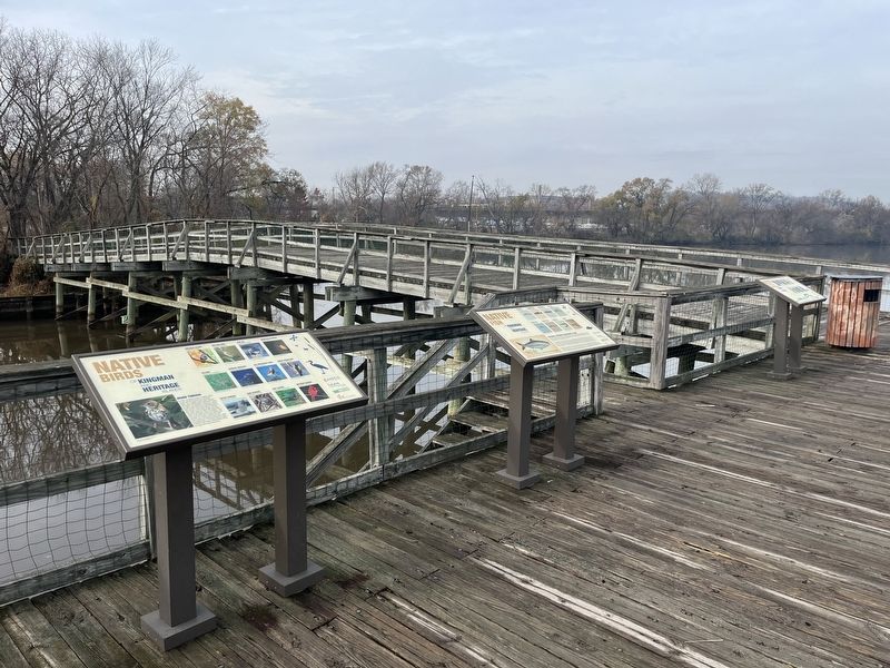
2. Native Fish of Kingman and Heritage Islands Marker
Other nearby markers. At least 8 other markers are within walking distance of this marker. Native Birds of Kingman and Heritage Islands (here, next to this marker); a different marker also named Native Birds of Kingman and Heritage Islands (a few steps from this marker); Welcome to Kingman & Heritage Islands (about 700 feet away, measured in a direct line); a different marker also named Welcome to Kingman & Heritage Islands (approx. 0.2 miles away); Whitney M. Young, Jr. Memorial Bridge (approx. 0.4 miles away); Langston Golf Course (approx. 0.4 miles away); Langston Golf Course and Driving Range (approx. 0.4 miles away); Clark Calvin Griffith (approx. half a mile away). Touch for a list and map of all markers in Northeast Washington.
Credits. This page was last revised on December 2, 2023. It was originally submitted on December 2, 2023, by Devry Becker Jones of Washington, District of Columbia. This page has been viewed 46 times since then and 11 times this year. Photos: 1, 2. submitted on December 2, 2023, by Devry Becker Jones of Washington, District of Columbia.