Downtown in San Antonio in Bexar County, Texas — The American South (West South Central)
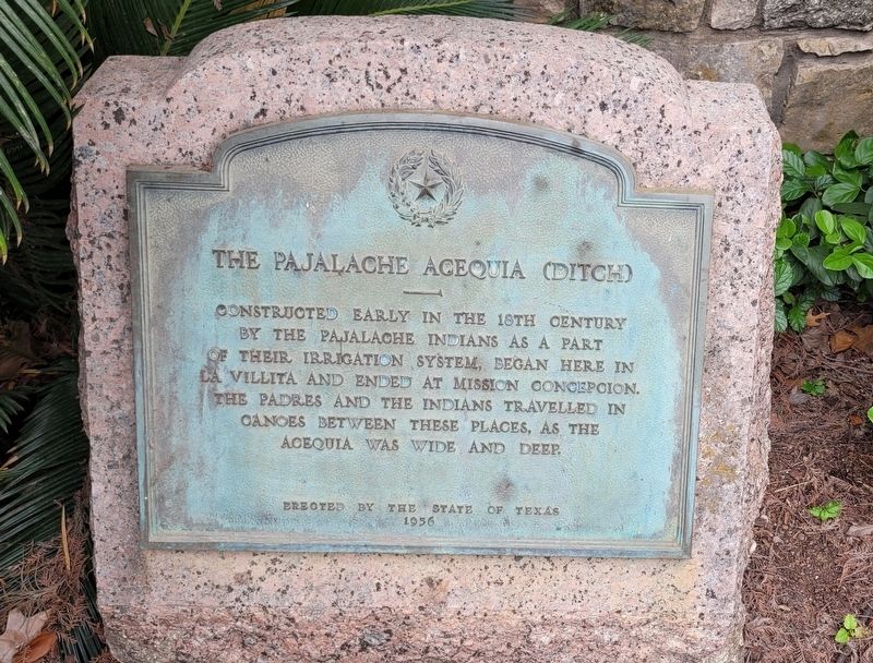
The Pajalache Acequia (Ditch)
Erected 1936 by State of Texas. (Marker Number 3911.)
Topics. This historical marker is listed in these topic lists: Native Americans • Waterways & Vessels.
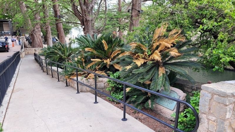
Location. 29° 25.369′ N, 98° 29.37′ W. Marker is in San Antonio, Texas, in Bexar County. It is in Downtown. Marker is on North Presa Street, 0.1 miles south of West Market Street, on the right when traveling north. The marker is located along the north side of the River Walk. Touch for map. Marker is in this post office area: San Antonio TX 78205, United States of America. Touch for directions.
Other nearby markers. At least 8 other markers are within walking distance of this marker. Address by President Lincoln (within shouting distance of this marker); Presa Street Crossing (within shouting distance of this marker); Padre Damian Massanet's Table (within shouting distance of this marker); Old Mill Crossing (within shouting distance of this marker); La Villita And The River (within shouting distance of this marker); Naming of San Antonio (about 300 feet away, measured in a direct line); Quanah Parker (about 300 feet away); Charles Goodnight (about 300 feet away). Touch for a list and map of all markers in San Antonio.
Also see . . .
1. Pajalat Indians. Texas State Historical Association (Submitted on July 4, 2023, by James Hulse of Medina, Texas.)
2. Acequia. Wikipedia (Submitted on July 4, 2023, by James Hulse of Medina, Texas.)
Credits. This page was last revised on December 3, 2023. It was originally submitted on July 3, 2023, by James Hulse of Medina, Texas. This page has been viewed 115 times since then and 31 times this year. Last updated on December 2, 2023, by Jeff Leichsenring of Garland, Texas. Photos: 1, 2. submitted on July 4, 2023, by James Hulse of Medina, Texas. • J. Makali Bruton was the editor who published this page.

