Rosman in Transylvania County, North Carolina — The American South (South Atlantic)
The Eastatoe Path
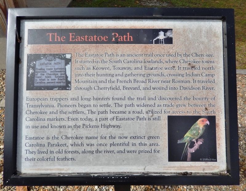
The Eastatoe Path is an ancient trail once used by the Cherokee. It started in the South Carolina lowlands, where Cherokee towns such as Keowee, Toxaway, and Eastatoe were. It traveled north into their hunting and gathering grounds, crossing Indian Camp Mountain and the French Broad River near Rosman. It traveled through Cherryfield, Brevard, and wound into Davidson River.
European trappers and long hunters found the trail and discovered the bounty of Transylvania. Pioneers began to settle. The path widened as trade grew between the Cherokee and the settlers. The path became a road, utilized for access to the South Carolina markets. Even today, a part of Eastatoe Path is still in use and known as the Pickens Highway.
Eastatoe is the Cherokee name for the now extinct green Carolina Parakeet, which was once plentiful in this area. They lived in old forests, along the river, and were prized for their colorful feathers.
© 2011 eyd/thm
Erected 2011 by Transylvania Heritage Museum.
Topics. This historical marker is listed in these topic lists: Industry & Commerce • Native Americans • Roads & Vehicles • Settlements & Settlers.
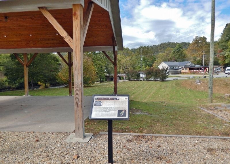
Location. 35° 8.735′ N, 82° 49.551′ W. Marker is in Rosman, North Carolina, in Transylvania County. Marker can be reached from the intersection of Pickens Highway (U.S. 178) and Main Street (State Road 1156), on the right when traveling south. The marker is located in the history exhibit plaza adjacent to Rosman Town Hall. Touch for map. Marker is at or near this postal address: 6 Main Street, Rosman NC 28772, United States of America. Touch for directions.
Other nearby markers. At least 8 other markers are within walking distance of this marker. The Queen City (here, next to this marker); The Mighty French Broad (here, next to this marker); Joshua Mountain and Early Settlers (here, next to this marker); God's Children (here, next to this marker); Rosman Today (a few steps from this marker); Rosman Schools (a few steps from this marker); What's in a Name? (a few steps from this marker); Making a Living (a few steps from this marker). Touch for a list and map of all markers in Rosman.
Related markers. Click here for a list of markers that are related to this marker.
Also see . . . Estatoe Path (Encyclopedia of North Carolina article by David G. Moore, 2006). (Submitted on December 3, 2023, by Cosmos Mariner of Cape Canaveral, Florida.)
Credits. This page was last revised on December 3, 2023. It was originally submitted on December 3, 2023, by Cosmos Mariner of Cape Canaveral, Florida. This page has been viewed 60 times since then and 24 times this year. Photos: 1, 2. submitted on December 3, 2023, by Cosmos Mariner of Cape Canaveral, Florida.

