
Near Leesylvania in Prince William County, Virginia — The American South (Mid-Atlantic)
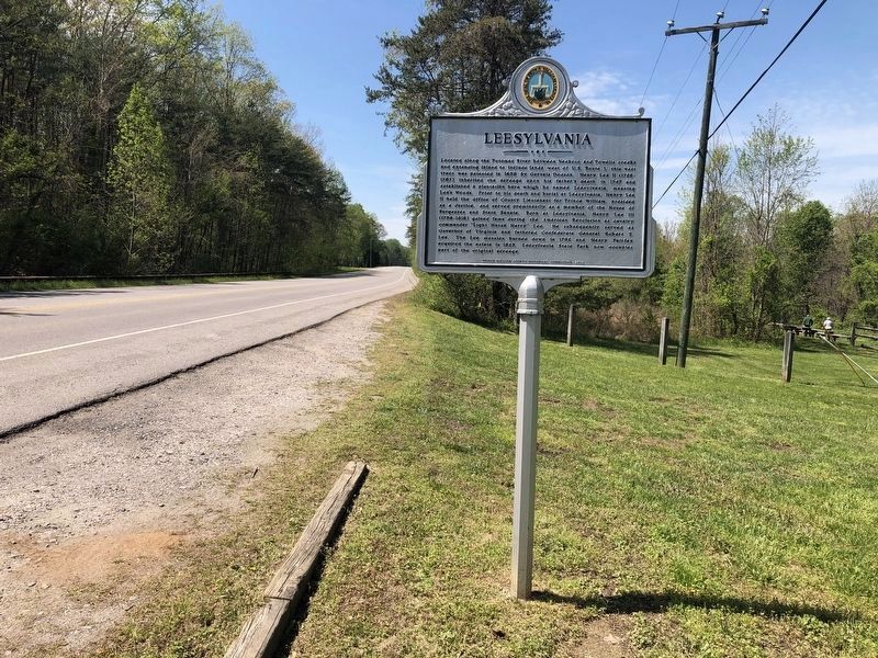
Leesylvania
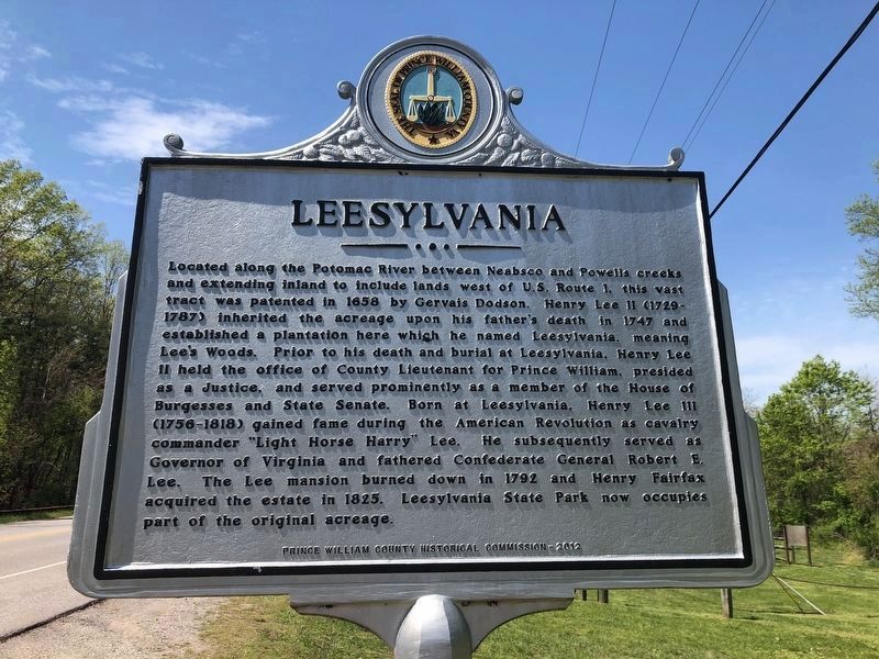
Erected 2012 by Prince William County Historical Commission.
Topics. This historical marker is listed in these topic lists: Colonial Era • Government & Politics • Settlements & Settlers
this page online
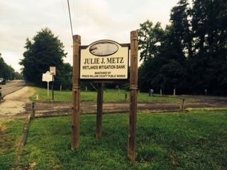
Location. 38° 36.318′ N, 77° 16.655′ W. Marker is near Leesylvania, Virginia, in Prince William County. It is on Neabsco Road 0.1 miles east of Macedonia Drive, on the left when traveling east. Marker is located in the parking lot of the Julie J. Metz Wetlands Mitigation Bank. Touch for map. Marker is at or near this postal address: 15875 Neabsco Road, Woodbridge VA 22191, United States of America. Touch for directions.

Regionally, this marker is in the Washington Metropolitan Area, in Northern Virginia, and in the Piedmont. It is also in the American South, specifically in the Upper South, and in the Mid-Atlantic. Globally, it is in the North Atlantic Region, North America, the Western Hemisphere, the Western World, and the Anglosphere. Historically, it finds itself in what was once the territory of the Mississippian Culture, one of the original Thirteen Colonies, one of the Confederate States of America, and the Antebellum South.
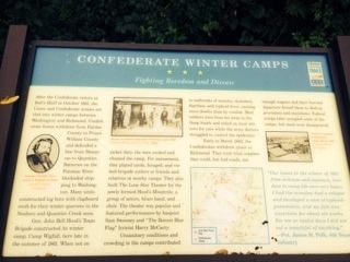
Other nearby markers. At least 8 other markers are within walking distance of this marker: Confederate Winter Camps
Photographed by James R. Murray, August 1, 2014
2. Leesylvania Marker
Look for the Julie J. Metz Wetlands Mitigation Bank sign, then pull into the parking lot
More about this marker. The Confederate Winter Camps marker has been relocated to this location as well.
Photographed by Allen C. Browne, September 26, 2019
4. Henry Lee II
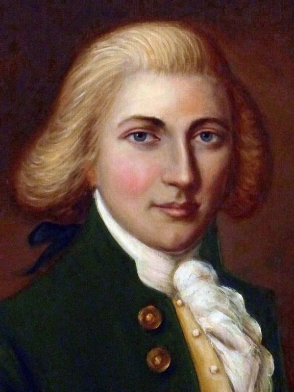
This portrait of Henry Lee II hangs at Sully Plantation in Fairfax County, Virginia. Henry Lee II was the father of Henry Lee III (Light Horse Harry), of Charles Lee, Attorney General of the United States and of Richard Bland Lee of Sully and eventually Washington, DC, the first U.S. Congressman from Fairfax County.
Photographed by James R. Murray, August 1, 2014
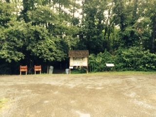
5. Relocated Confederate Winter Camps marker
This marker has been relocated from its original location. It is at the right rear of the parking lot
Photographed by James R. Murray, August 1, 2014
6. Confederate Winter Camps marker
Location detail
Credits. This page was last revised on December 4, 2023. It was originally submitted on August 3, 2014, by James R. Murray of Elkton, Florida. This page has been viewed 912 times since then and 42 times this year. Last updated on December 4, 2023, by N. Jozsa of Woodbridge, Virginia. Photos: 1. submitted on April 12, 2020, by Devry Becker Jones of Washington, District of Columbia. 2. submitted on August 3, 2014, by James R. Murray of Elkton, Florida. 3. submitted on April 12, 2020, by Devry Becker Jones of Washington, District of Columbia. 4. submitted on September 27, 2019, by Allen C. Browne of Silver Spring, Maryland. 5, 6. submitted on August 3, 2014, by James R. Murray of Elkton, Florida. • Bernard Fisher was the editor who published this page.
