Jekerkwartier in Maastricht, Limburg, Netherlands — Northwestern Europe
Commandobunker Koude Oorlog / Cold War Command Bunker
Inscription.
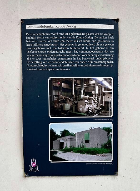
De commandobunker werd rond 1980 gebouwd ter plaatse van het vroegere badhuis. Het is een typisch relict van de Koude Oorlog. De bunker heeft betonnen muren van ruim een meter dik en hierin zijn gassluizen en koolstoffilters aangebracht. Het gebouw is gecamoufleerd als een gewoon kazernegebouw met een baksteen buitenschil. In het gebouw is een telefooncentrale ondergebracht naast het commandocentrum dat een vroege toepassingen van systeemvloeren toont. Voor de energievoorziening zijn er twee reusachtige generatoren in het bouwwerk ondergebracht. De bezetting van de commandobunker zou onder ABC-omstandigheden (Atoom-biologisch-chemisch) onafhankelijk van de buitenwereld enige tijd moeten kunnen blijven functioneren.
Cold War Command Bunker
The command bunker was built around 1980 on the site of the former bathhouse. It is a typical relic of the Cold War. The bunker has concrete walls of more than a meter thick, with gas locks and carbon filters installed. The building is camouflaged as an ordinary barracks building with a brick outer shell. In the building there is a telephone exchange housed next to the command center that shows early applications of floor systems. For energy supply there are two huge generators housed in the structure. Occupation of the command bunker was intended to be under ABC conditions (Atomic-Biological-Chemical) and able to continue to function independently of the outside world for some time.
Topics. This historical marker is listed in these topic lists: Forts and Castles • War, Cold. A significant historical year for this entry is 1980.
Location. 50° 50.532′ N, 5° 41.335′ E. Marker is in Maastricht, Limburg. It is in Jekerkwartier. Marker is on Sint Hubertuslaan, on the left when traveling north. Touch for map. Marker is in this post office area: Maastricht, Limburg 6212 AB, Netherlands. Touch for directions.
Other nearby markers. At least 8 other markers are within walking distance of this marker. Grafmonument Dibbets / General Dibbets Grave Monument (here, next to this marker); Legeringsgebouw en messgebouw / Instructional Building and Mess Hall (a few steps from this marker); U.S. Ninth Army Headquarters (about 210 meters away, measured in a direct line); Huis in den Nieuwenhof / House on the Nieuwenhof (about 210 meters away); Hertogsmolen aan de Stadsmuur / The Duke’s Mill at the City Wall (approx. 0.4 kilometers away); Stadsommuring / City Walls
(approx. 0.4 kilometers away); Eerste Stadsommuring / First City Wall (approx. 0.4 kilometers away); Non Sum Qualis Eram (approx. half a kilometer away). Touch for a list and map of all markers in Maastricht.
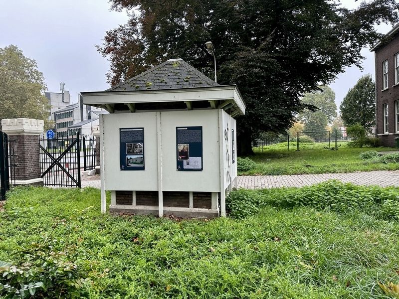
More about this marker. The marker is on the site of the former Tapijn Barracks, on what appears to have been a guardhouse turned kiosk. It is readily accessible from the entrance on Sint Hubertuslaan.
Also see . . . Tapijnkazerne (KEC).
Excerpt: A former military base, the Tapijnkazerne was built between 1916 and 1919 in the area known as ‘de Kommen’, a name reminiscent of the ‘inundation basins’, which since the seventeenth century served as a wet defense line along the south side of Maastricht. In 1934 the military base was named after Sebastiaan Tapijn, who in 1579 heroically yet unsuccessfully sought to defend Maastricht against the Spanish besiegers and who also died in that effort. Initially, the army base comprised the following: three barracks, a gym and fencing building, a swimming pool, a kitchen facility, a drill building, a dining hall, an army depot, two sanitary buildings, a stable, a garage, a guard building, an engineering corps building and two double homes. About a year after the base’s completion, a sickbay was added. In 1953 and 1955 two more buildings were erected on both sides of the medical facility: a dining hall and a building housing instruction rooms, sleeping quarters and an officers’ mess. The latter building, designed by architect P. de Ruiter, is praised for its architectonic qualities to this day. From 1967, various NATO departments used this army base, including AFCENT (1967-2000), AFNORTH (2000-2004) and JFC Brunssum (2004-2010). To serve these organizations, various buildings were added in the course of the 1980s, including the bunker building. As of 1 October 2013, the Tapijnkazerne has been co-owned by Maastricht University, the Province of Limburg and the City of Maastricht.(Submitted on December 5, 2023.)
Credits. This page was last revised on December 24, 2023. It was originally submitted on December 5, 2023, by Andrew Ruppenstein of Lamorinda, California. This page has been viewed 35 times since then and 2 times this year. Photos: 1, 2. submitted on December 5, 2023, by Andrew Ruppenstein of Lamorinda, California.

