Pequot Lakes in Crow Wing County, Minnesota — The American Midwest (Upper Plains)
Prescribed Fire
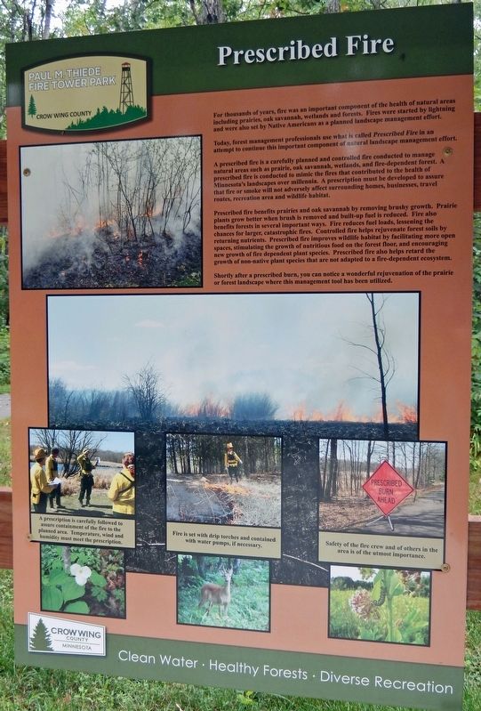
For thousands of years, fire was an important component of the health of natural areas including prairies, oak savannah, wetlands and forests. Fires were started by lightning and were also set by Native Americans as a planned landscape management effort.
Today, forest management professionals use what is called Prescribed Fire in an attempt to continue this important component of natural landscape management effort.
A prescribed fire is a carefully planned and controlled fire conducted to manage natural areas such as prairie, oak savannah, wetlands, and fire-dependent forest. A prescribed fire is conducted to mimic the fires that contributed to the health of Minnesota's landscapes over millennia. A prescription must be developed to assure that fire or smoke will not adversely affect surrounding homes, businesses, travel routes, recreation area and wildlife habitat.
Prescribed fire benefits prairies and oak savannah by removing brushy growth. Prairie plants grow better when brush is removed and built-up fuel is reduced. Fire also benefits forests in several important ways. Fire reduces fuel loads, lessening the chances for larger, catastrophic fires. Controlled fire helps rejuvenate forest soils by returning nutrients. Prescribed fire improves wildlife habitat by facilitating more open spaces, stimulating the growth of nutritious food on the forest floor, and encouraging new growth of fire dependent plant species. Prescribed fire also helps retard the growth of non-native plant species that are not adapted to a fire-dependent ecosystem.
Shortly after a prescribed burn, you can notice a wonderful rejuvenation of the prairie or forest landscape where this management tool has been utilized.
Erected by Crow Wing County, Minnesota.
Topics. This historical marker is listed in these topic lists: Horticulture & Forestry • Native Americans • Parks & Recreational Areas.
Location. 46° 36.246′ N, 94° 17.659′ W. Marker is in Pequot Lakes, Minnesota, in Crow Wing County. Marker can be reached from County Road 11, 0.3 miles east of State Highway 371, on the left when traveling east. The marker is located along the Fire Tower Trail in Paul M. Thiede Fire Tower Park. Touch for map. Marker is at or near this postal address: 5230 County Road 11, Pequot Lakes MN 56472, United States of America. Touch for directions.
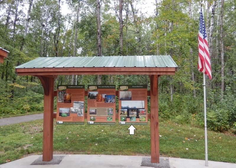
Other nearby markers. At least 8 other markers are within walking distance of this marker. Fire and Healthy Forests (here, next to this marker); Close to Home... Area Historic Wildfires (here, next to this marker); Traditional Landscape (here, next to this marker); Minnesota's Most Devastating Wild Fires (here,

2. Marker detail: Prescribed Burns
A prescription is carefully followed to assure containment of the fire to the planned area. Temperature, wind and humidity must meet the prescription.
Fire is set with drip torches and contained with water pumps, if necessary.
Safety of the fire crew and of others in the area is of the utmost importance.
Related markers. Click here for a list of markers that are related to this marker. Paul M. Thiede Fire Tower Park
Also see . . . Indigenous Fire Practices Shape our Land (National Park Service). Excerpt:
For many millenia, fire was integral to many Indigenous peoples’ way of life. Native Americans, Alaska Natives, and Native Hawaiians used fire to clear areas for crops and travel, to manage the land for specific species of both plants and animals, to hunt game, and for many other important uses. Fire was a tool that promoted ecological diversity and reduced the risk of catastrophic wildfires.(Submitted on December 6, 2023, by Cosmos Mariner of Cape Canaveral, Florida.)
Credits. This page was last revised on December 9, 2023. It was originally submitted on December 5, 2023, by Cosmos Mariner of Cape Canaveral, Florida. This page has been viewed 50 times since then and 7 times this year. Photos: 1, 2, 3. submitted on December 6, 2023, by Cosmos Mariner of Cape Canaveral, Florida.

