Near Aden in Prince William County, Virginia — The American South (Mid-Atlantic)
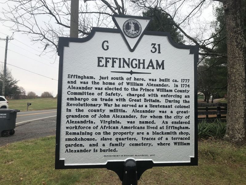
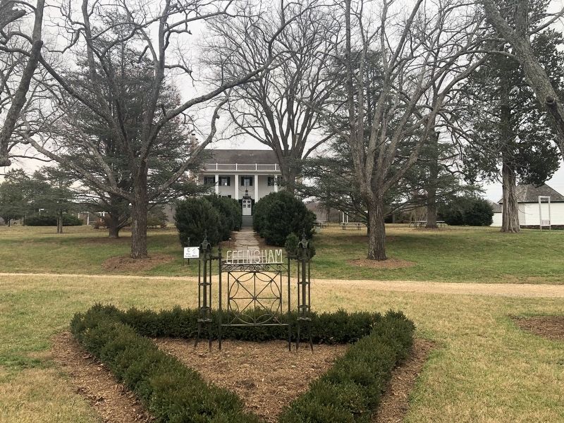
Effingham
Erected 2017 by Department of Historic Resources. (Marker Number G-31.)
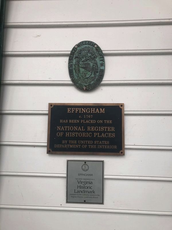
Topics and series. This historical marker is listed in these topic lists: African Americans • Cemeteries & Burial Sites • Colonial Era • Settlements & Settlers. In addition, it is included in the Virginia Department of Historic Resources (DHR) series list. A significant historical year for this entry is 1767.
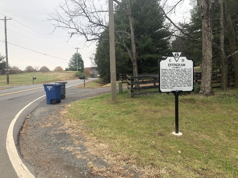
Location. 38° 38.66′ N, 77° 31.235′ W. Marker is near Aden, Virginia, in Prince William County. Marker is at the intersection of Aden Road (Virginia Route 646) and Trodders Ridge Place on Aden Road. Touch for map . Marker is at or near this postal address: 14017 Aden Rd, Nokesville VA 20181, United States of America. Touch for directions.
Other nearby markers. At least 8 other markers are within 4 miles of this marker, measured as the crow flies. A different marker also named Effingham (approx. 0.4 miles away); Asbury Church (approx. 1.2 miles away); Green Level Plantation (approx. 1.2 miles away); Cedar Run Court House Site (approx. 1.2 miles away); Colonial Road (approx. 1.9 miles away); Home of the "Boy Major" (approx. 2 miles away); White Hall (approx. 3.2 miles away); 1822 Tavern Site (approx. 3.3 miles away). Touch for a list and map of all markers in Aden.
Regarding Effingham. There is a typo on the marker -- the property is believed to have been built ca. 1767.
Credits. This page was last revised on December 7, 2023. It was originally submitted on December 1, 2019, by Devry Becker Jones of Washington, District of Columbia. This page has been viewed 395 times since then and 47 times this year. Last updated on December 6, 2023, by N. Jozsa of Woodbridge, Virginia. Photos: 1, 2, 3, 4. submitted on December 1, 2019, by Devry Becker Jones of Washington, District of Columbia. • Bernard Fisher was the editor who published this page.


