Berwyn Heights in Prince George's County, Maryland — The American Northeast (Mid-Atlantic)
Town of Berwyn Heights
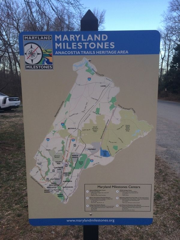
Anacostia Trails Heritage Area
| — | Welcome to the Town of Berwyn Heights | — |

Established in 1888 as a commuter suburb on the Baltimore & Ohio Railroad, this approximately 1-square mile, residential community was first named Charlton Heights and became Berwyn Heights when incorporated in 1896.
Today's Greenbelt Road sits on top of the old Branchville Road, which connected the Baltimore-Washington Turnpike (Route 1) and the Branchville stop of the Baltimore & Ohio Railroad (now CSX) with the properties of the Walker family who used to own the land around Greenbelt. Jonathan T. Walker and his son James owned the land just south of Branchville Road before they sold it to the developers of Charlton Heights. The property was called Ore Bank Farm because of a mine that produced, at its peak, 50 tons of iron ore per week. The iron was sent by rail to Baltimore furnaces for smelting.
Former mines, mills and farms have given way to retail businesses, government agencies and the University of Maryland as principal employers of the people who live here. Yet, many tradesmen and small businesses continue to make Berwyn Heights their home.
① Town Hall
Comprises municipal
this page online
② Berwyn Heights Elementary School & Community Center
Public elementary school with gymnasium surrounded by recreational facilities. The school court yard showcases an educational garden maintained by students and the PTA. Former site of the St. Ann's Infant Asylum.
③ Pop's Park
Playground with picnic area.
④ Sports Park
Site of Boys & Girls Club's ball fields and comfort station with rest rooms.
⑤ Indian Creek Park
Native American-themed playground and ball fields adjacent to Indian Creek Trail.
⑥ Historic Walking Tour (red line)
Showcases Victorian pattern book houses along Ruatan Street, Berwyn Road, and other streets. Walking tour brochure available at Historical Committee website (berwynehightshistory.wordpress.com), Town Museum and at Indian Creek Trailhead.
Erected 2016 by Maryland Heritage Areas Authority.
Topics. This historical marker is listed in these topic lists: Industry & Commerce • Railroads & Streetcars •
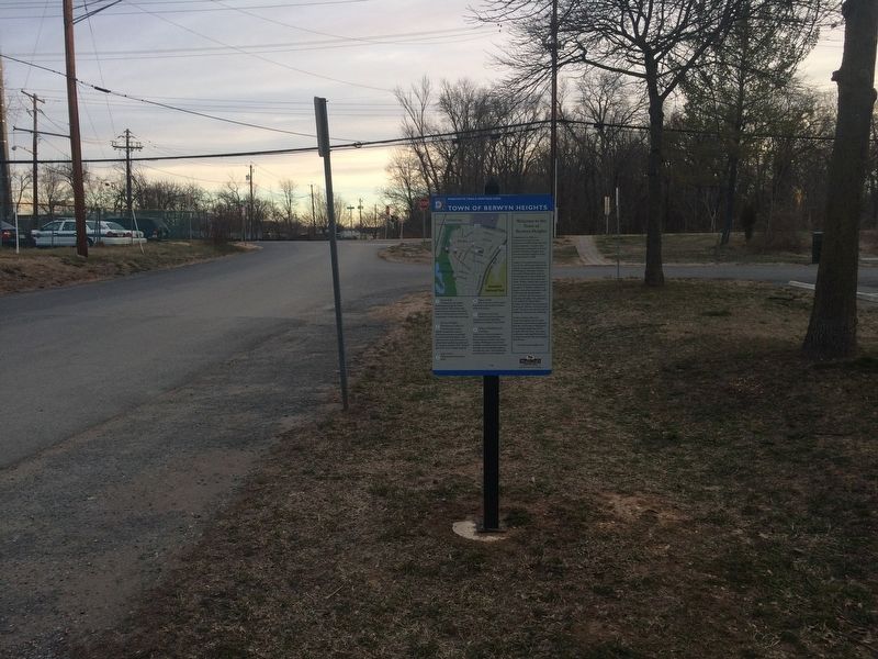
Location. 38° 59.592′ N, 76° 55.254′ W. Marker is in Berwyn Heights, Maryland, in Prince George's County. It is at the intersection of 58th Avenue and Greenbelt Road (State Route 193), on the right when traveling north on 58th Avenue. On the 58th Avenue side of 7Eleven/Little Ceasar's Restaurant on Greenbelt Road. Touch for map. Marker is at or near this postal address: 5815 Greenbelt Road, College Park MD 20740, United States of America. Touch for directions.

Regionally, this marker is in the Washington Metropolitan Area. It is also in the American South, specifically in the Upper South, in the Mid-Atlantic, and on the Eastern Seaboard. Globally, it is in the North Atlantic Region, North America, the Western Hemisphere, the Western World, and the Anglosphere. Historically, it finds itself in what was once one of the original Thirteen Colonies and also the Antebellum South.
Other nearby markers. At least 8 other markers are within walking distance of this marker: A different marker also named Town of Berwyn Heights (about 400
Regarding Town of Berwyn Heights. History of Greenbelt Road, formerly Branchville Road, and adjacent area.
Credits. This page was last revised on March 3, 2024. It was originally submitted on March 17, 2018, by Devry Becker Jones of Washington, District of Columbia. This page has been viewed 567 times since then and 47 times this year. Last updated on December 11, 2023, by Kerstin Harper of Berwyn Heights, Maryland. Photos: 1, 2, 3. submitted on March 17, 2018, by Devry Becker Jones of Washington, District of Columbia.
