Mathias in Hardy County, West Virginia — The American South (Appalachia)
Hardy County / Virginia
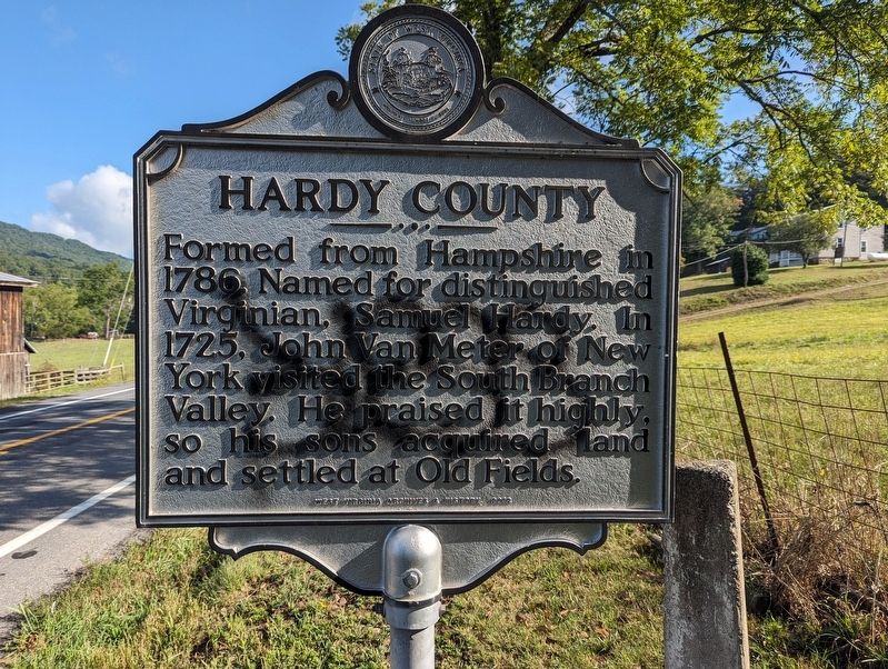
Hardy County. Formed from Hampshire in 1786. Named for distinguished Virginian, Samuel Hardy. In 1725, John Van Meter of New York visited the South Branch Valley. He praised it highly, so his sons acquired land and settled at Old Fields.
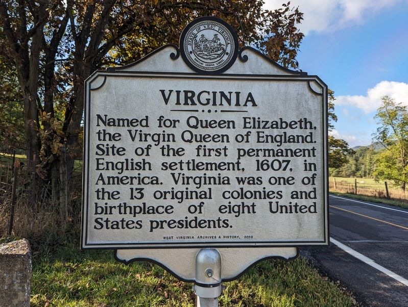
Virginia. Named for Queen Elizabeth, the Virgin Queen of England. Site of the first permanent English settlement, 1607, in America. Virginia was one of the 13 original colonies and birthplace of eight United States presidents.
Erected 2012 by West Virginia Archives & History.
Topics. This historical marker is listed in these topic lists: Colonial Era • Political Subdivisions • Settlements & Settlers • Women. A significant historical year for this entry is 1786.
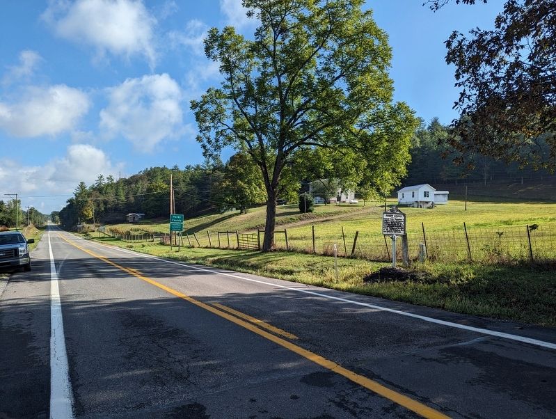
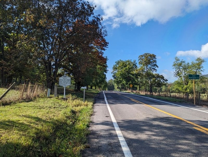
Location. 38° 46.897′ N, 78° 53.755′ W. Marker is in Mathias, West Virginia, in Hardy County. Marker is on West Virginia Route 259, 0.6 miles south of Sawmill Lane, on the right when traveling north. Touch for map. Marker is in this post office area: Mathias WV 26812, United States of America. Touch for directions.
Other nearby markers. At least 8 other markers are within 11 miles of this marker, measured as the crow flies. Mathias Veterans Memorial (approx. 6.8 miles away); Mathias Homestead (approx. 6.8 miles away); Howard's Lick / Jackson Home (approx. 7 miles away); Lee House Museum (approx. 8 miles away); Action at Mill Creek (approx. 8.2 miles away in Virginia); Mt. Olive Lutheran Church (approx. 10.4 miles away); Andrew Zirkle Mill (approx. 10˝ miles away in Virginia); Lost River’s First Church (approx. 10.8 miles away). Touch for a list and map of all markers in Mathias.
Credits. This page was last revised on December 25, 2023. It was originally submitted on September 11, 2023, by Mike Wintermantel of Pittsburgh, Pennsylvania. This page has been viewed 86 times since then and 39 times this year. Last updated on December 19, 2023, by Carl Gordon Moore Jr. of North East, Maryland. Photos: 1, 2, 3, 4. submitted on September 11, 2023, by Mike Wintermantel of Pittsburgh, Pennsylvania. • Devry Becker Jones was the editor who published this page.


