Waverly in Bremer County, Iowa — The American Midwest (Upper Plains)
The Bremer Avenue Bridge over the Cedar River
Photographed by Cosmos Mariner, June 28, 2021
1. The Bremer Avenue Bridge over the Cedar River Marker
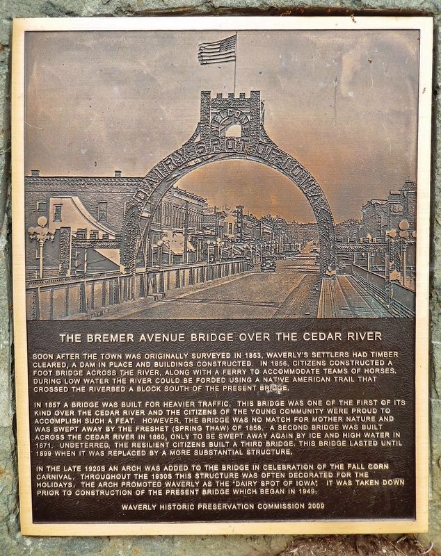
Soon after the town was originally surveyed in 1853, Waverly’s settlers had timber cleared, a dam in place and buildings constructed. In 1856, citizens constructed a foot bridge across the river, along with a ferry to accommodate teams of horses. During low water the river could be forded using a Native American trail that crossed the riverbed a block south of the present bridge.
In 1857 a bridge was built for heavier traffic. This bridge was one of the first of its kind over the Cedar River and the citizens of the young community were proud to accomplish such a feat. However, the bridge was no match for Mother Nature and was swept away by the freshet (Spring thaw) of 1858. A second bridge was built across the Cedar River in 1860, only to be swept away again by ice and high water in 1871. Undeterred, the resilient citizens built a third bridge. This bridge lasted until 1899 when it was replaced by a more substantial structure.
In the late 1920s an arch was added to the bridge in celebration of the Fall Corn Carnival. Throughout the 1930s this structure was often decorated for the holidays. The arch promoted Waverly as the
this page online
Erected 2009 by Waverly Historic Preservation Commission.
Topics. This historical marker is listed in these topic lists: Bridges & Viaducts • Settlements & Settlers • Waterways & Vessels. A significant historical year for this entry is 1856.
Location. 42° 43.556′ N, 92° 28.292′ W. Marker is in Waverly, Iowa, in Bremer County. It is on East Bremer Avenue (Iowa Route 3) just east of 1st Street Northwest, on the right when traveling west. The marker is located along the walkway in Kohlmann Park, near the northwest corner of the bridge. Touch for map. Marker is in this post office area: Waverly IA 50677, United States of America. Touch for directions.

Regionally, this marker is in North Iowa. It is also in the American Midwest and in the Corn Belt. Globally, it is in North America, the Western Hemisphere, the Western World, and the Anglosphere. Historically, it finds itself in what was once the territory of the Mississippian Culture and also the Louisiana Purchase.
Other nearby markers. At least 8 other markers
Photographed by Cosmos Mariner, June 28, 2021
2. The Bremer Avenue Bridge over the Cedar River Marker
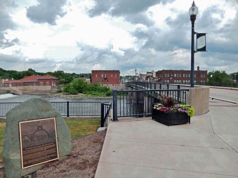
Looking east. Bremer Avenue and the bridge are on the right.
Photographed by Cosmos Mariner, June 28, 2021
3. The Bremer Avenue Bridge over the Cedar River Marker
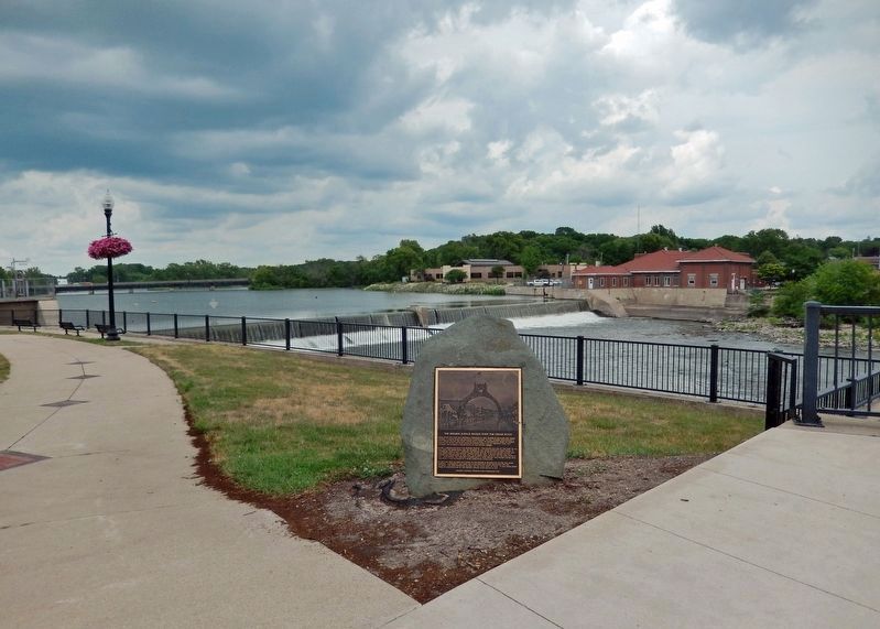
Looking northeast. The Cedar River is in the background.
Photographed by Cosmos Mariner, June 28, 2021
4. The Bremer Avenue Bridge over the Cedar River
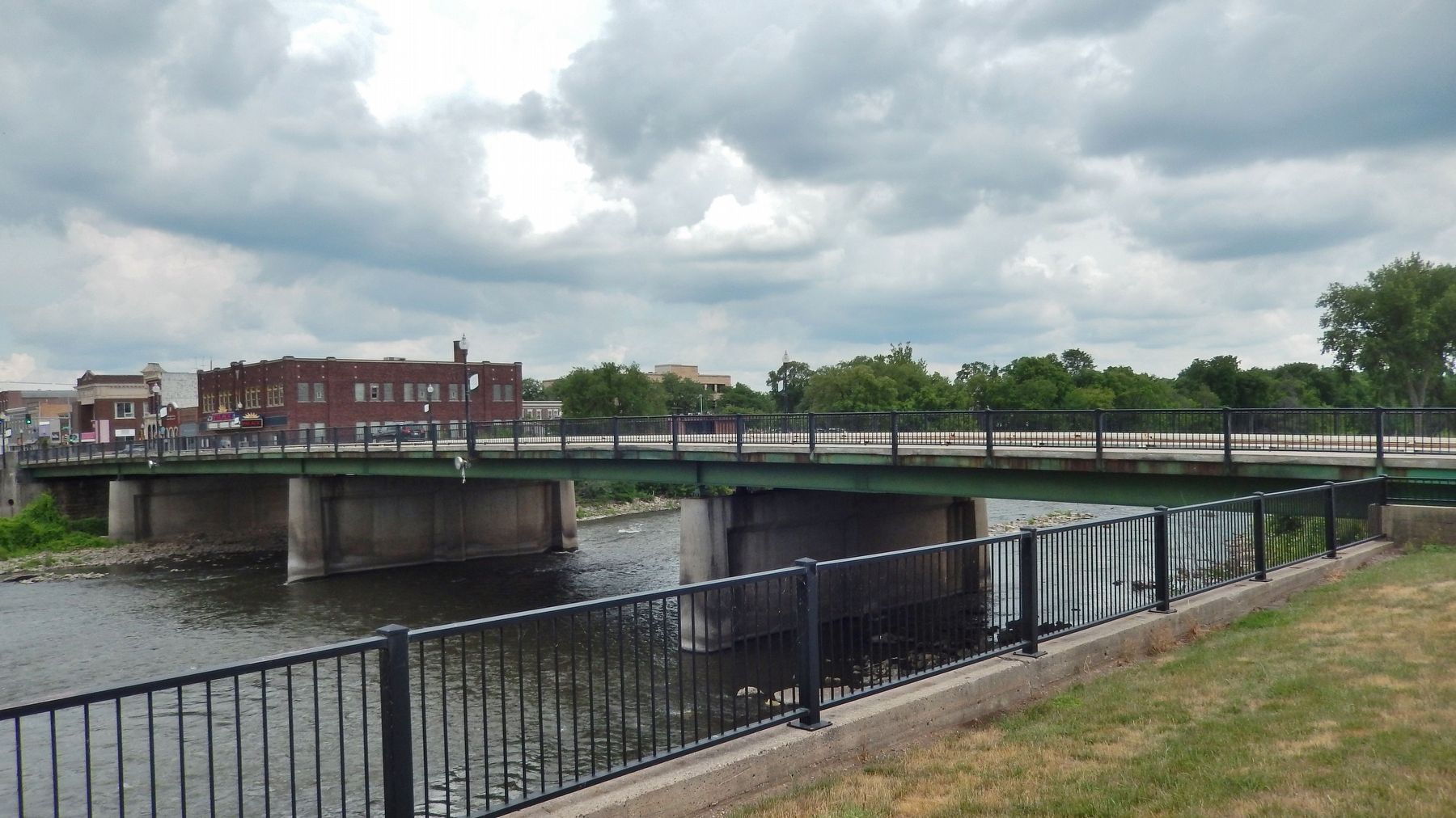
Looking southeast from Kohlmann Park.
Credits. This page was last revised on December 24, 2023. It was originally submitted on December 21, 2023, by Cosmos Mariner of Cape Canaveral, Florida. This page has been viewed 922 times since then and 51 times this year. Photos: 1, 2, 3, 4. submitted on December 24, 2023, by Cosmos Mariner of Cape Canaveral, Florida.
