New Roads in Pointe Coupée Parish, Louisiana — The American South (West South Central)
St. Mary's Cemetery
Photographed by Cajun Scrambler, December 21, 2023
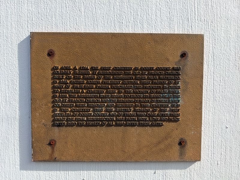
1. St. Mary's Cemetery Marker
On April 8, 1764 the first cemetery in Pointe Coupée was solemnly blessed. It surrounded the old St. Francis Church built on the banks of the Mississippi river near Waterloo. In 1865 Father Joseph Philibert Gutton, first pastor of St. Mary of False River Parish, purchased this property in order to establish a cemetery here in the vicinity of False River. In 1890, the Mississippi River began to erode it's banks near the old St. Francis church and the remains of many of these early colonists were removed and reburied in this cemetery. It's in this cemetery that the earthly remains of the first settlers of Pointe Coupée and of those who came after them await the final resurrection. May faith, hope love and peace enter into the hearts of all who enter these gates.
Topics. This historical marker is listed in this topic list: Cemeteries & Burial Sites. A significant historical date for this entry is April 8, 1764.
Location. 30° 41.836′ N, 91° 26.091′ W. Marker is in New Roads, Louisiana, in Pointe Coupée Parish. It is on New Roads Street (State Highway 1) east of 5th Street, on the right when traveling east. Touch for map. Marker
this page online

Regionally, this marker is in Acadiana — Cajun Country and in Greater Baton Rouge. It is also in the American South, specifically in the Deep South, and in the Great River Road Region. Globally, it is in North America, a Gulf of Mexico state, the Western Hemisphere, the Western World, and the Anglosphere. Historically, it finds itself in what was once New Spain, the Viceroyalty of New France, Acadia, the territory of the Mississippian Culture, the Louisiana Purchase, one of the Confederate States of America, and the Antebellum South.
Other nearby markers. At least 8 other markers are within walking distance of this marker: John Archer LeJeune (approx. 0.3 miles away); Lejeune, Lejern and How to Say It (approx. 0.3 miles away); Louisiana Supreme Court Chief Justice Catherine D. "Kitty" Kimball (approx. 0.3 miles away); Lieutenant General John Archer Lejeune (approx. 0.3 miles away); Place de la Croix (approx. 0.3 miles away); Brigadier General William H. Hogan (approx. 0.3 miles away); Lieutenant General Russel L. Honoré
Photographed by Cajun Scrambler, December 21, 2023
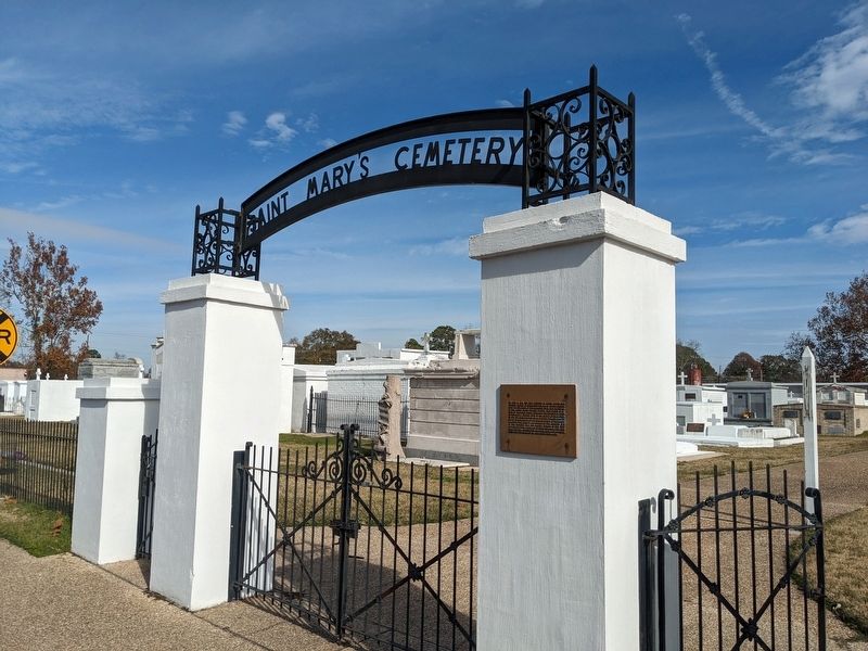
2. St. Mary of False River Cemetery Marker
Credits. This page was last revised on December 22, 2023. It was originally submitted on December 22, 2023, by Cajun Scrambler of Assumption, Louisiana. This page has been viewed 471 times since then and 49 times this year. Photos: 1, 2. submitted on December 22, 2023, by Cajun Scrambler of Assumption, Louisiana.
